Prehistoric Bajada "Hanging" Canals Menu & Directory
| Don Lancaster don@tinaja.com |
Jim Neely neelyja@utexas.edu (575) 686-0098 |
Prehistoric Bajada "Hanging" Canals Menu & Directory |
||
|
||
Click here for latest updates!
Click here for new canal menu!
Click here for our JFA Preprint.
Click here for the ARA Video!
Click here for the canal Images!
Click here Bajada Canal Tutorial.
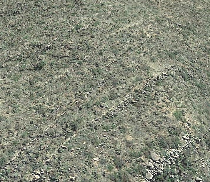
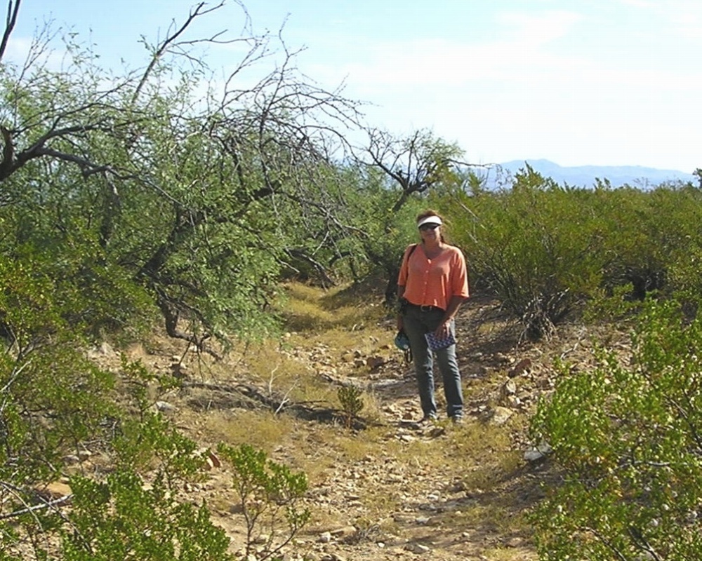
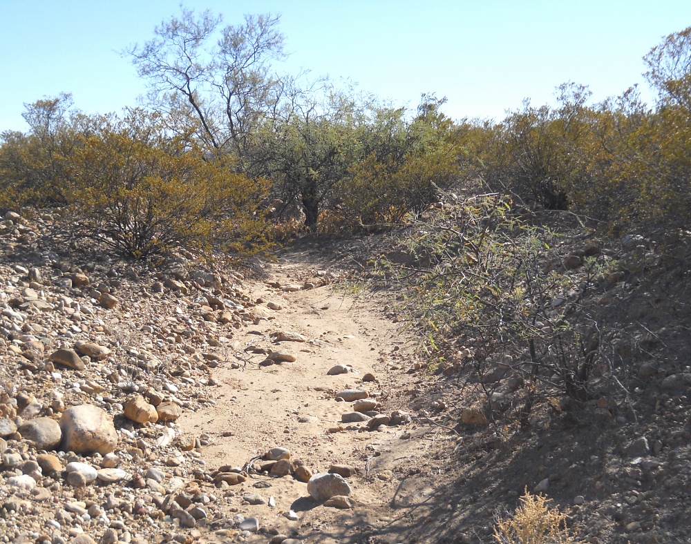
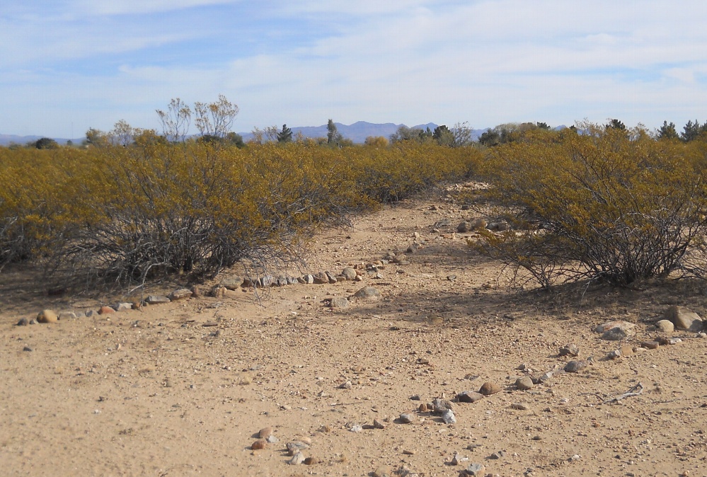
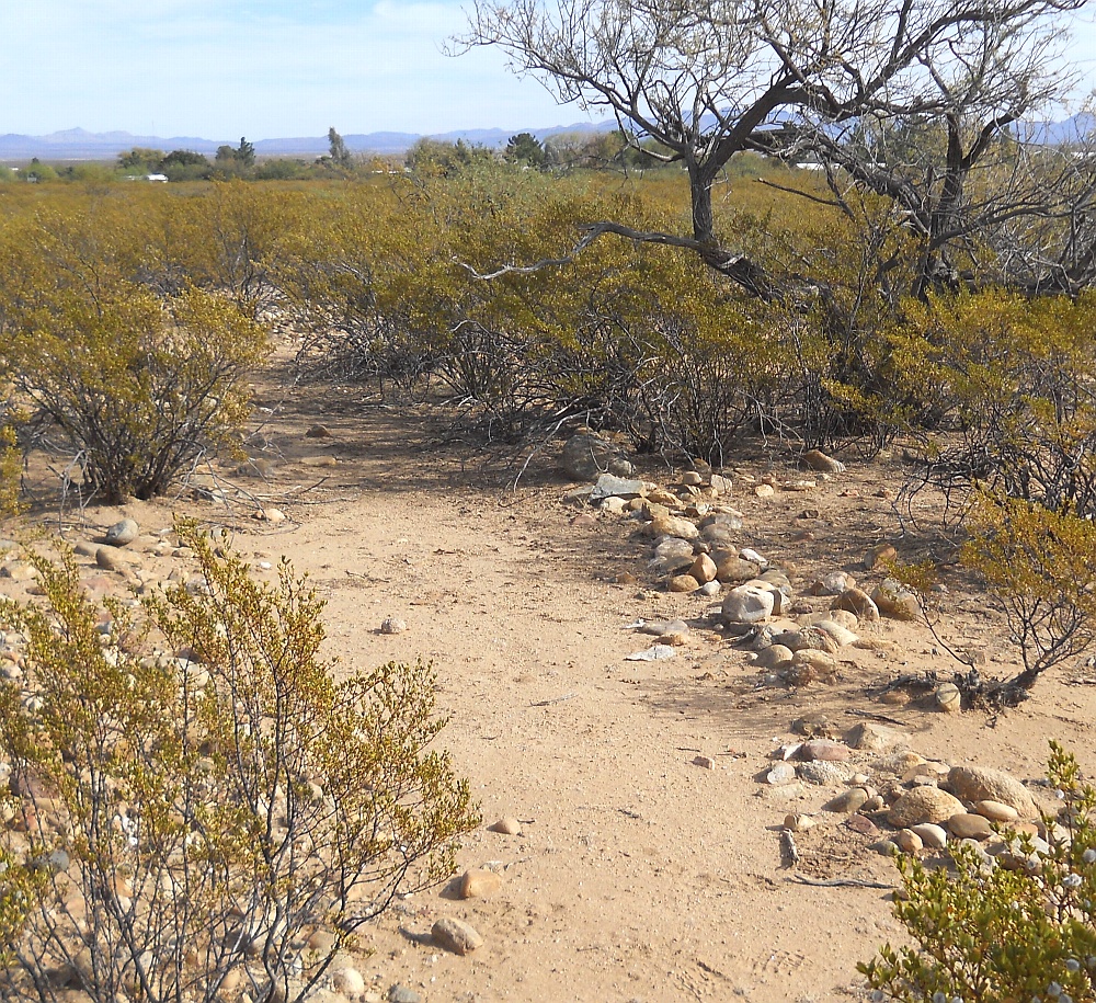
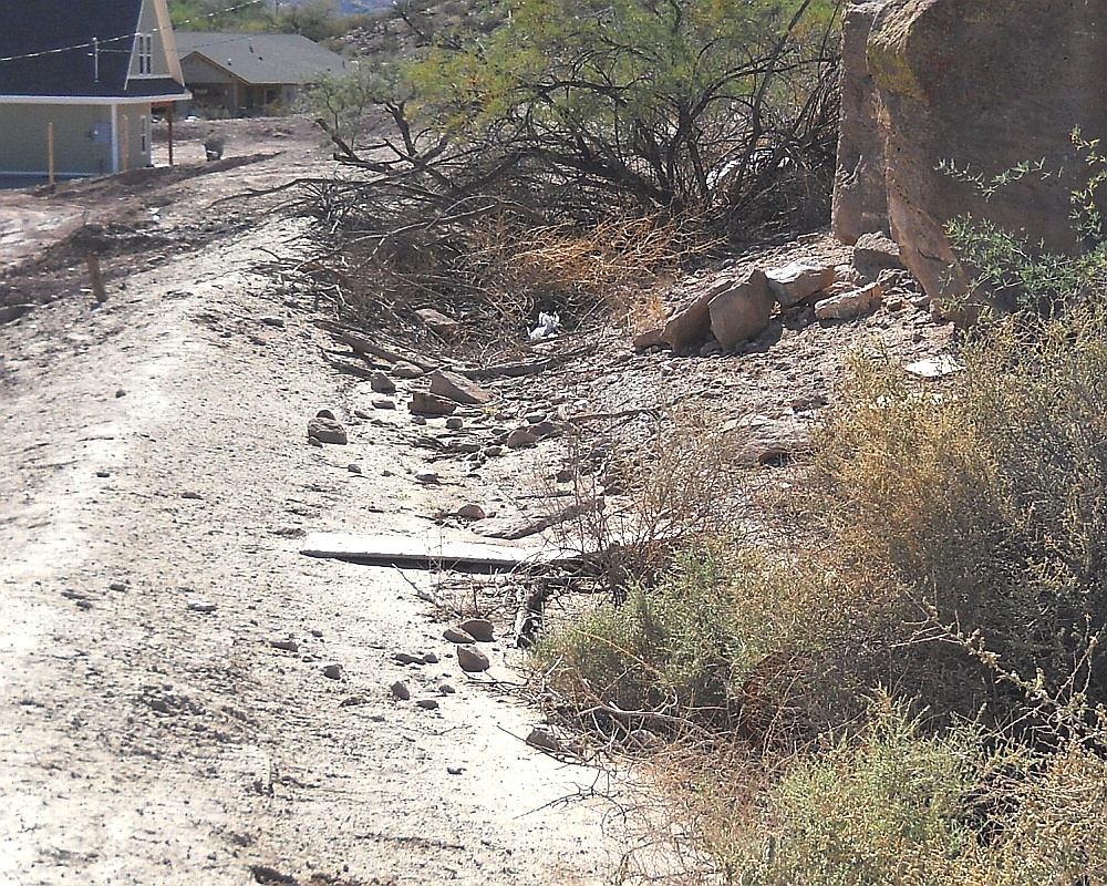
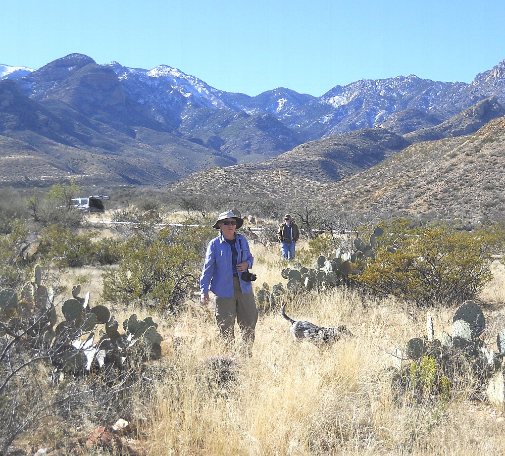
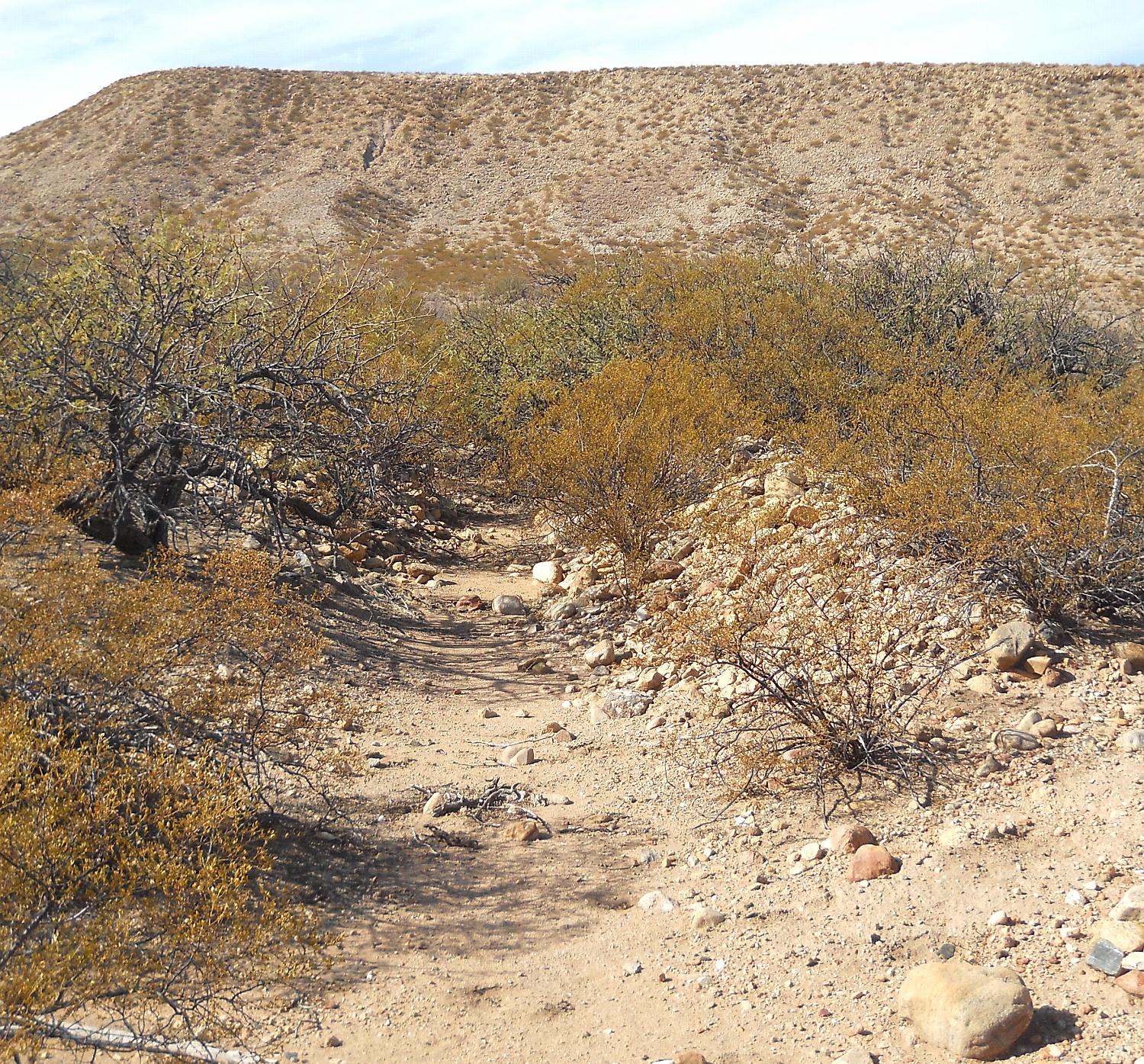
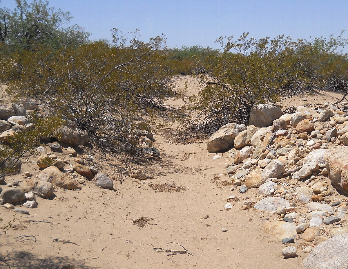
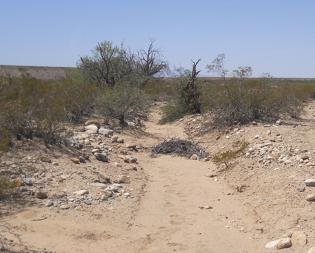
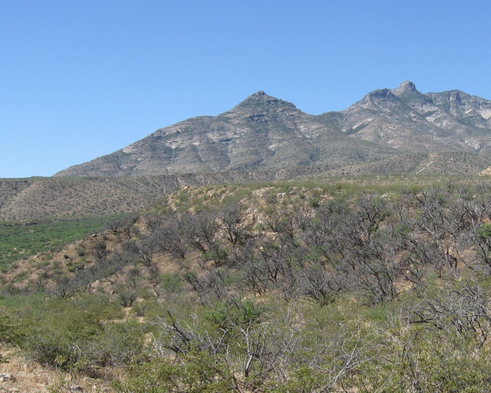
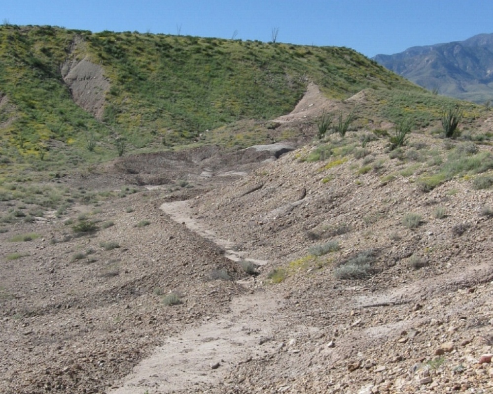
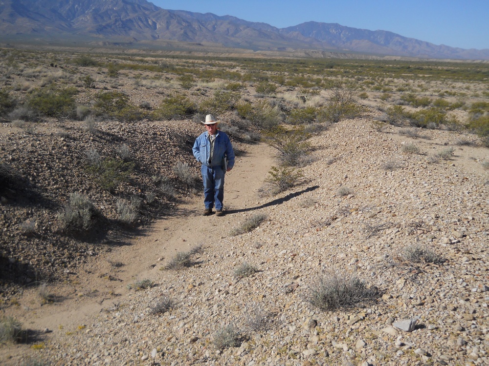
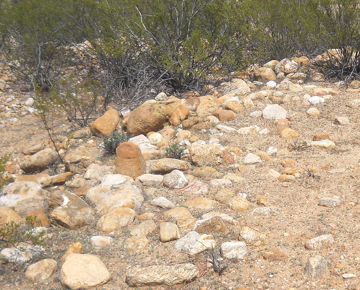
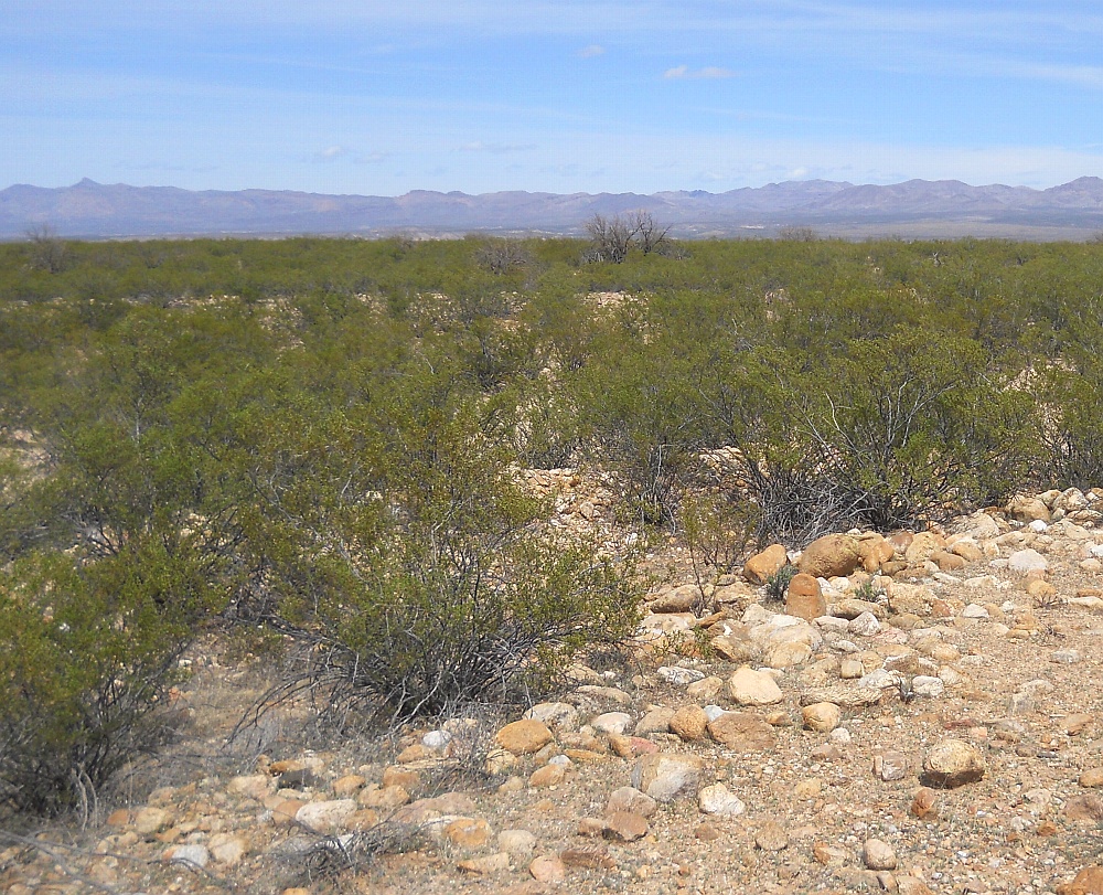
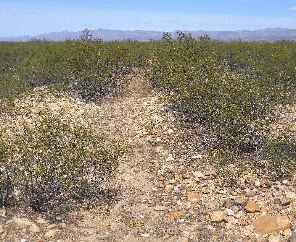
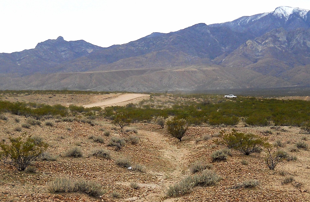
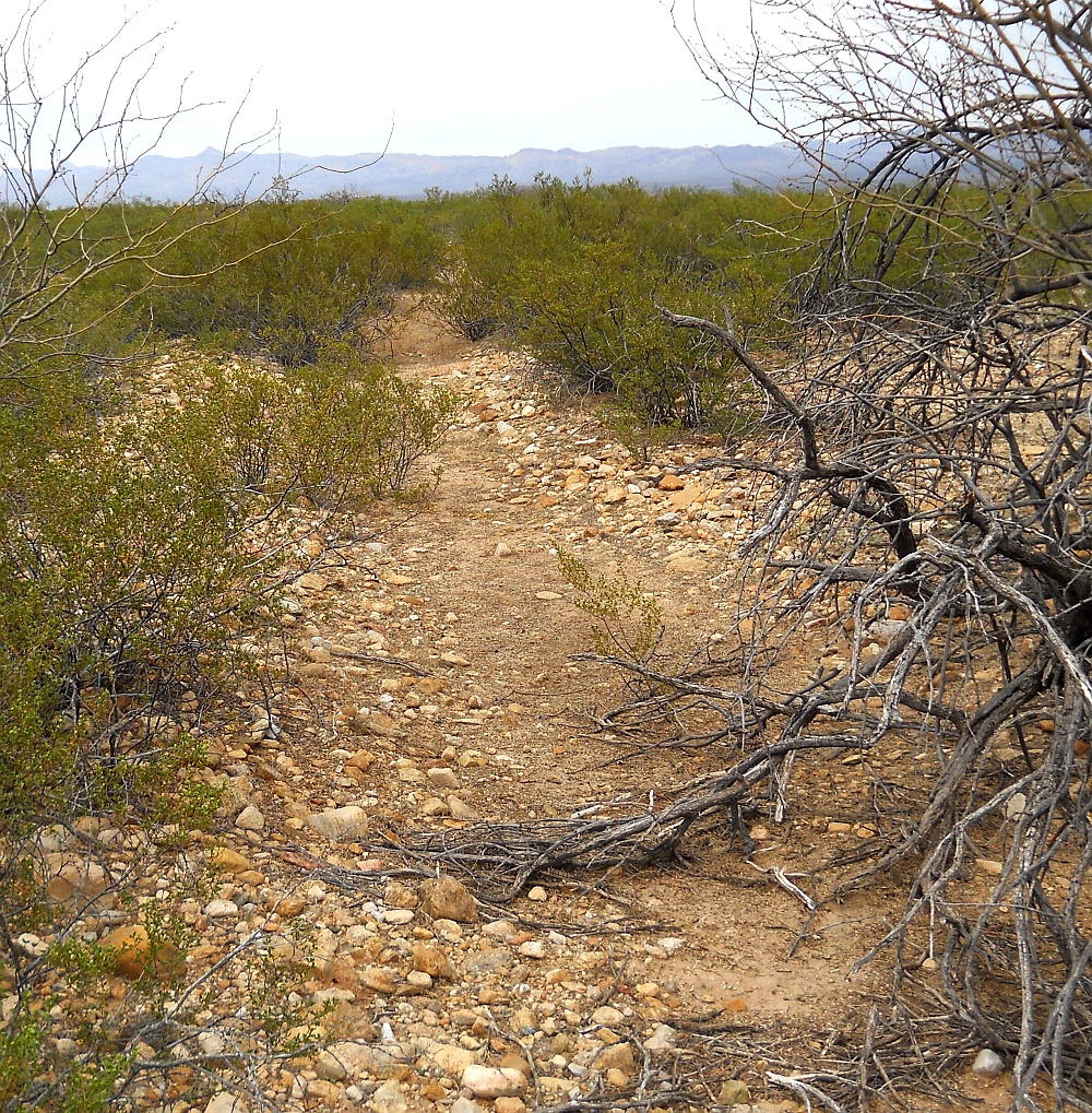
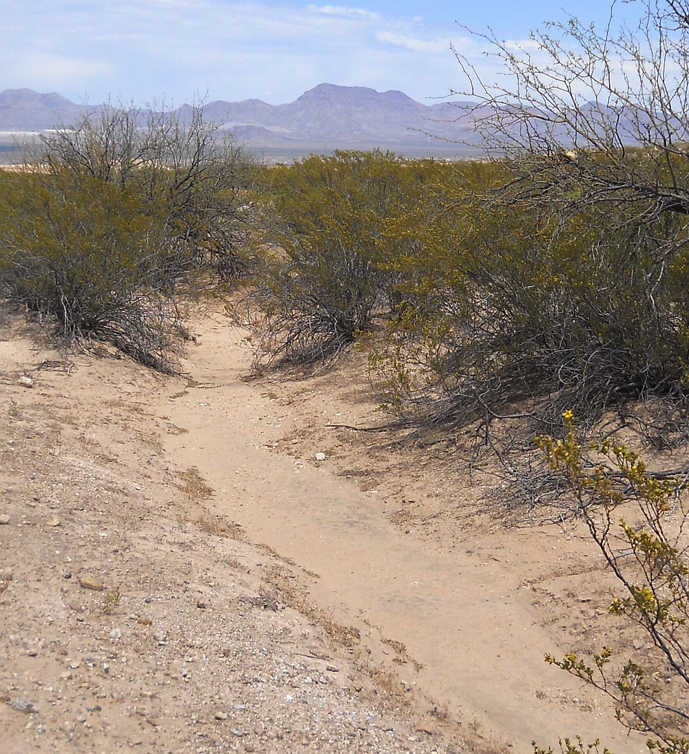
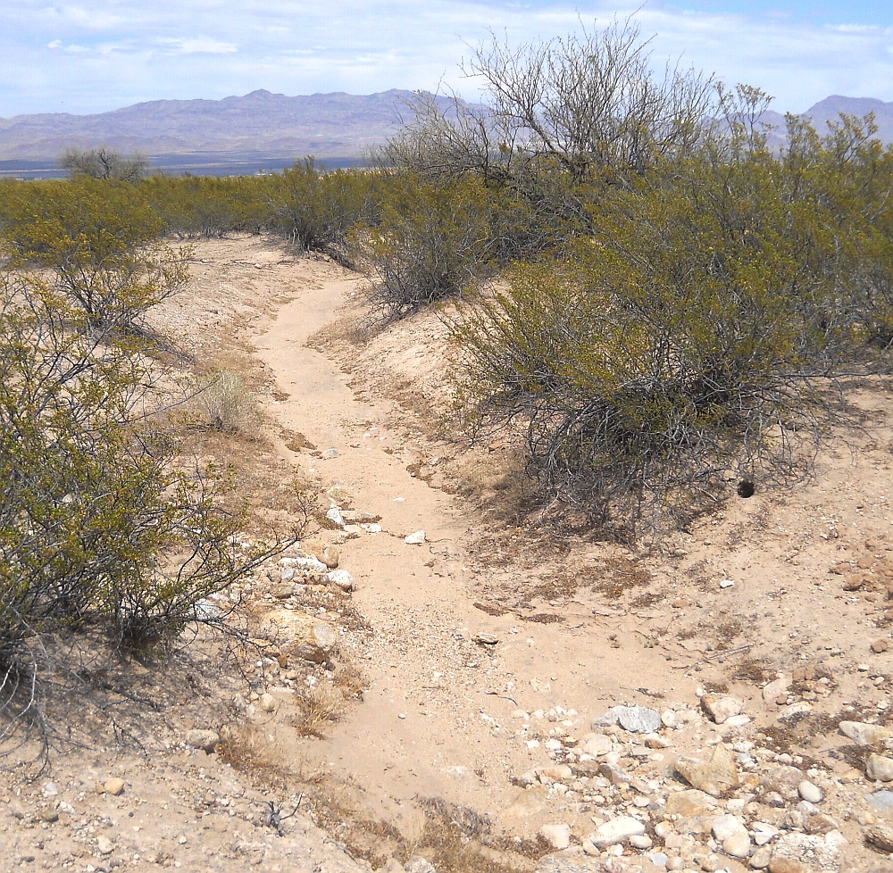
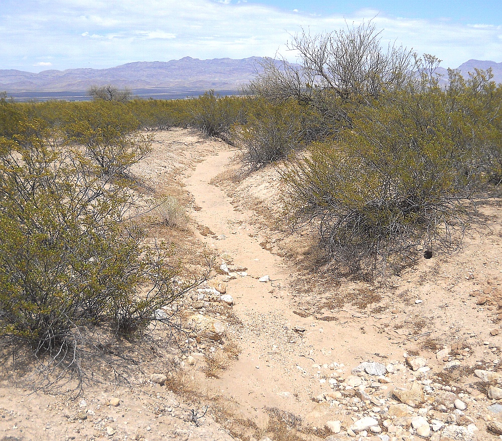
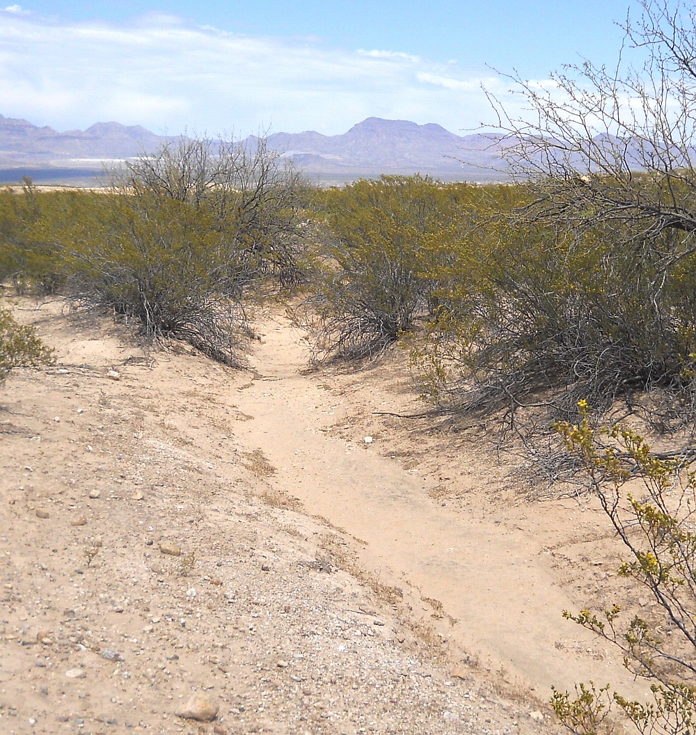
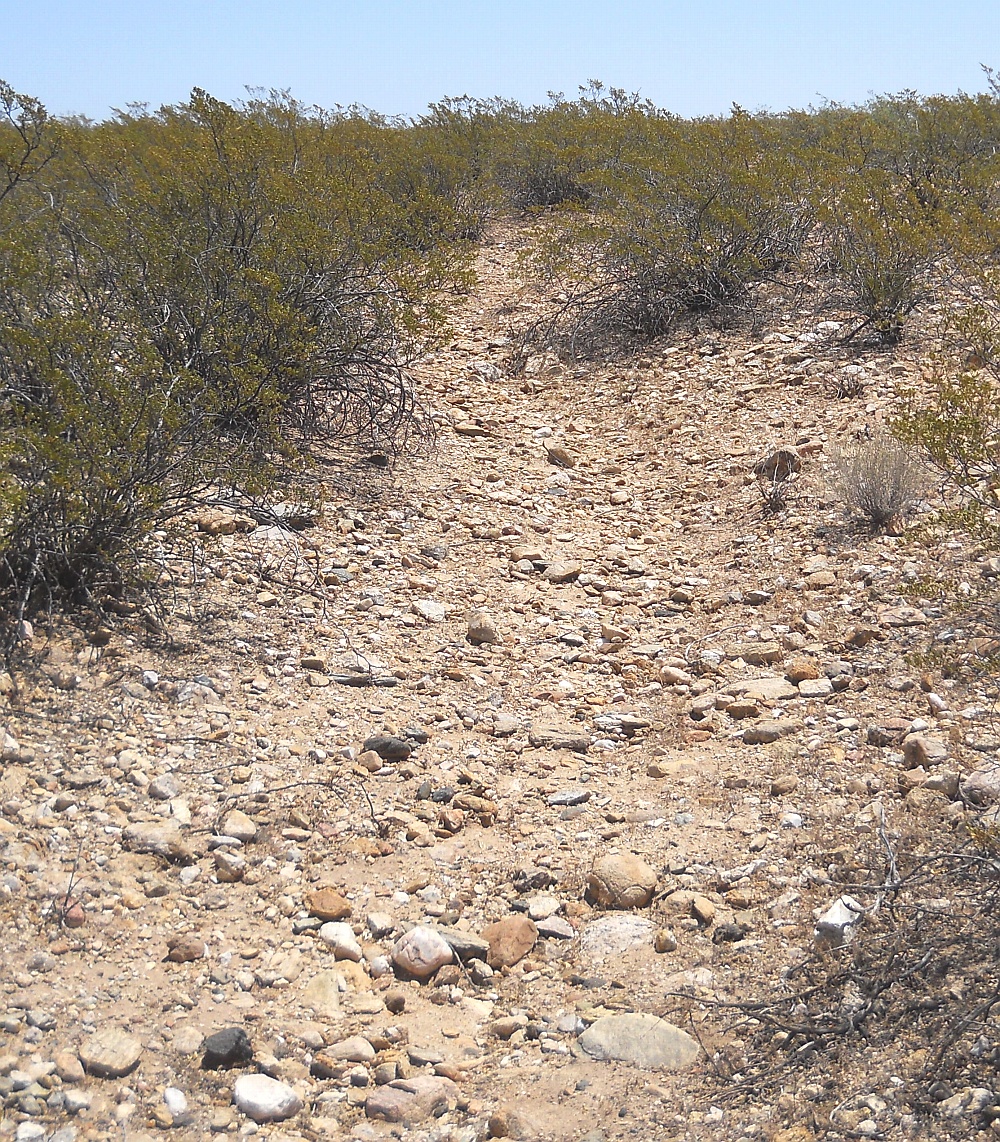
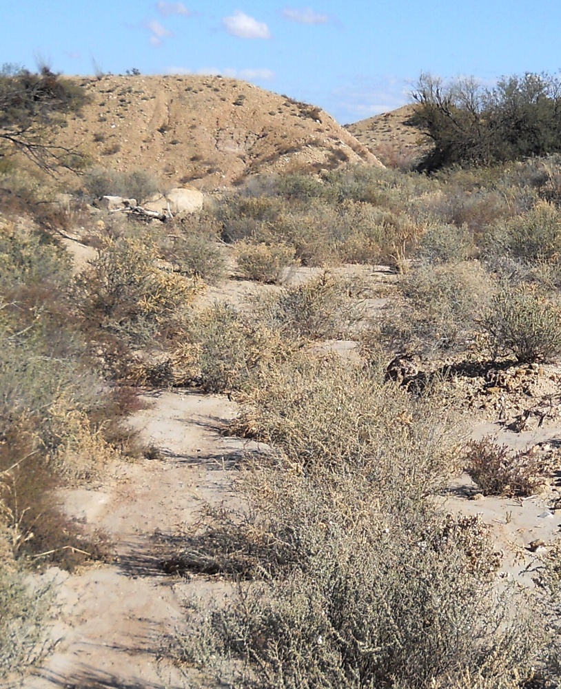
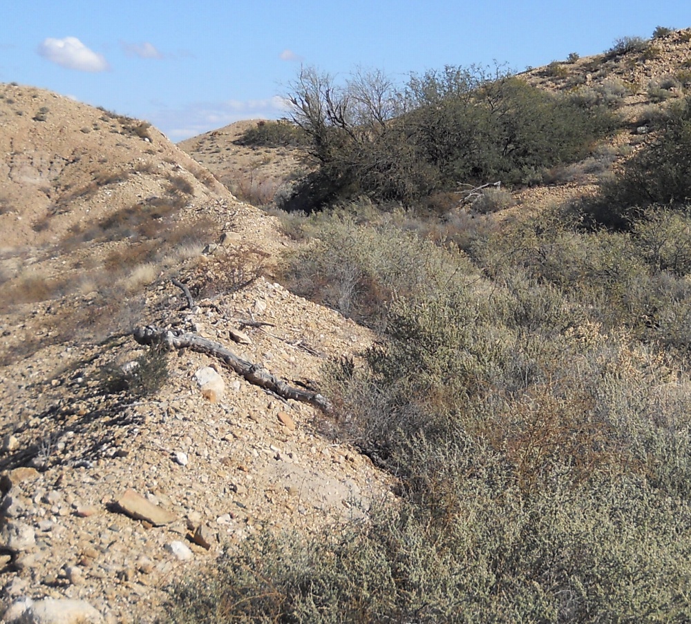
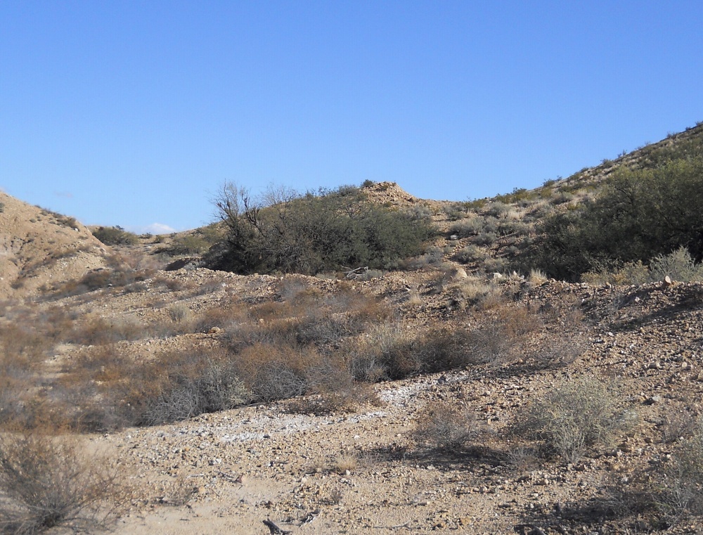
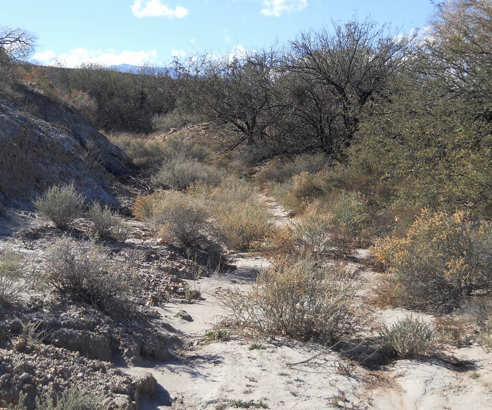
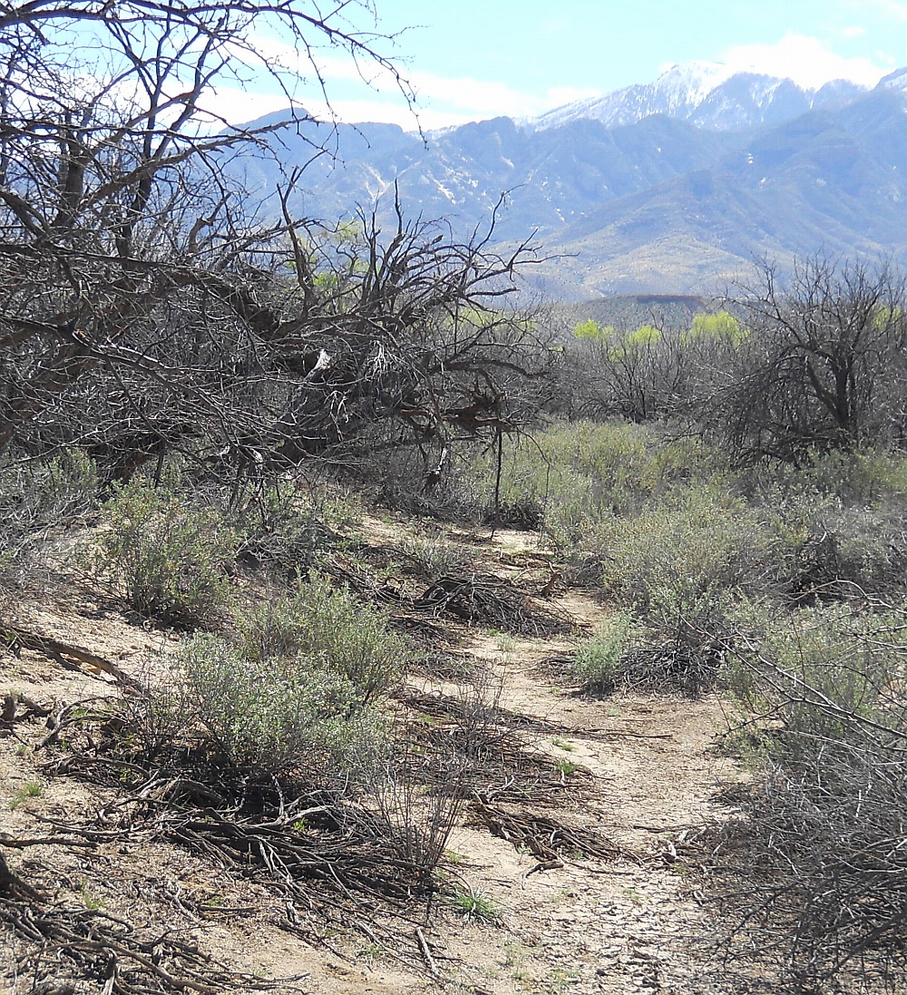
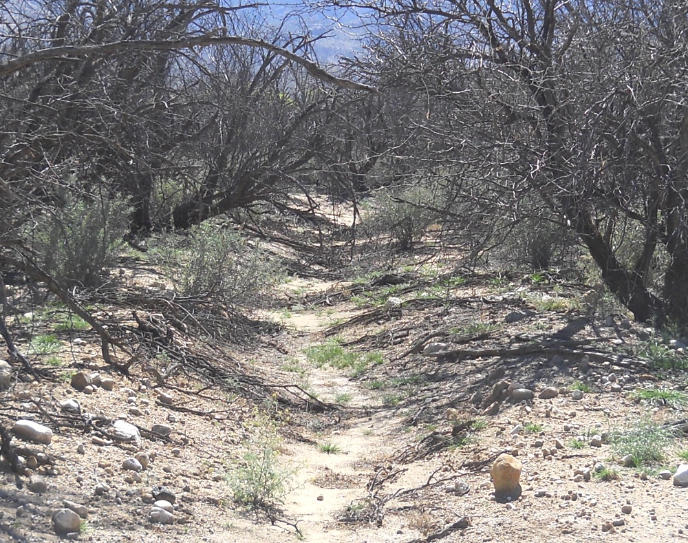
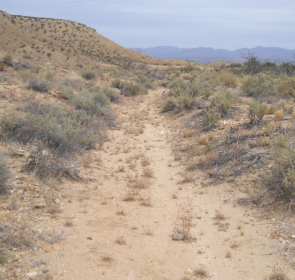
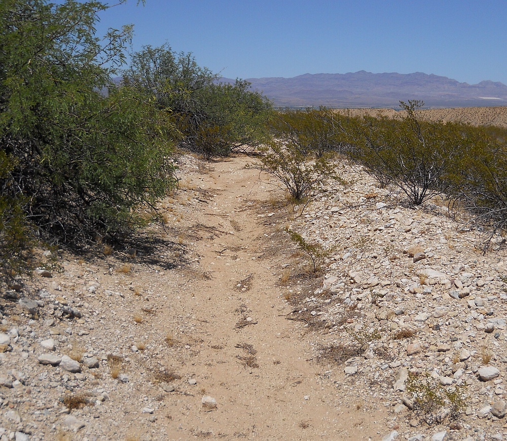
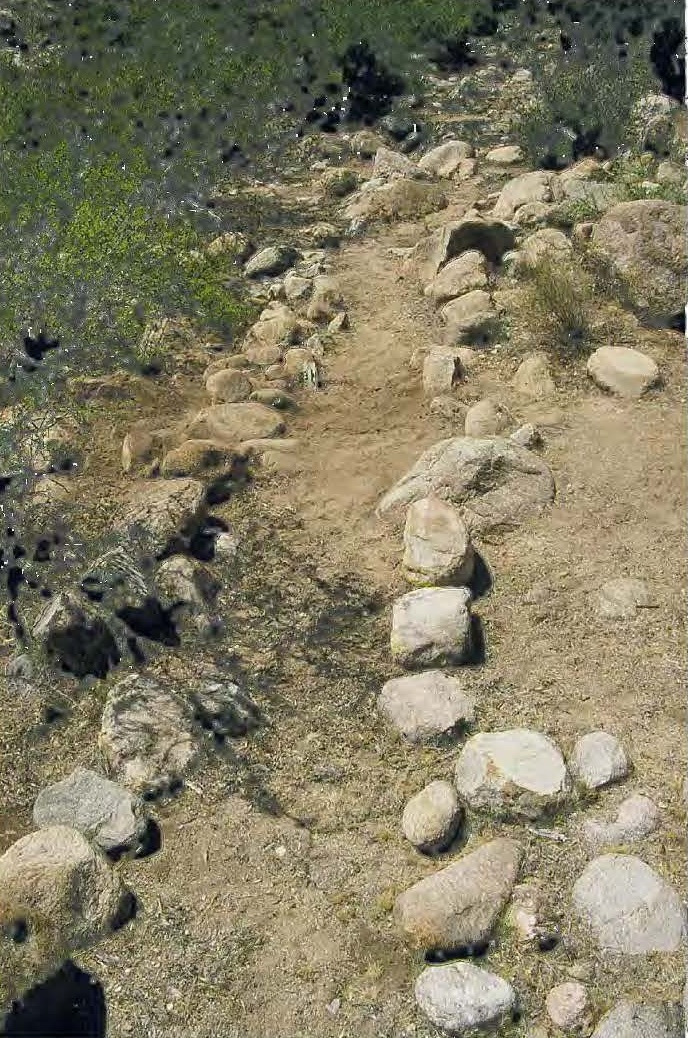
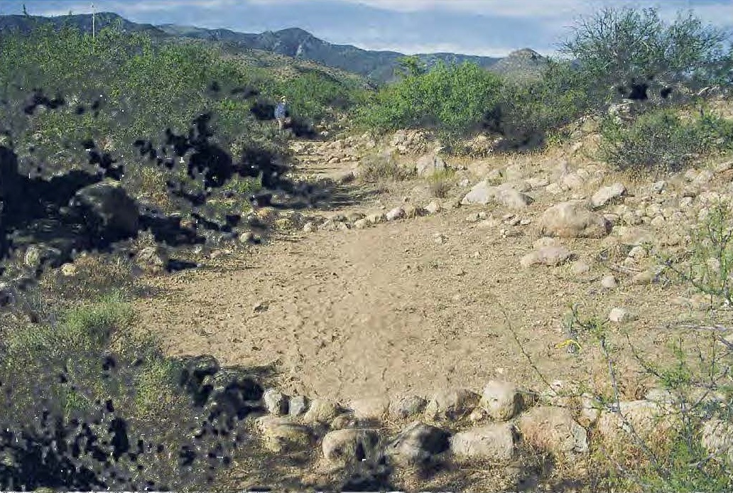
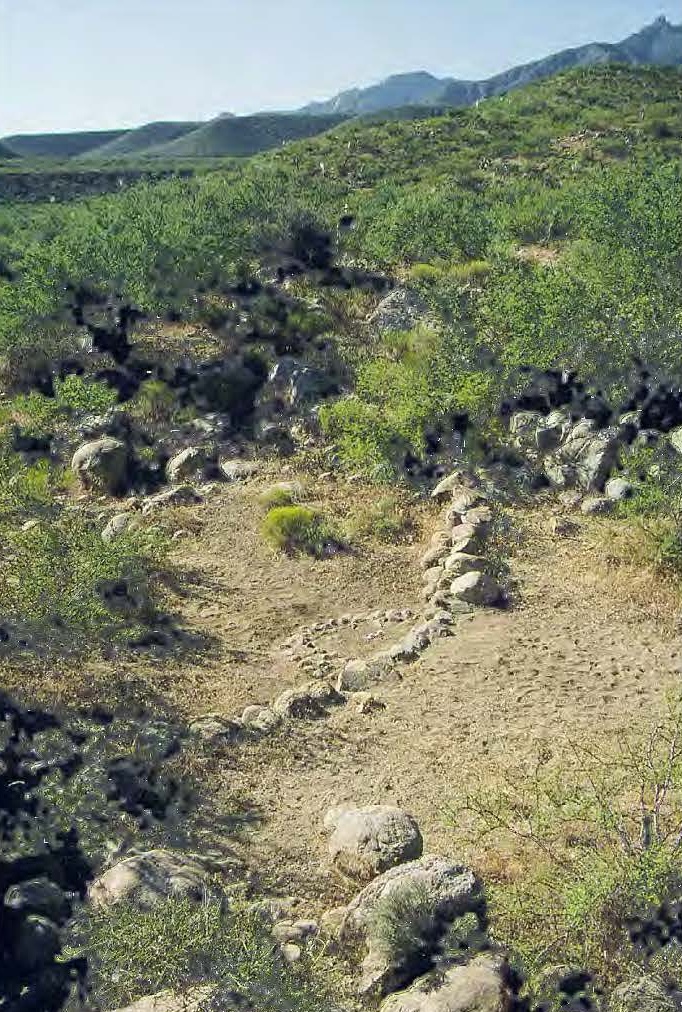
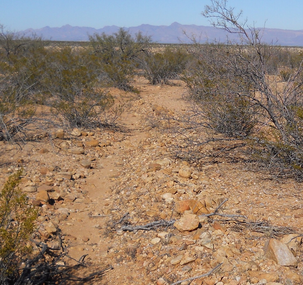
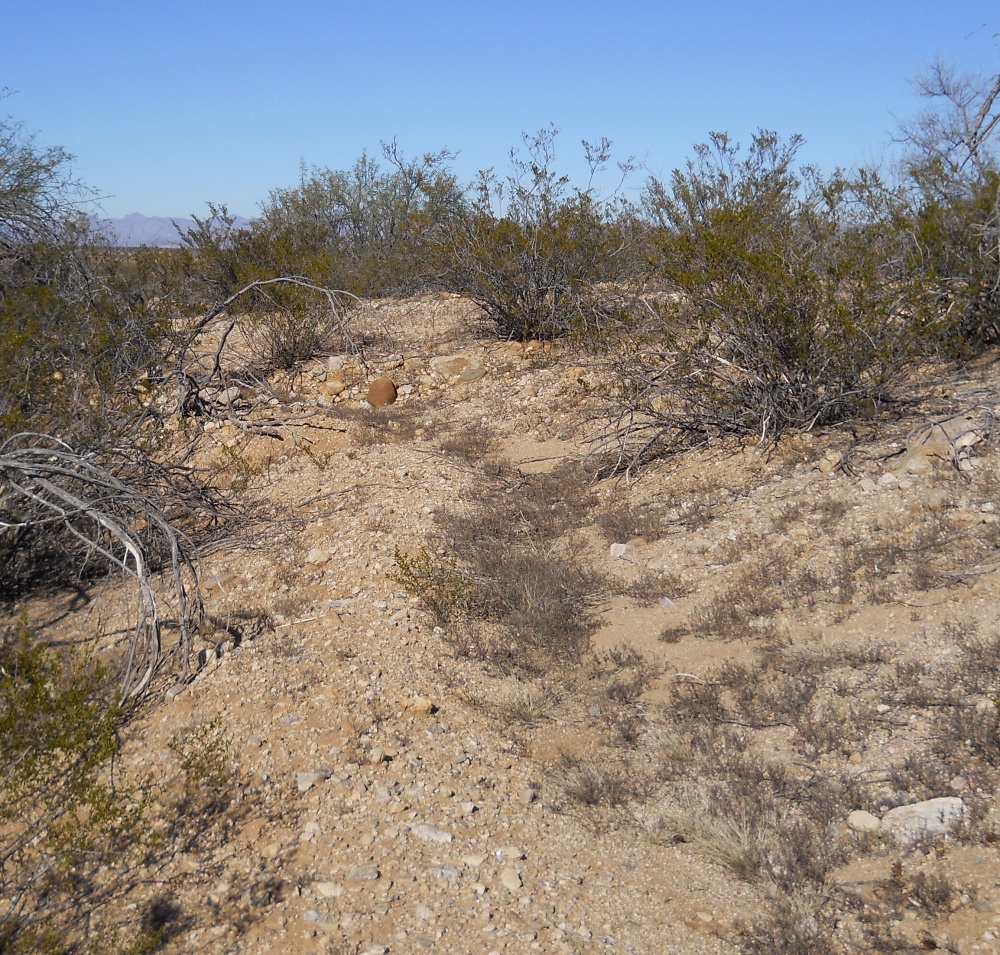
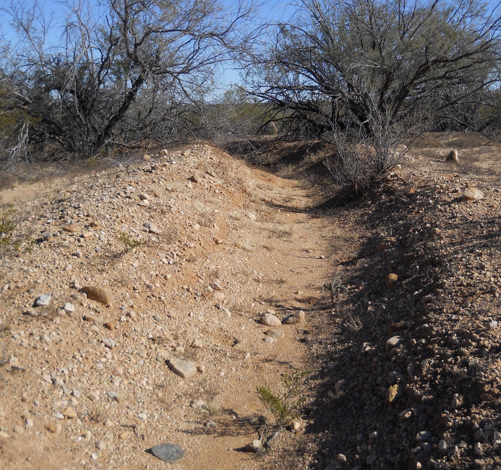
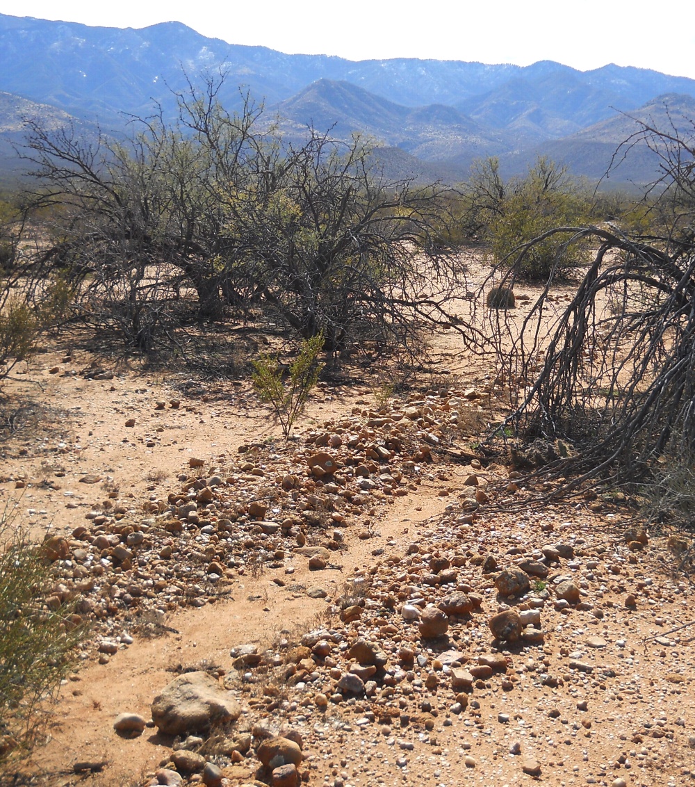
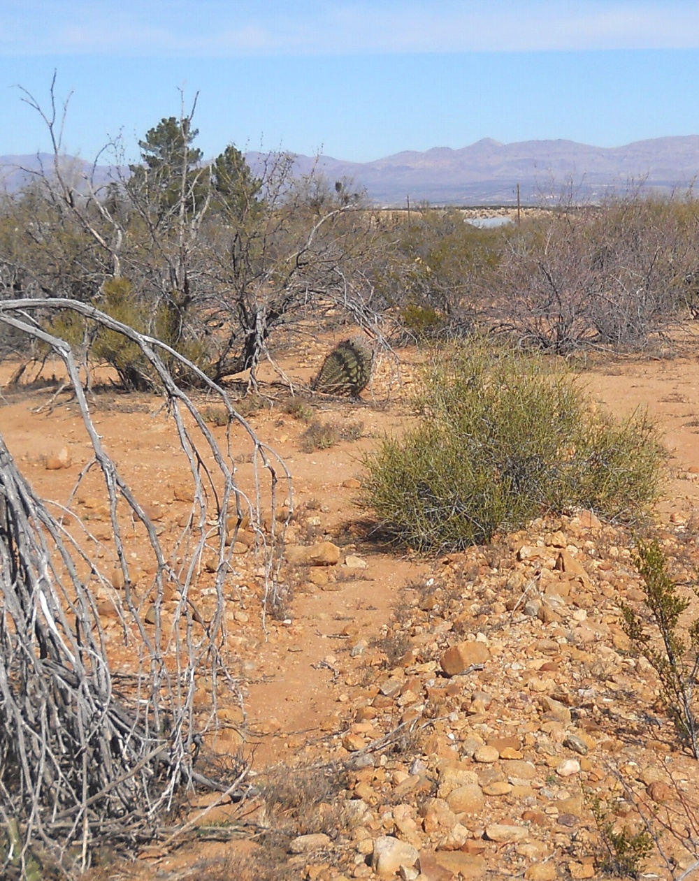
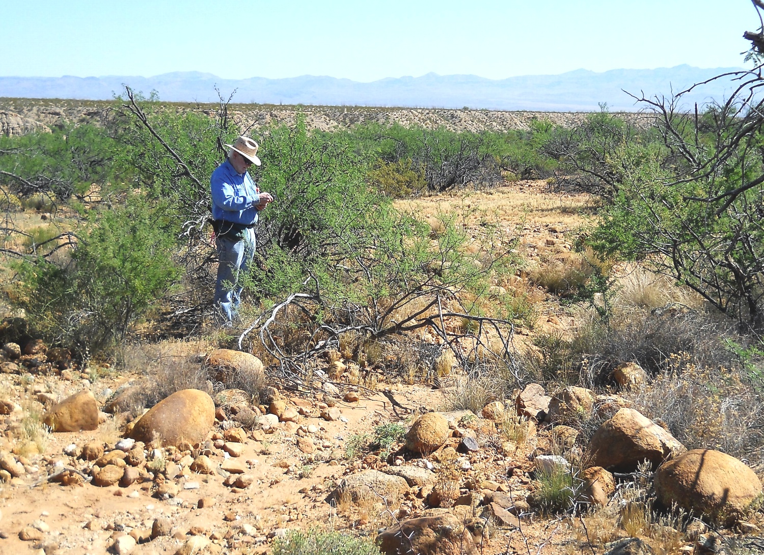
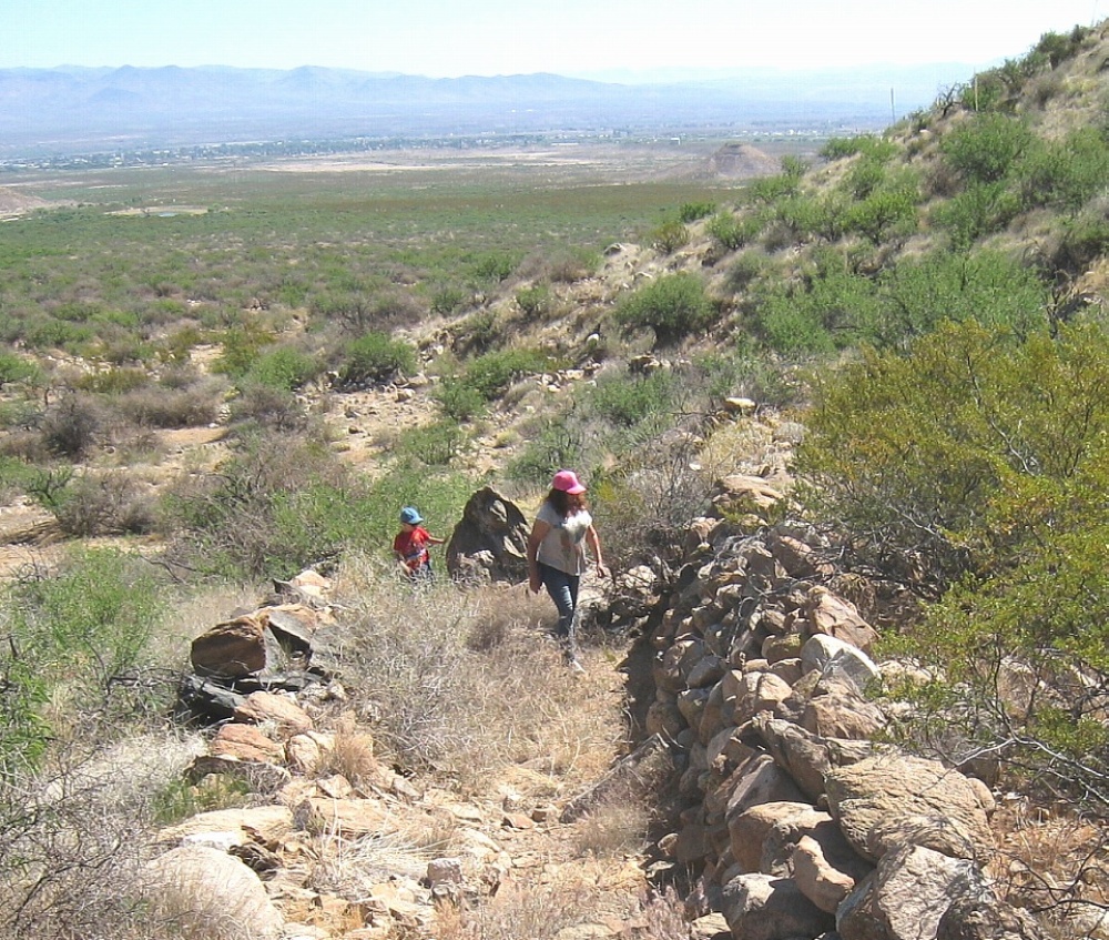
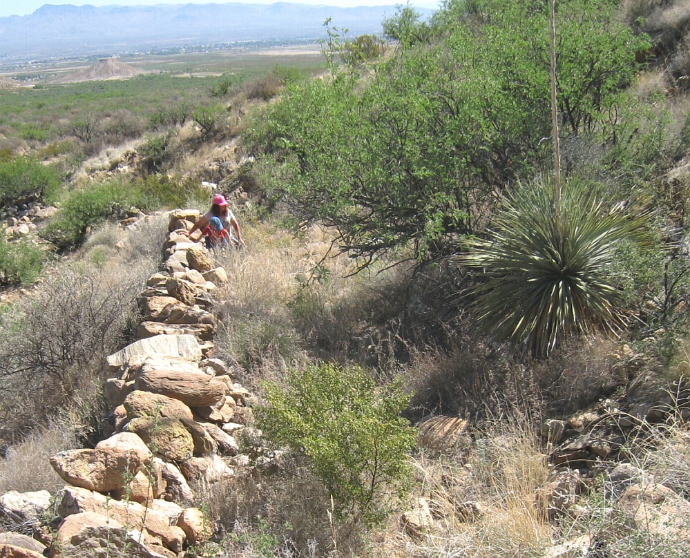
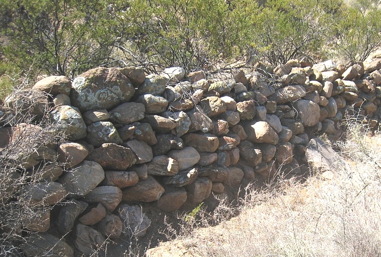
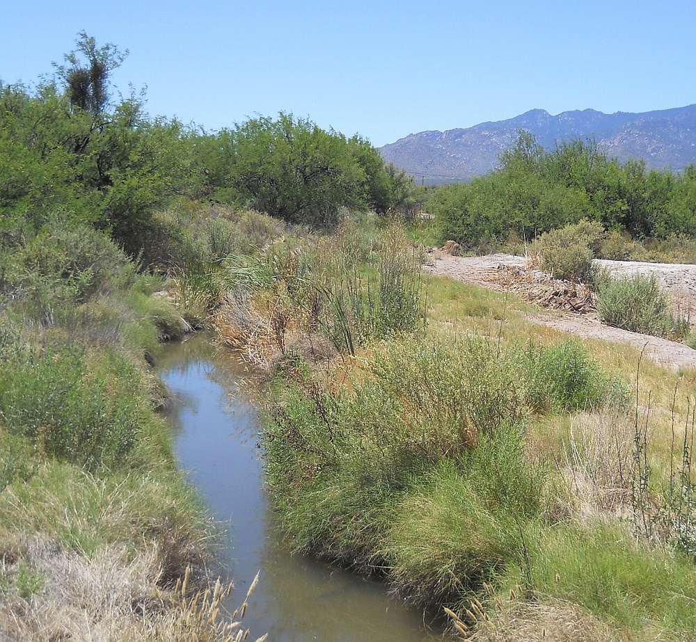
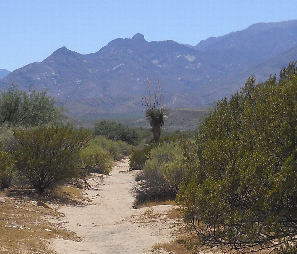
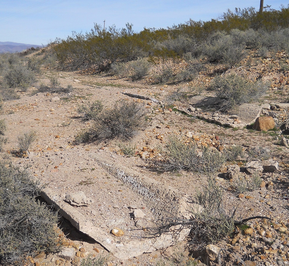
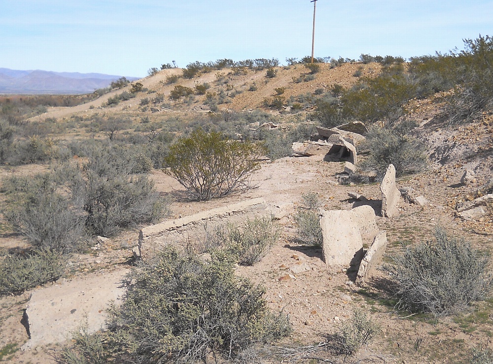
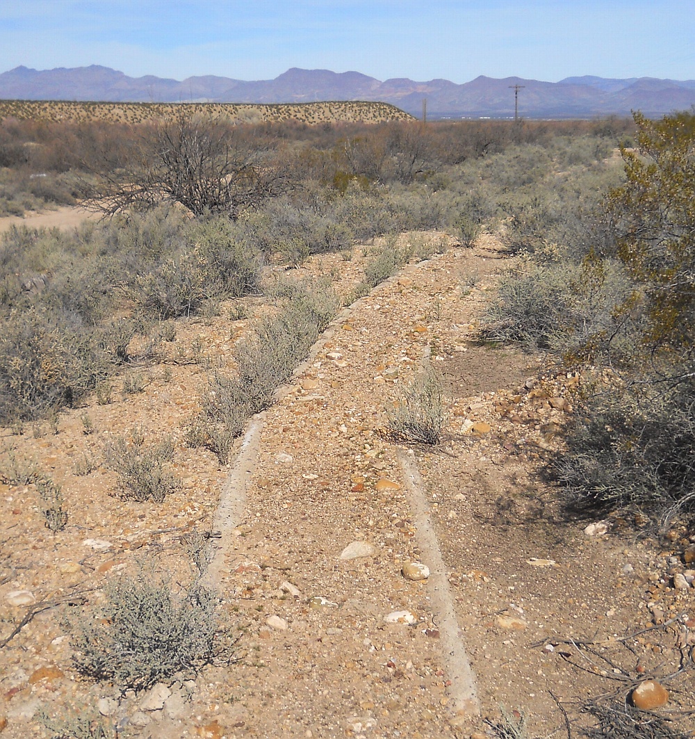
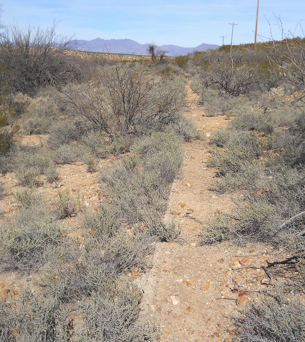
Some recent Safford AZ area discoveries have now located many dozens of Mt. Graham mountain stream fed prehistoric CE 1350 "hanging" canals that represent utterly mind boggling world class stone age engineering.
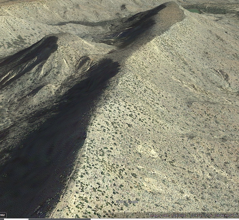
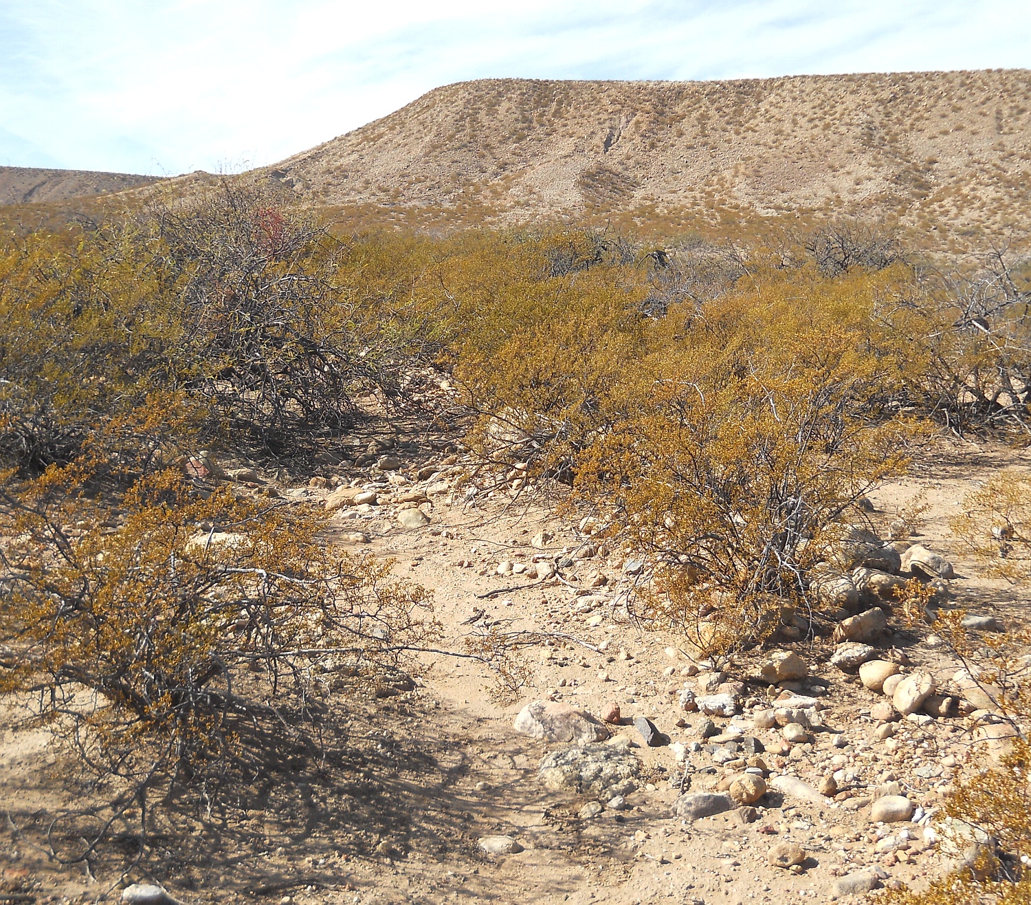
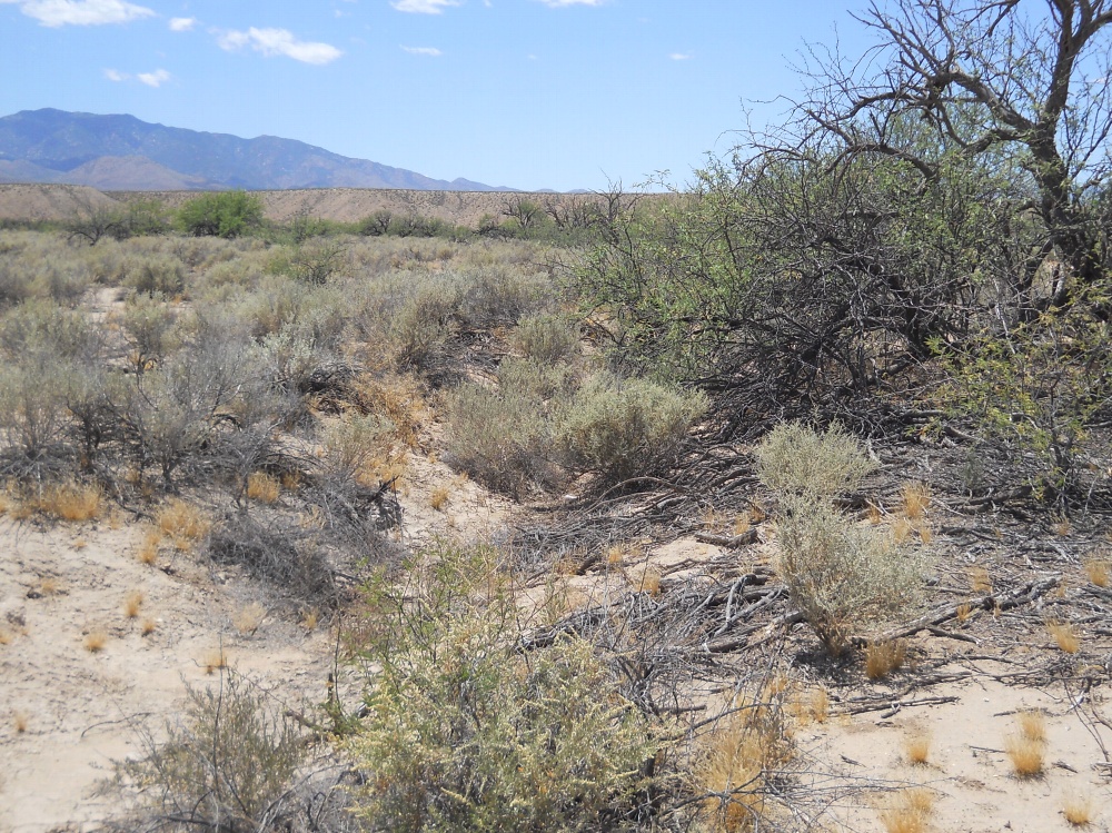
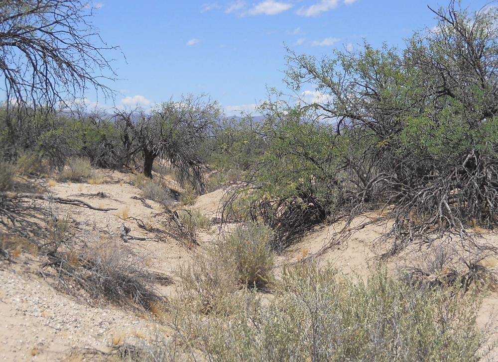
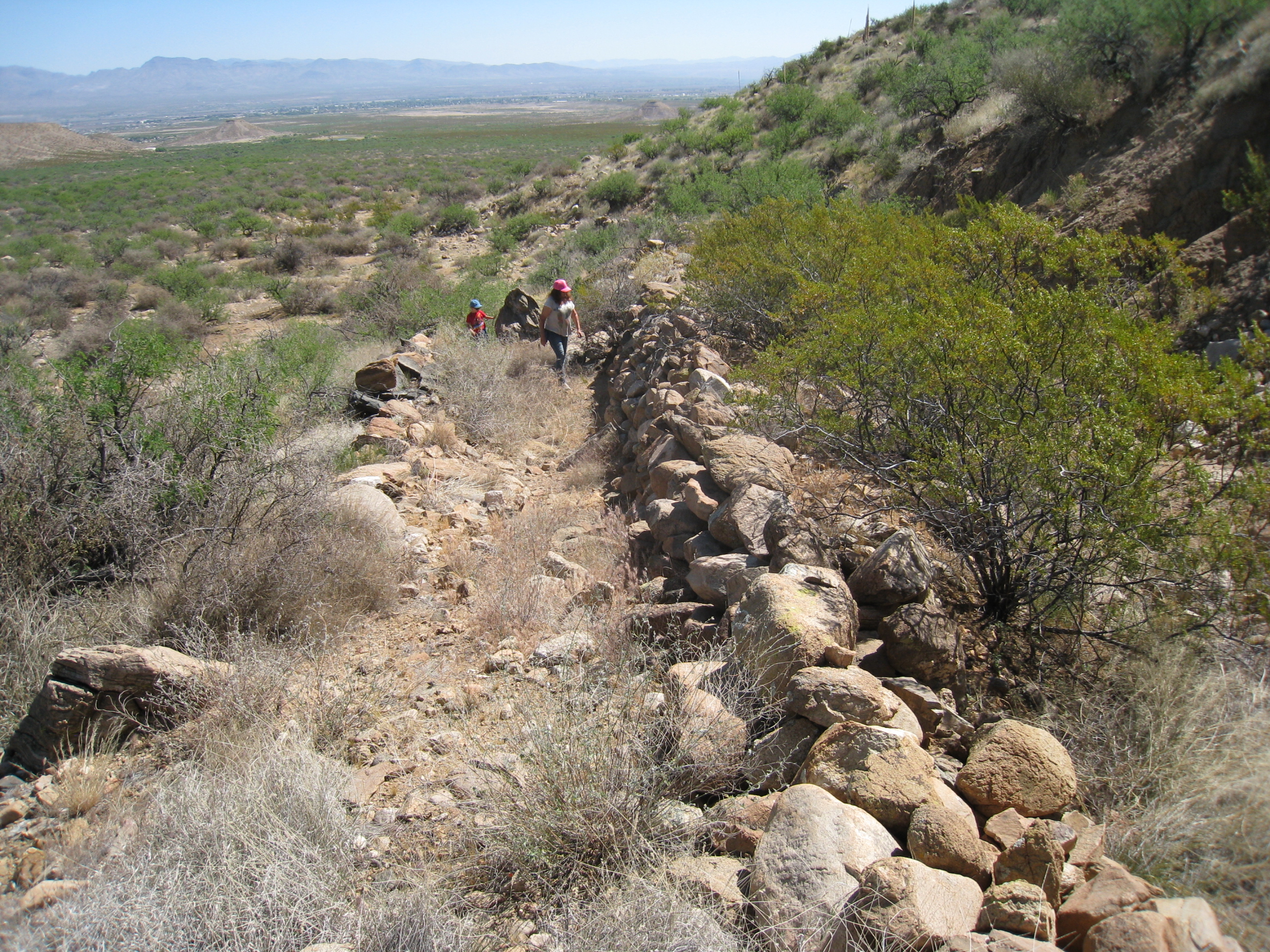
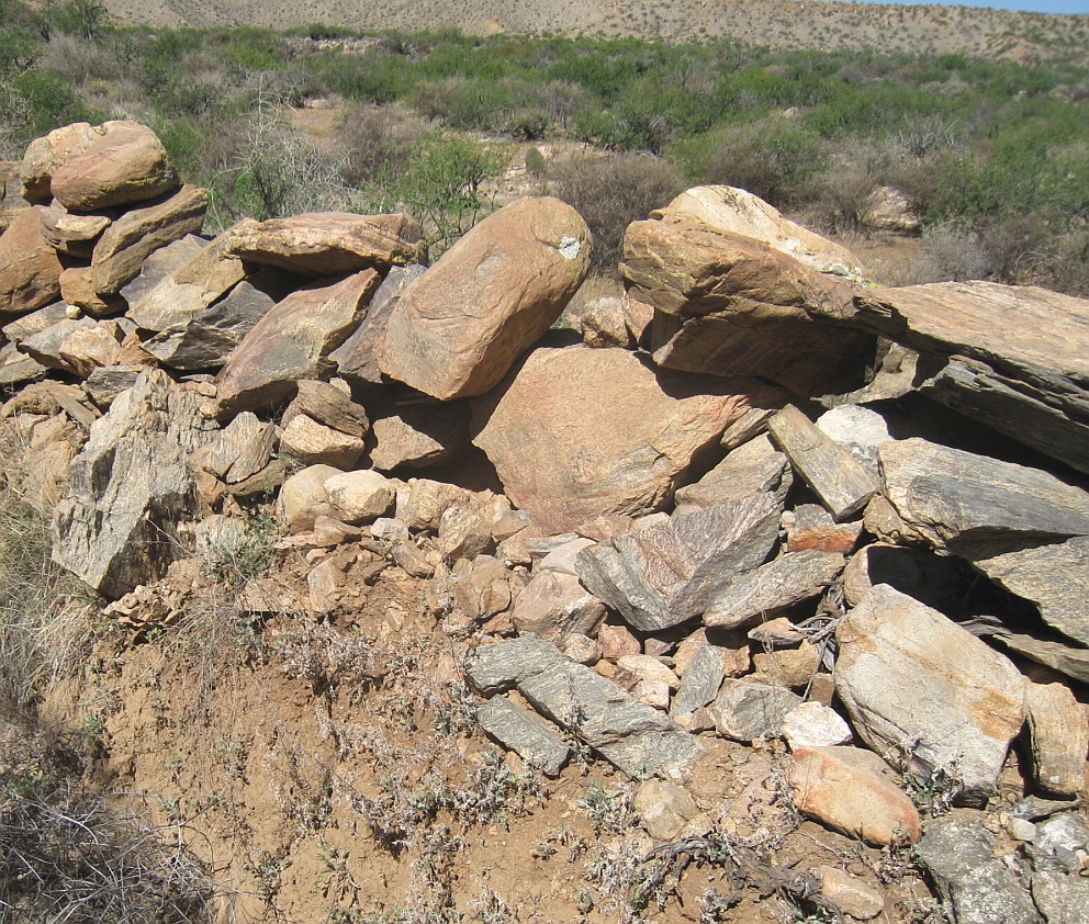
An apparently unique hallmark of the entire complex system is that the canals are often literally "hung" on the extremely difficult terrain of steep bajada mesa edges. In a clear attempt to make their routings and carefully controlled slopes fully independent of local typography!
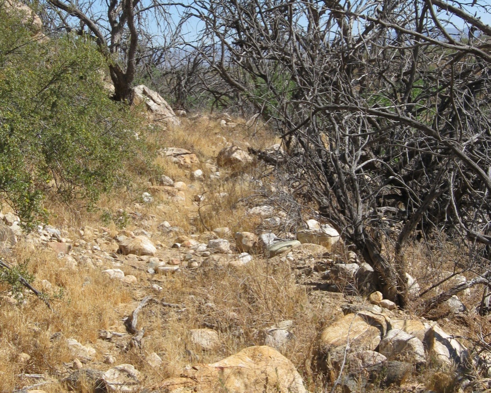
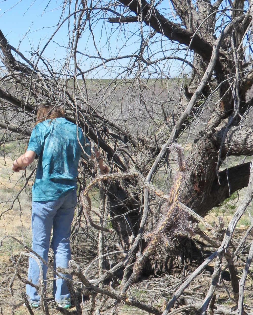
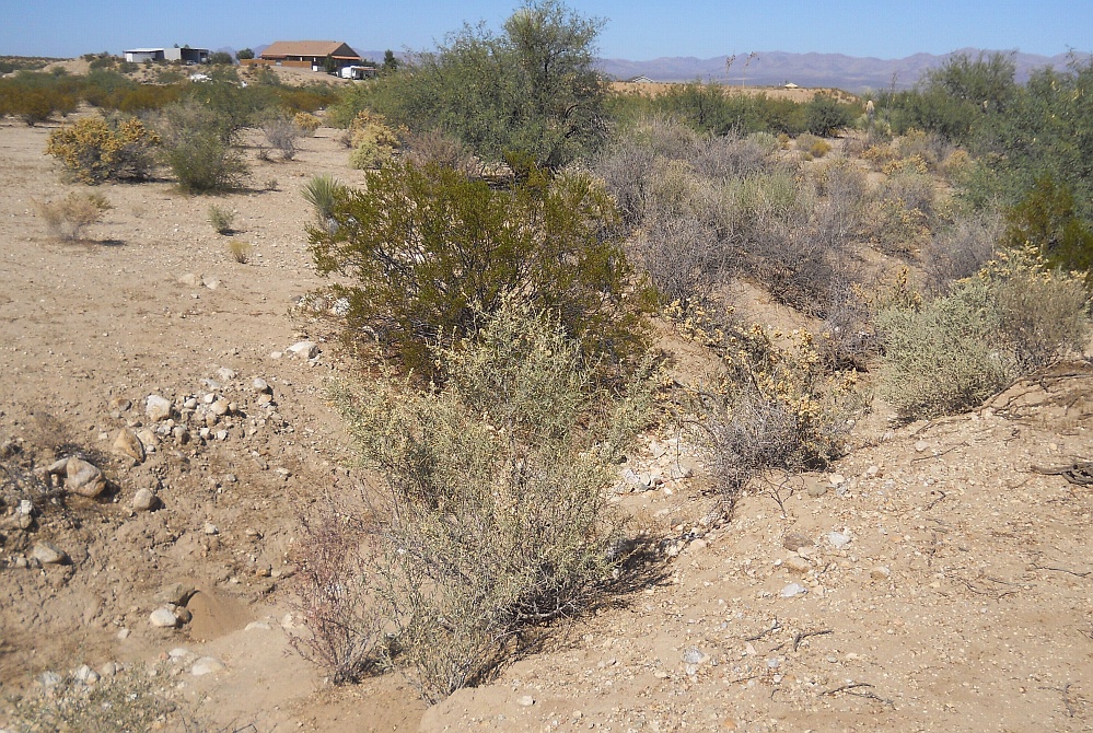
Land Ownership is primarily Bureau of Land Management, Arizona State Lands, Coronado National Forest, and some private inholdings. A few of the canals are severely endangered, but the vast majority simply remain woefully ununderstood and wildly unappreciated.
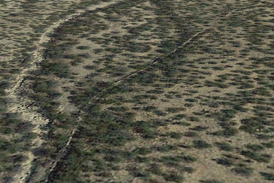
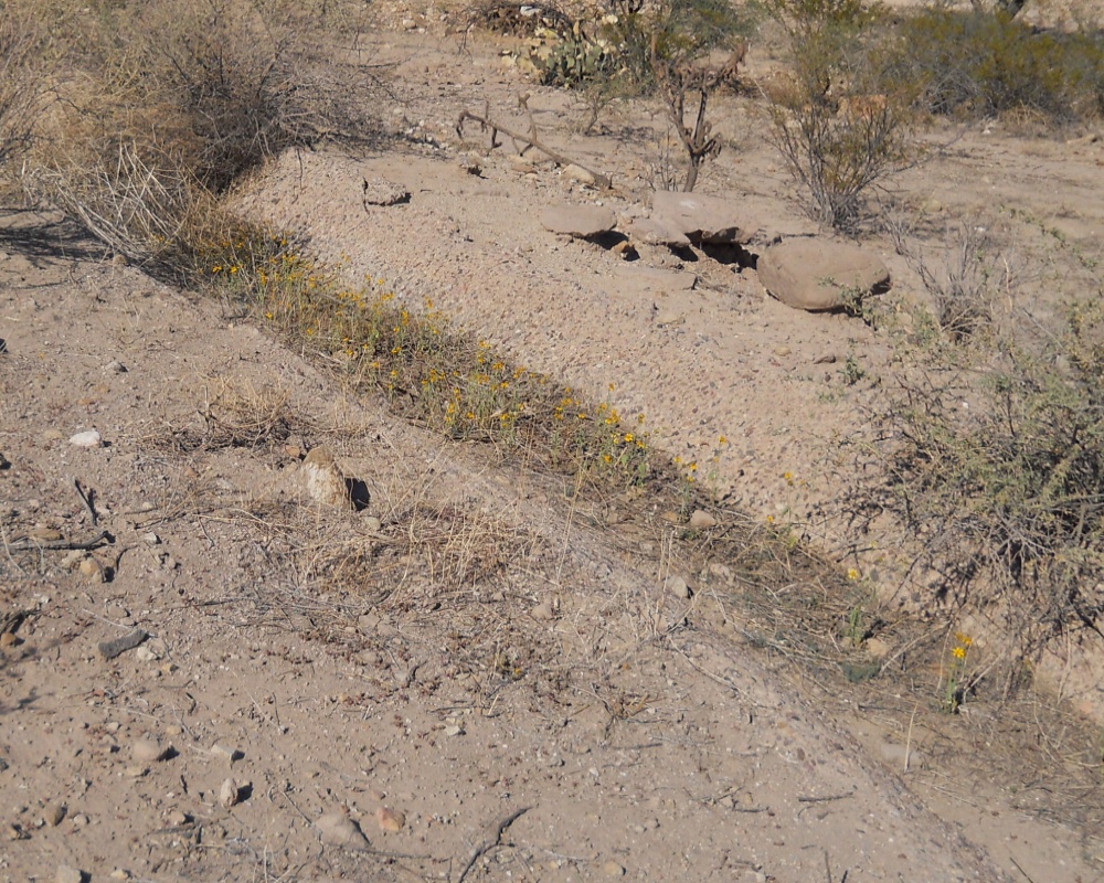
Over 110 canal study areas have already gotten identified, with a projected total length likely well in excess of 150 miles or 250 kilometers.
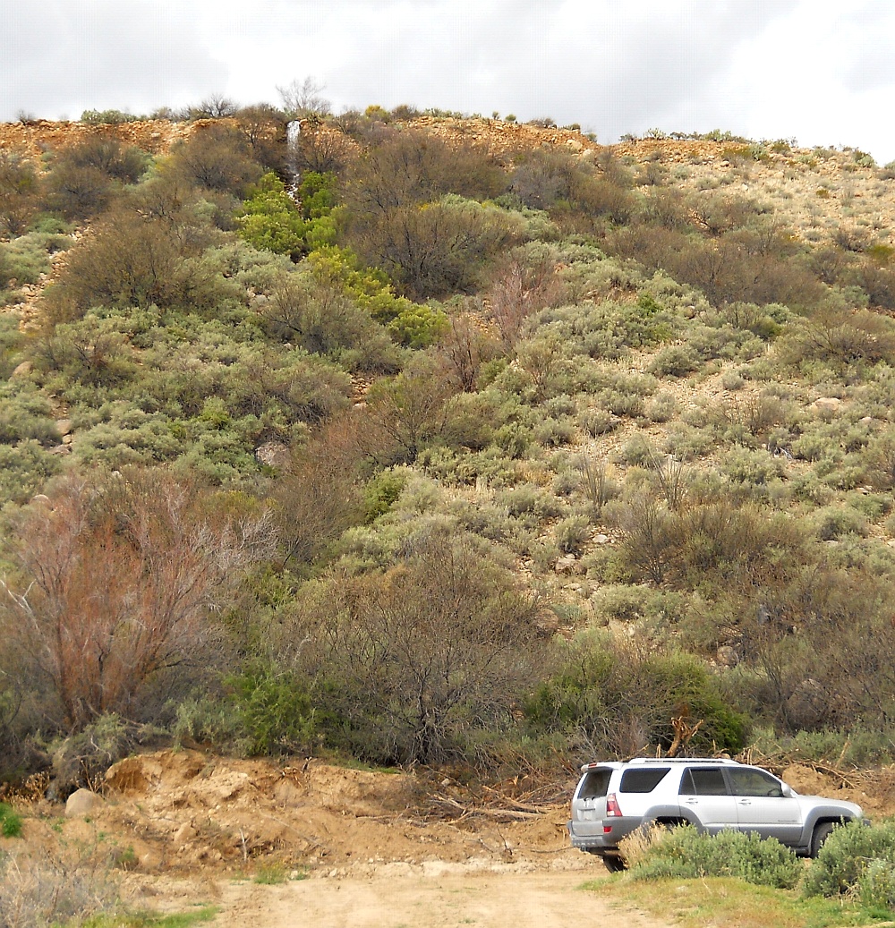
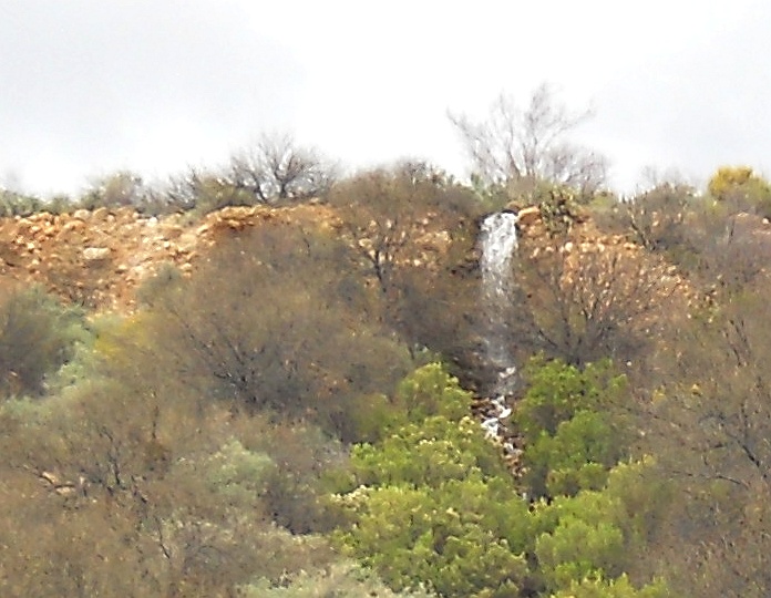
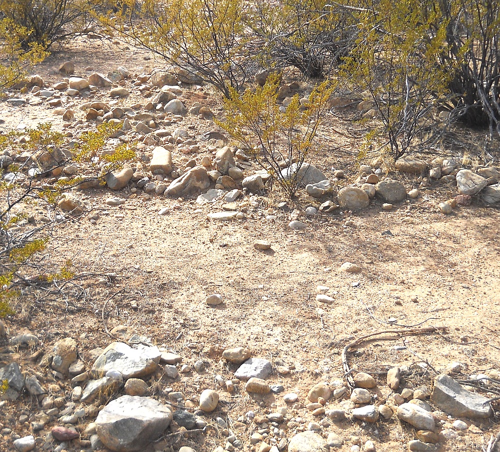
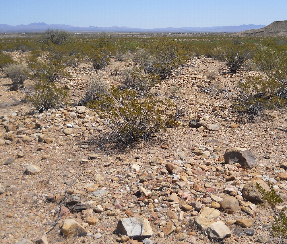
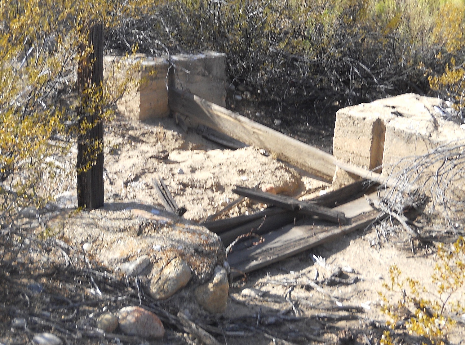
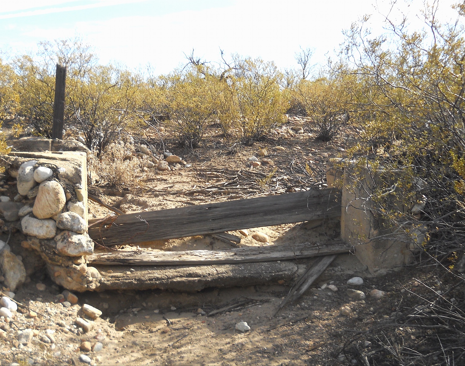
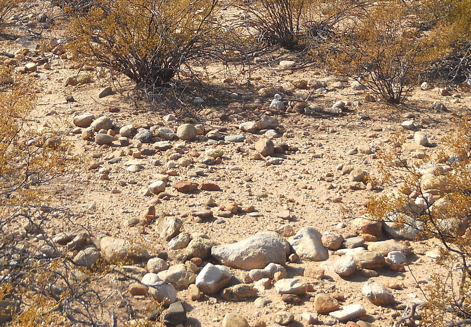
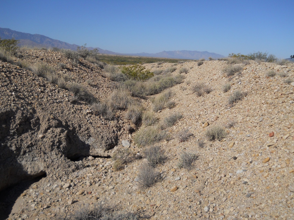
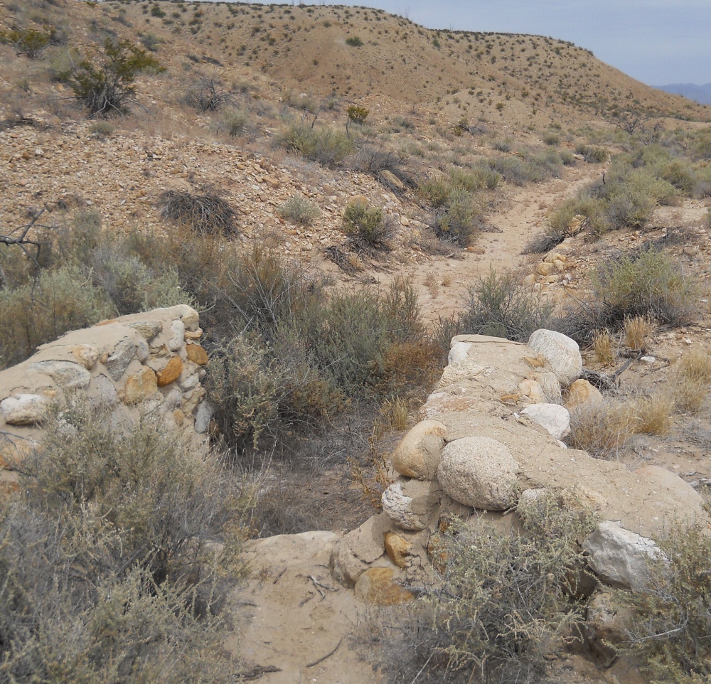
Preservation is often exceptional. It seems an attempt was made to exploit literally every drop of mountain stream water. Along with a few related artesian sources. Not including the usual Hohokam style riverine canals.
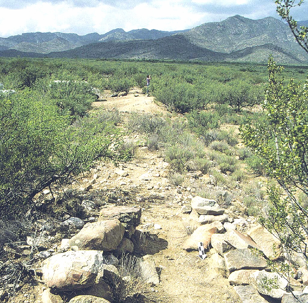
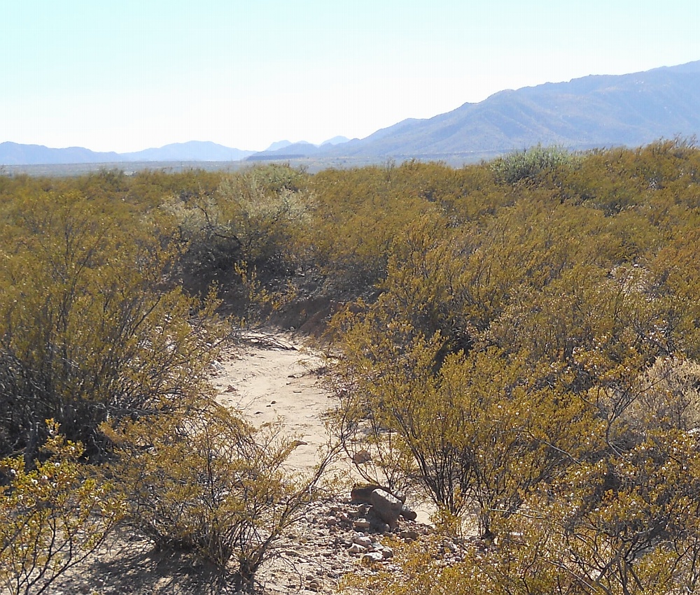
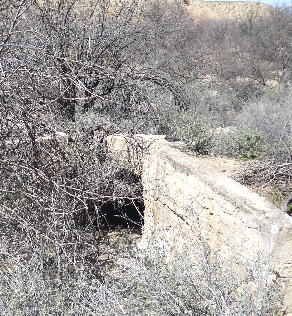
Amazingly, the system appears "complete" and free of any apparent mistakes or failures. Other involved examples of stunning engineering include a significant aqueduct, watershed crossings (!)), routings along the highest of available terrain, and "counterflowing" where canal slopes drop into rising terrain.
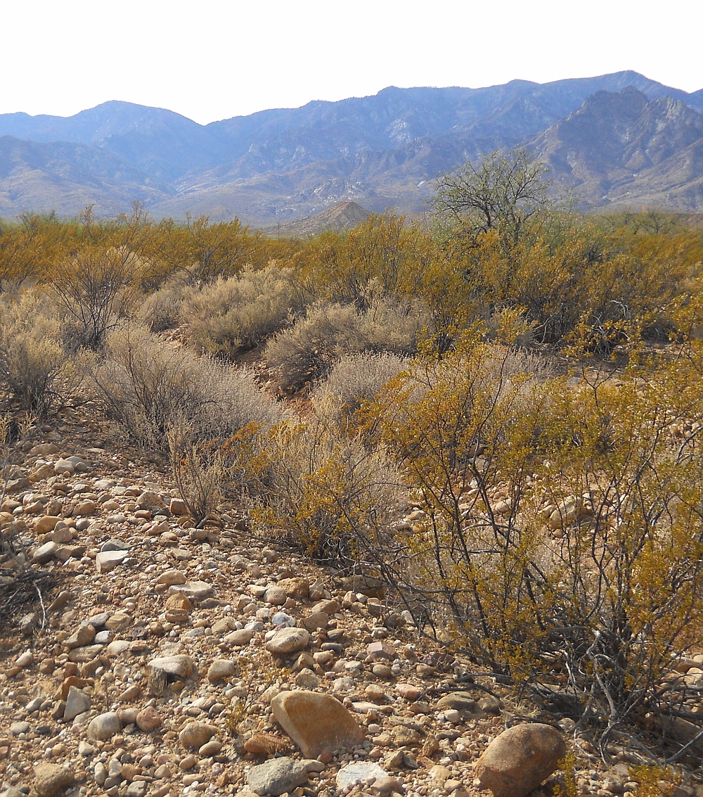
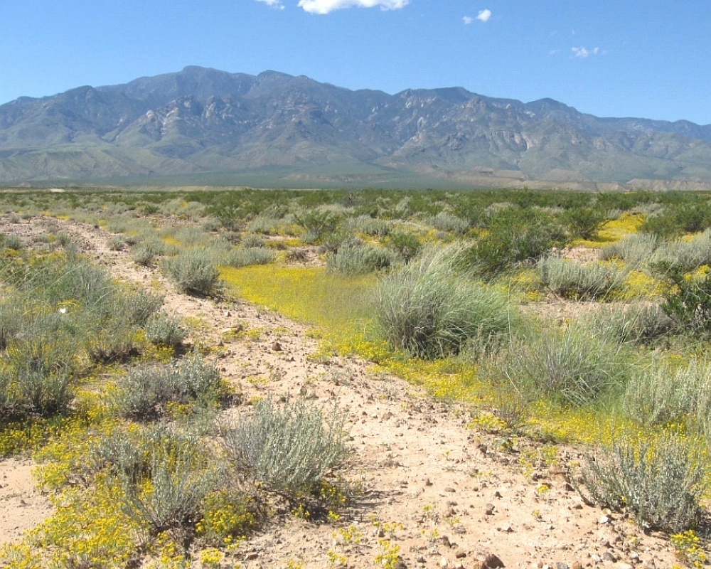
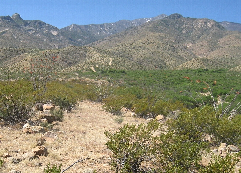
While the vast majority of canals favor the wetter northeast slopes, examples also literally surround Mount Graham. Which has the highest elevation differential of any Arizona range. Combined with an unusually high number of perennial streams.
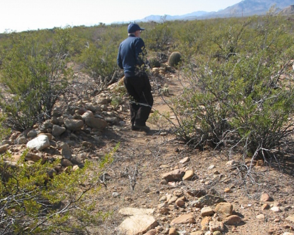
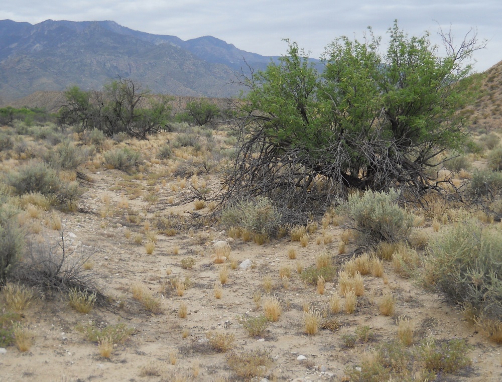
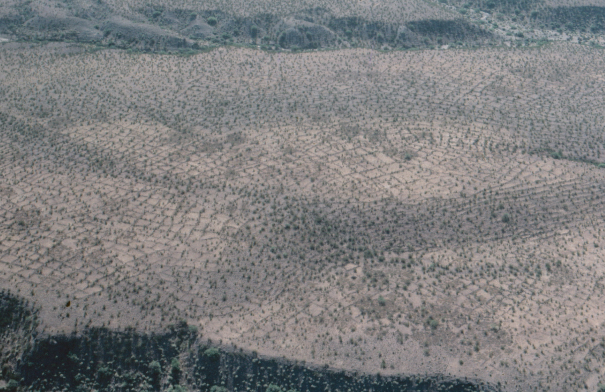
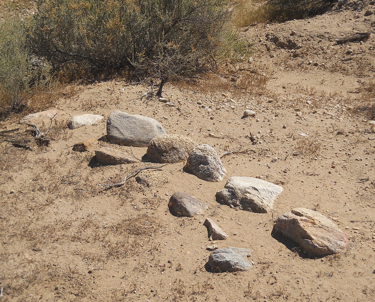
Other instances of separate area ag development include Hohokam style riverine canals, extensive gridded fields, mulch rings, field houses, rock alignments and aproned check dams.
| home | new | rss | eBay | xml | top | bot |
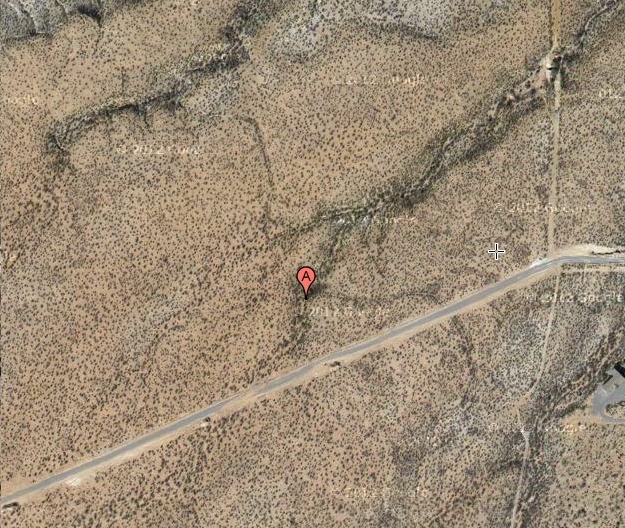
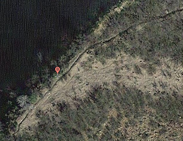
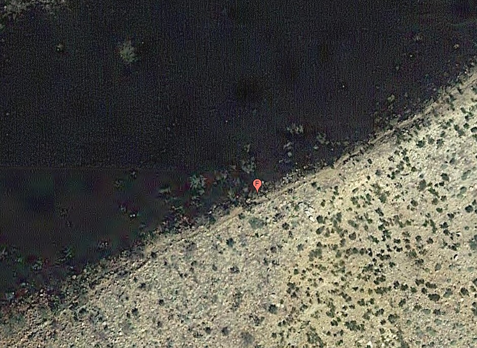
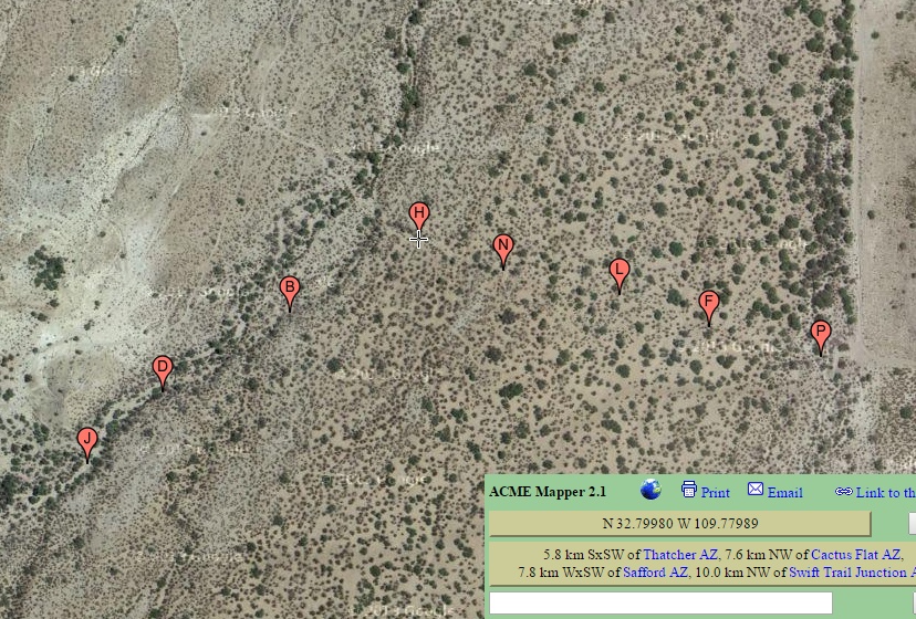
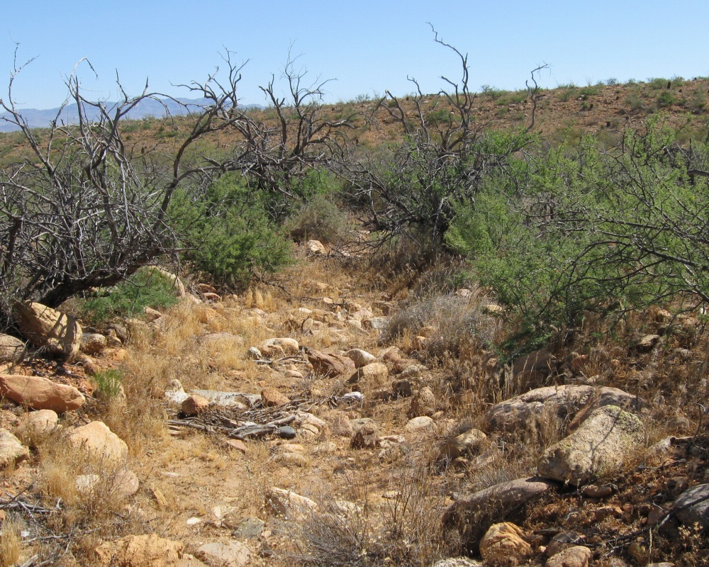
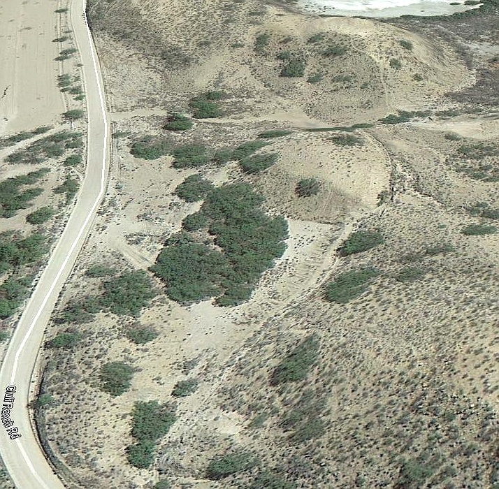
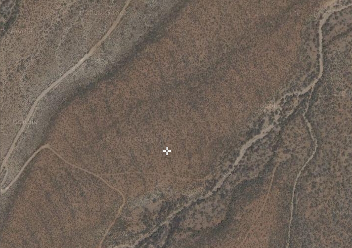
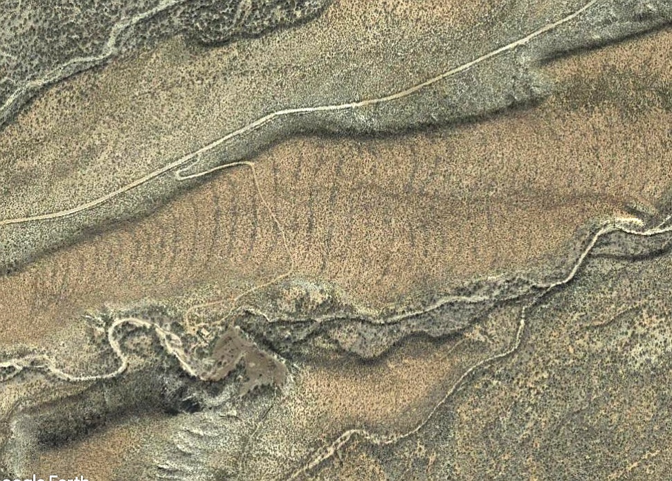
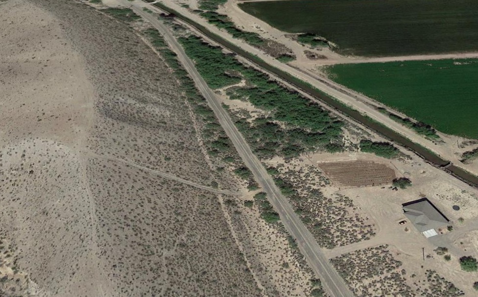
Acme Mapper and Zoom Earth and Google Earth have all proven enormously useful in our canal work. Sadly, satellite imagery resolution presently can only hint at the presence of a small fraction of the canals.
The prehistoric Bajada "hanging" canal study areas are listed here originally in roughly east to west order. A very few darkened "losers" do remain in this listing in order to divert future duplication. Many of the names were somewhat arbitrarily assigned.
top • menu • deeplink • next • bot • respond
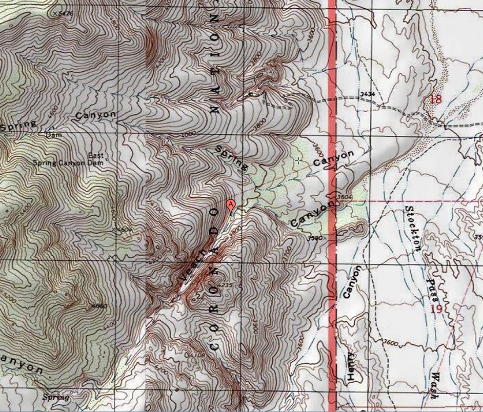
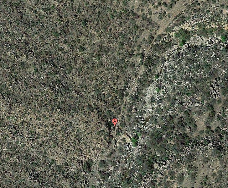
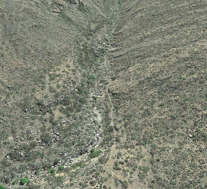
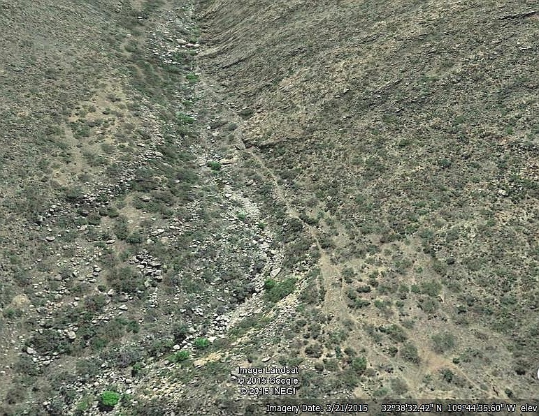
#1 Veech |
From middle Veech Canyon to some possible Several rock alignments nearby. Difficult foot Images: Veech1 Veech2 Veech3 Field Notes here. |
top • menu • prev • deeplink • next • bot • respond
|
#2 Goat Tank |
Jacobson Canyon to south edge of Ledford Partial access restricted private lands. Does Field Notes: none yet. |
top •
menu •
prev •
deeplink •
next •
bot •
respond
|
#3 Ledford Tank |
Jacobson Canyon to south edge of Ledford Field Notes: none yet. |
top • menu • prev • deeplink • next • bot • respond
| #4 Lower Jacobson |
Largely discredited. Aerial evidence became Images: not yet available. Field Notes: not yet available. |
top • menu • prev • deeplink • next • bot • respond
| #5 Upper Marijilda |
A group of small delivery canals near the main Images: Not yet available. Field Notes: Not yet available. |
top • menu • prev • deeplink • next • bot • respond
| #6 Marijilda Diversion Takein |
Major prehistoric development likely sourcing Still flowing in maintained modern use. Images: Not yet available. Field Notes: Not yet available |
top • menu • prev • deeplink • next • bot • respond
| #7 Marijilda Southern Feeders |
Short delivery and diversion canals south of Images: Not yet available. Field Notes: Not yet available |
top • menu • prev • deeplink • next • bot • respond
| #8 Marijilda Aqueduct |
Stunning aqueduct crosses a saddle to retain Images: aquad3.jpg. |
top • menu • prev • deeplink • next • bot • respond
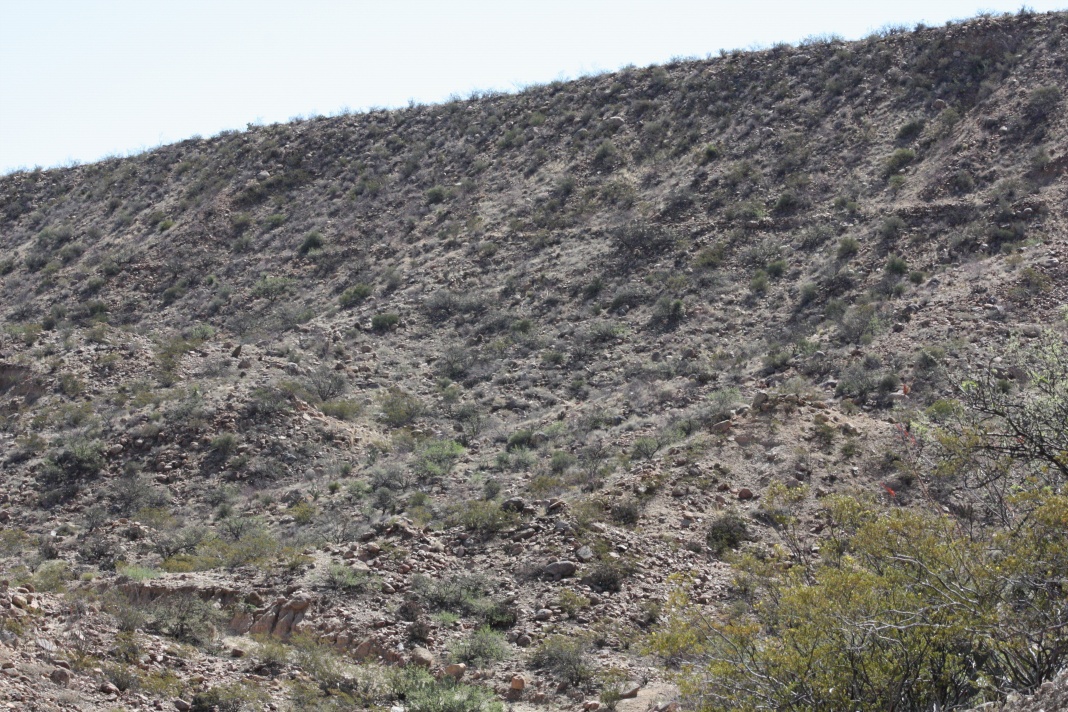
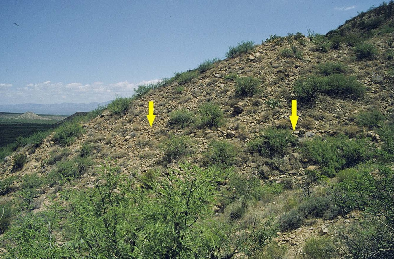
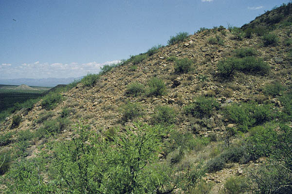
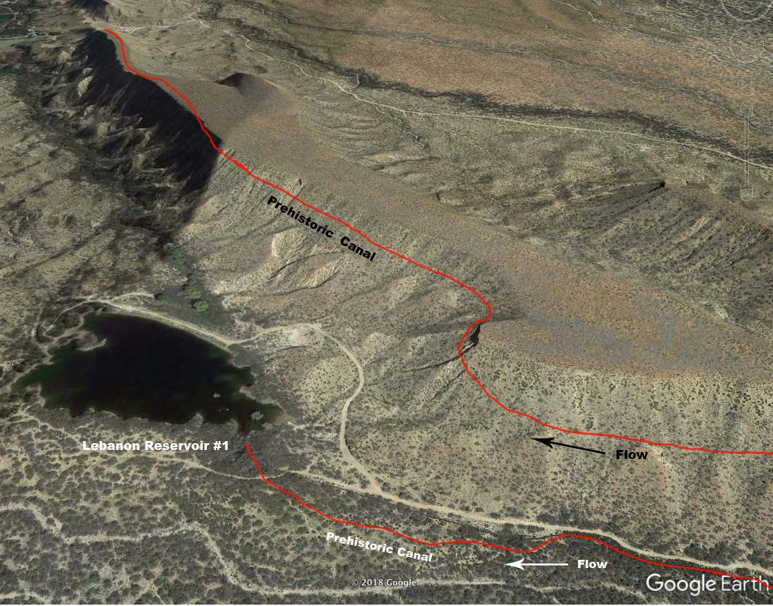
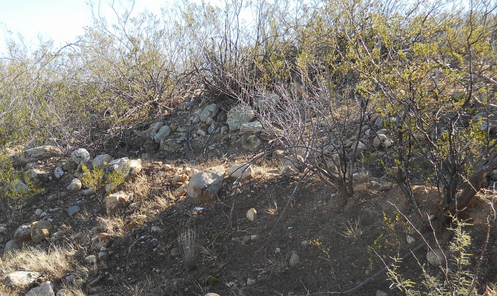
| #9 High Lebanon Hanging Canal |
|
Impressive hanging portion literally on the Images: hangcan1 highleb1 mary2 highleb Field Notes: Not yet available. |
top • menu • prev • deeplink • next • bot • respond
| #10 Six Pack Canal |
|
Branch of Marijilda south of access road that Images: none Field Notes: Not yet available. |
top • menu • prev • deeplink • next • bot • respond
| #11 Henry's Canal |
|
Southern branch of main Marijilda, portions Images:
henry1.jpg
henry9.jpg
henry10.jpg Field note in need of revision here. |
top • menu • prev • deeplink • next • bot • respond
| #12 Roper Lake Canal |
Possibly modern and dating from the 1950's Images: none Field Notes: none. |
top • menu • prev • deeplink • next • bot • respond
| #13 Rincon Canal |
|
Marijilda branch possibly becomes Twin West Images: none Field Notes: none |
top • menu • prev • deeplink • next • bot • respond
| #14 Tranquility Canal |
Artesian driven "urban" canal has the Cook Images: tranq1.jpg tranq2.jpg Field Notes: tranquility1fn.pdf |
top • menu • prev • deeplink • next • bot • respond
| #15 Discovery Park Canal |
Weak evidence of a possible feeder canal Images: None so far. Field Notes: None so far. |
top • menu • prev • deeplink • next • bot • respond
| #16 Twin B East Canal |
Routes UNDER the Lebanon Cemetery (!), Images: None so far. |
top • menu • prev • deeplink • next • bot • respond
| #17 Twin B West Canal |
|
Hanging canal is SECOND feeder to the tb Images: None so far. Field Notes: None so far. |
top •
menu •
prev •
deeplink •
next •
bot •
respond
| #18 Twin B Ponding |
Receives and redistributes Twine16 and Field note needing revision here. |
top • menu • prev • deeplink • next • bot • respond
| #19 Bear Flat Canal |
The Bear Flat canal is near Bear Springs Knoll. Images: none yet. Field Notes: part of Bear Springs. |
top • menu • prev • deeplink • next • bot • respond
| #20 Goat Hydroelectric? |
|
A steep and long historic pipeline following Images: none yet Field notes: none yet |
top • menu • prev • deeplink • next • bot • respond
| #21 Deadman West Canal |
|
Still flows in original channel for cattle tanks. Images: deadman3 deadman4 deadman5 Field notes: deadman1fn.pdf |
top • menu • prev • deeplink • next • bot • respond
| #22 Water Spreaders |
|
There are many thousands of these, the most Field notes: None at present |
top • menu • prev • deeplink • next • bot • respond
| #23 Bigler Canal |
|
The Bigler Canal likely includes remnant Images: none yet. Field Notes: part of Bear Springs |
top • menu • prev • deeplink • next • bot • respond
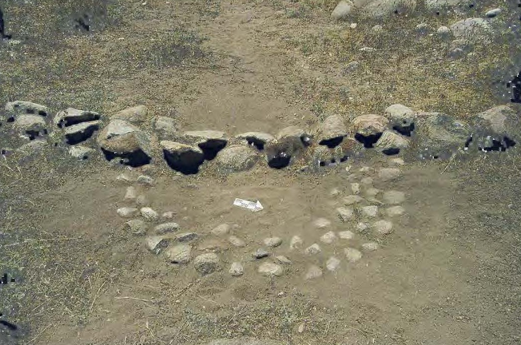
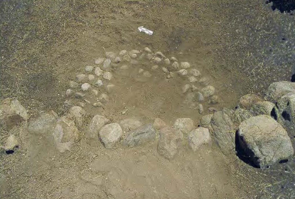
| #24 Mulch Ring Arrays |
|
Typically are 2 feet in diameter by 1 rock high Images: bluemulchrings.jpg Field notes: none yet. |
top • menu • prev • deeplink • next • bot • respond
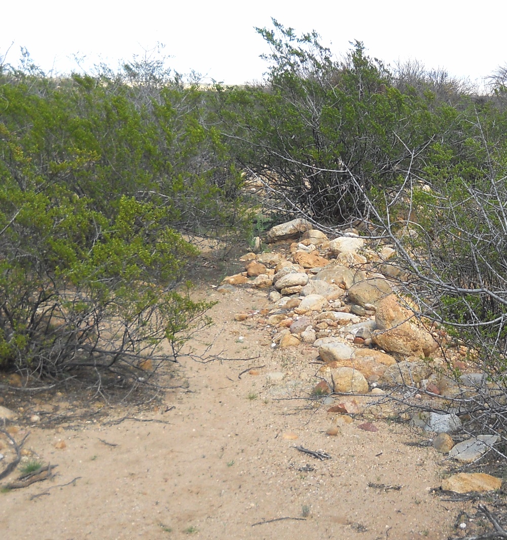
| #25 Apron Check Dams |
|
... plus many others. Rock diversions across Images: lefthandfig10.jpg Field notes: none yet. |
top • menu • prev • deeplink • next • bot • respond
| #26 Alberto's Signature |
Of the many thousands of conflicting CCC Images: none yet Field Notes: None yet |
top • menu • prev • deeplink • next • bot • respond
| #27 Long View Canal |
|
Obvious short wall on otherwise unsupported Images: None yet Field notes: longviewfn1.pdf |
top • menu • prev • deeplink • next • bot • respond
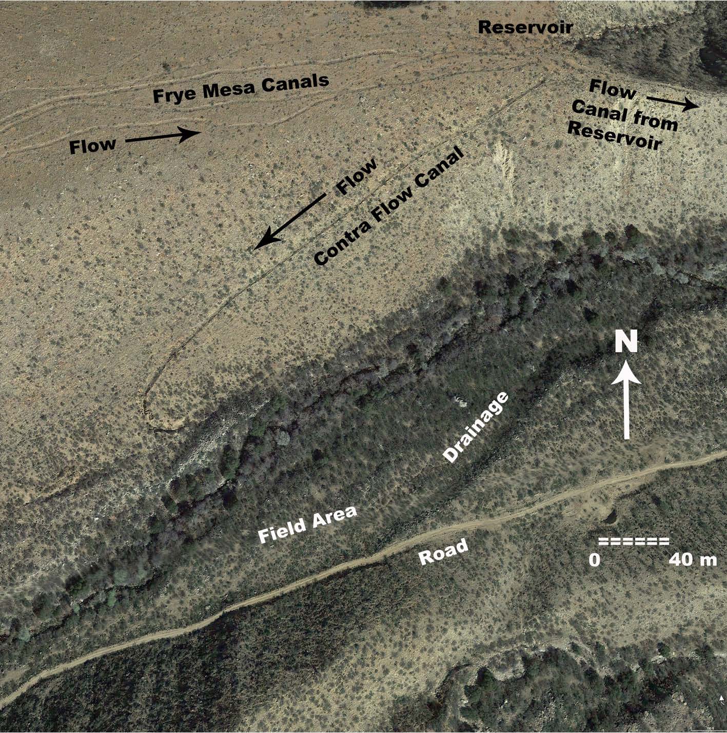
| #28 Upper Frye Watershed |
Unproven potentially spectacular watershed A significantly obvious watershed crossing Field notes: none yet |
top • menu • prev • deeplink • next • bot • respond
| #29 Middle Frye Delivery |
Partially undiscovered but demanded by Frye The simplest to explain would be an Upper Frye watershed #28 crossing that remains Images: none yet Field notes: fryecomplex1fn.pdf |
top • menu • prev • deeplink • next • bot • respond
| #30 Lower Frye Ponding Area |
|
Gathers some Frye Mesa braided channels Remaining unproven is the needed upper Images: none yet Field notes: fryecomplex1fn.pdf |
top • menu • prev • deeplink • next • bot • respond
| #31 HS Canal |
|
Superb hanging and counterflowing construct Among the three most major known constructs Images: hscan2.jpg Field notes: none yet |
top • menu • prev • deeplink • next • bot • respond
| #32 Early Freeman Canal |
|
This initial search for a Lower Frye to Blue Images: none yet: Field notes: none yet: |
top • menu • prev • deeplink • next • bot • respond
| #33 Blue Ponds Canal |
|
Shorter disused historic pond routing canal is Images: bluepond1.jpg bluepond2.jpg bluepond3.jpg bluepond4.jpg bluepond5.jpg Field notes: none yet: |
top • menu • prev • deeplink • next • bot • respond
| #34 Riggs Mesa Braided Channels |
|
Rather enigmatic channels might end up a Images: none yet Field notes: none yet |
top • menu • prev • deeplink • next • bot • respond
| #35 Golf Course Canal |
|
This major prehistoric canal serviced the Images: golf1map gc1 gc2 golf3 Field Notes: none yet. |
top • menu • prev • deeplink • next • bot • respond
| #36 Twin Artesian Ponds |
|
No obvious links to the nearby Golf Course Images: none yet Field notes: none yet: |
top • menu • prev • deeplink • next • bot • respond
| #37 Robinson Ranch Canal |
|
A major hanging canal with a very strong Field notes here. |
top • menu • prev • deeplink • next • bot • respond
| #38 Allen Canal |
|
This large prehistoric canal possibly includes Images: allen0 allen1 culebra1 culebra2 Field Notes :Earlier field notes here. |
top • menu • prev • deeplink • next • bot • respond
| #39 Allen Dam Failure |
|
Back in its water skiing (!) days, this might Failure analysis GuruGram here. More GuruGrams here. |
top • menu • prev • deeplink • next • bot • respond
| #40 Culebra Cut |
|
Spectacularly large cut in the Allen Canal Images: culebra1.jpg culebra2.jpg |
top • menu • prev • deeplink • next • bot • respond
| #41 Ash Creek Feeder |
The source for Mud Springs canal via proven Images: none yet. Earlier Mud Springs field note here. |
top • menu • prev • deeplink • next • bot • respond
| #42 Mud Springs Canal |
Long canal system branches to Jernigan, and Plus a troll house and historic tank. Unknown Destination Possibly a prototype original as it Earlier Mud Spring field note here. |
top • menu • prev • deeplink • next • bot • respond
| #43 The Troll House |
|
A strange and enigmatic pithouse-like Mud This is the only known example of this type, Images: troll1.jpg Earlier Mud Springs field note here. : |
top • menu • prev • deeplink • next • bot • respond
| #44 Mud Jernigan Branching |
|
Apparent location of the beginning of the Images: mudjern1.jpg Earlier Mud Springs field note here. |
top • menu • prev • deeplink • next • bot • respond
| #45 Mud Springs Tank |
|
An apparently historic construct would seem A second similar tank does not appear to be Images: none yet. Earlier Mud Springs field note here. |
top • menu • prev • deeplink • next • bot • respond
| #46 Jernigan Canal |
|
One of few canals that have an obvious Images:
jern1.jpg
jern20.jpg
jern21.jpg. Older field note here. |
top • menu • prev • deeplink • next • bot • respond
| #47 Lower Mud |
|
Aerial canal-like images appear to be field Images None. Field Notes: None. |
top • menu • prev • deeplink • next • bot • respond
| #48 Smith Tank Canal |
Likely has still unproven prehistoric original. Images:
smith1
smith2
smith3 Field notes here. |
top • menu • prev • deeplink • next • bot • respond
| #49 Cluff Southwest Canal |
|
Branches from the historic Smith Canal takein Images: none yet. Field notes: none yet |
top • menu • prev • deeplink • next • bot • respond
| #50 Cluff Northwest Canal |
|
Strongly historically developed canal system Images:
cluffnw1.jpg
cluffnw2.jpg Field notes: cluffnw1fn.pdf |
top • menu • prev • deeplink • next • bot • respond
| #51 Minor Webster Ditch |
|
Historically redeveloped canal shows strong Older field notes: minorditch1fn.pdf. |
top • menu • prev • deeplink • next • bot • respond
| #52 Tugood Canal |
|
Most impressively pristine of the known Older field note: tugoodcan1fn.pdf. |
top • menu • prev • deeplink • next • bot • respond
| #53 Main Lefthand Complex |
|
Shorter canal segments primarily for end use. Images:
lefthandfig4
lefthandfig7 Paper: lefthand.pdf |
top • menu • prev • deeplink • next • bot • respond
| #54 Lefthand West Canal |
Prehistoric original adapted for historic field Images: left1.jpg Older Field Note: lefthcan1fn.pdf |
top • menu • prev • deeplink • next • bot • respond
| #55 North Lefthand Canal |
|
Yet to be verified aerial image. Access limited. Images: None yet. Field Notes: None yet. |
top • menu • prev • deeplink • next • bot • respond
| #56 Lamb Tank Canal |
|
Difficult access. Additional study required. Images: None yet. Field Notes:: None yet. |
top • menu • prev • deeplink • next • bot • respond
| #57 Mystery Reach |
|
Once convincing aerial evidence field verified Images: None yet. Field Notes: None yet. |
top • menu • prev • deeplink • next • bot • respond
| #58 Sand Canal East |
Ideal short tour prospect has nearly everything Mysterious historic "cluttering" with random Images:
sand1.jpg
sand4.jpg
sand5.jpg Earlier Field Notes: here. |
top • menu • prev • deeplink • next • bot • respond
| #59 Nuttall Watershed |
Postulated fourth watershed crossing may add Newer Sand Canal takein discoveries render Images: None yet. Field Notes: None yet. |
top • menu • prev • "deeplink • next • bot • respond
| #60 Bear Springs Canal |
|
Apparent scam huge historic canal from a Images: bearsprtopo60.jpg. Field Notes: bearspcn1fn.pdf. |
top • menu • prev • deeplink • next • bot • respond
| #61 The Grids |
Apparently independent of the hanging canals. Images: bestgrid.jpg. Definitive text here. |
top • menu • prev • deeplink • next • bot • respond
| #62 Klondyke Bandelier |
One early mention of area prehistoric canals There is also an artesian lake derived canal |
top • menu • prev • deeplink • next • bot • respond
| #63 UFO Fish Fillets |
Highly unusual water spreaders are more Images ufooff.jpg ufofish1.jpg Field Notes: none yet. |
top • menu • prev • deeplink • next • bot • respond
| #64 P Ranch Canal |
A portion of this mostly unverified aerial Images: None yet. Field Notes: None yet. |
top • menu • prev • deeplink • next • bot • respond
| #65 Spear Ranch Work |
|
Unchecked lead due to access restrictions Images: none yet. Field Note: none yet. |
top • menu • prev • deeplink • next • bot • respond
| #66 Sand Canal West |
|
Destinations of easily traced canal third Images: sand40.jpg Previous Field Note here. |
top • menu • prev • deeplink • next • bot • respond
| #67 Sand Center Canal |
The Sand Canal splits into three pieces, none Images: None yet. Field Notes: None yet |
top • menu • prev • deeplink • next • bot • respond
| #68 Deadman East Canal |
|
Spectacular knife edging along sequential Images: None Yet. Field Notes: None Yet |
top • menu • prev • deeplink • next • bot • respond
| #69 Taylor Canal |
Adjacent to the UFO Fish Fillets. This is Images: ufo2.jpg. Field Notes: none yet |
top • menu • prev • deeplink • next • bot • respond
| #70 Lower Frye Construct |
|
Presumed to be a crucial part of the HS canal, Extensive study needed. Significant hanging Images:
frye100.jpg Field Notes: here |
top • menu • prev • deeplink • next • bot • respond
| #71 Klondyke Canal |
Dried up artesian lake may have had some Field Notes: none yet.: |
top • menu • prev • deeplink • next • bot • respond
| #72 Canal Near the UFO Fillets |
|
Short canal previously studied by Dr. Neely. Images: none yet. Field Notes: none yet. |
top • menu • prev • deeplink • next • bot • respond
| #73 Hog Canyon Canal |
Still unexplored aerial hint might be the south Images: None yet Field Notes: None yet |
top • menu • prev • deeplink • next • bot • respond
| #74 Grant Creek Canal |
|
South of Mount Graham historic canal may Images: None yet. Field Notes: None yet. |
top • menu • prev • deeplink • next • bot • respond
| #75 Lower Frye Extension |
|
Required but yet unfound link between Frye Complex, Blue Ponds Canal, and the Freeman Canal. One hint of a possible location can be found here. Images: none to date. Field notes: none to date |
top • menu • prev • deeplink • next • bot • respond
| #76 Tailwater Canal |
|
Downgraded - likely historic orchard overflow. Images: none yet. Field Notes: none yet |
top • menu • prev • deeplink • next • bot • respond
| #77 Artesian Canal One |
|
Flowing historic canal in strong artesian area Images: artes1b Field Notes: none yet. |
top • menu • prev • deeplink • next • bot • respond
| #78 Artesian Canal Two |
|
Flowing historic canal in strong artesian area Images: None yet Field Notes: None yet |
top • menu • prev • deeplink • next • bot • respond
| #79 Lopez Area |
Possible aerial images verified as bulldozer Images: None yet. Field Notes: None yet |
top • menu • prev • deeplink • next • bot • respond
| #80 Reay Canal |
|
The Reay Canal appears endangered as it is This is a credible but still unproven destination Images: reay2a.jpg reay3.jpg reay5.jpg. Field Notes: reaycan1fn.pdf. |
top • menu • prev • deeplink • next • bot • respond
| #81 Mid Lebanon |
A modern canal that might be overlaying the Images: none yet. Field Notes: none yet. |
top • menu • prev • deeplink • next • bot • respond
| #82 Lower Rincon |
|
A credible feeder to unproven Discovery Park Images: none yet. Field Notes: none yet. |
top • menu • prev • deeplink • next • bot • respond
| #83 Deep Vee Mystery |
|
Possibly associated with Reay Canal. A rather Images: None yet. Field Notes: none yet. |
top • menu • prev • deeplink • next • bot • respond
| #84 Spare |
top • menu • prev • deeplink • next • bot • respond
| #85 Thunderbird Rework |
|
A branch of the Thunderbird Canal fork of Images: None yet. Field Notes: None yet |
top • menu • prev • deeplink • next • bot • respond
| #86 Integrated Supercanal |
A credible but still unproven multi source, All merged into one single managed entity Images: See other entries. Field Notes: See other entries. |
top • menu • prev • deeplink • next • bot • respond
| #87 Cottontail Artesian |
|
An artesian sourced canal still flowing in Images: None yet. Field Notes: none yet. |
top • menu • prev • deeplink • next • bot • respond
| #88 Lower Frye Pipeline |
|
Possibly overlies a yet undiscovered part Images: None yet. Earlier Field Notes here. |
top • menu • prev • deeplink • next • bot • respond
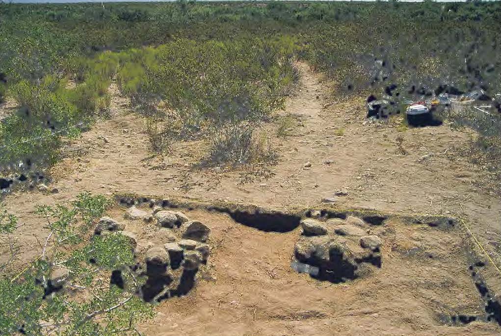
| #89 Stone Work |
|
An isolated, mid-sized southern rectangular Images: None Yet Field Notes: None Yet |
top • menu • prev • deeplink • next • bot • respond
| #90 San Jose Riverine |
|
An obvious riverine canal of larger size and Images: sanjr1.jpg, sanjo2.jpg, Field notes: none to date. |
top • menu • prev • deeplink • next • bot • respond
| #91 New Jernigan Finds |
|
South Find: N 32.82977 W 109.81864 to
Newly discovered portions of the Jernigan Images:
jern1.jpg
jern20.jpg
jern21.jpg. Older field note here. |
top • menu • prev • deeplink • next • bot • respond
| #92 Freeman Fields |
|
Mid-route prehistoric use fields associated Images: bluepond5.jpg. Temporary field note: here. |
top • menu • prev • deeplink • next • bot • respond
| #93 Tripp Canyon |
|
Westernmost of the known canals. Begins in Images: None yet. Field Notes:: None Yet. |
top • menu • prev • deeplink • next • bot • respond
| #94 Levada Hanging Canals |
|
Known examples of any world class hanging Some obvious 14th century historic examples Images: levita.jpg Field notes: not yet available. |
top • menu • prev • deeplink • next • bot • respond
| #95 Sunny Flat Canal |
|
One of the very few local historic canals that Only lasted three years in the 1920's. But Images: sunnycantun.jpg Field notes: not yet available. |
top • menu • prev • deeplink • next • bot • respond
| #96 Aravaipa Canals? |
|
There are many cultural resources in the One reasonable question to ask might be Images: none. |
top • menu • prev • deeplink • next • bot • respond
| #97 Main Jennings |
|
Obviously trashed modern rebuild of an Images: jenn1 jenn2 jenn3 jenn4. Field Notes: Not yet.
|
top • menu • prev • deeplink • next • bot • respond
| #98 Jennings Leads |
|
Acme Mapper reveals a pair of possible Images: None yet. Field Notes: None yet. |
top • menu • prev • deeplink • next • bot • respond
| #99 Jennings West |
|
Area residents report a second hanging Images: None yet. Field Notes:: None yet |
top • menu • prev • deeplink • next • bot • respond
| #100 Jennings Hint |
|
Area residents report a short canal that is Images: None yet. Field Notes: None yet. |
top • menu • prev • deeplink • next • bot • respond
| #101 Smith Canal Extension |
|
There are tantalizing hints of an extension Images: None Yet Field Notes: None Yet |
top • menu • prev • deeplink • next • bot • respond
| #102 Henry Fields |
|
Well preserved and major field destination for Images: None yet. Field Notes: None yet. |
top • menu • prev • deeplink • next • bot • respond
| #103 Discovery Park Destination |
If the Discovery Park Canal turns out to be Images: None yet. Field Notes: None yet. |
top • menu • prev • deeplink • next • bot • respond
| #104 Short Rincon Canal? |
|
Short canal segment seems temporarily "lost" Images: None Yet. Field Notes: None yet. |
top • menu • prev • deeplink • next • bot • respond
| #105 Mid Smith Canal |
|
If the Smith Canal extension to the Central Evidence remains unverified to date. Images: None yet. Field Notes: None yet. |
top • menu • prev • deeplink • next • bot • respond
| #106 Twin East Feed |
|
One of two canals feeding the twin B ponding Images: None yet.. Field Notes: None Yet |
top • menu • prev • deeplink • next • bot • respond
| #107 East Central Dump |
A mix of intriguing but short east and west Images: None Yet |
top • menu • prev • deeplink • next • bot • respond
#108 Quail |
|
Artesian historic canal seems to be abandoned Images: None yet. Field Notes: None yet. |
top • menu • prev • deeplink • next • bot • respond
| #109 Tripp Canal Extension |
|
The Tripp Canal is easily traced along the Images: None yet.: Field Notes: None yet, |
top • menu • prev • deeplink • next • bot • respond
| #110 West Central Dump |
|
A second and parallel (?) hint of the Smith Some decorative pot sherds are rarely Images: None yet Field Notes: None yet |
top • menu • prev • deeplink • next • bot • respond
| #111 Layton Canal |
A few dozen isolated feet of "it sure looks Known Jernigan and possible Smith Canyon Images: None yet. Field Notes: None yet |
top • menu • prev • deeplink • bot • respond
| #112 Rock Wall Grouping |
|
A group of a dozen Southern dry farming Images: None yet. Field Notes: None yet. |
Our present bajada hanging canal docs appear on Researchgate, on our website, and elsewhere. This above list is currently only preliminary and woefully incomplete. Availability of new field notes are often announced here.
Many dozens of these canal field notes still remain pending or else sorely in need of major updates. Your help requested.
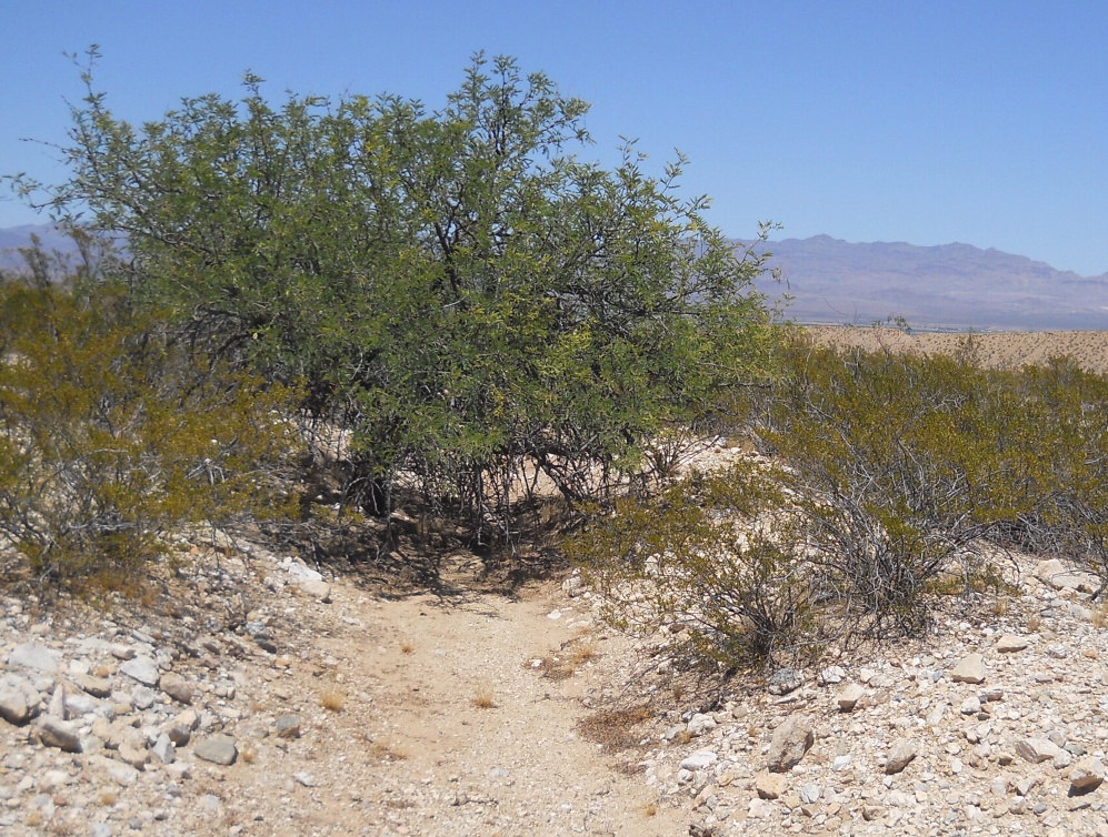
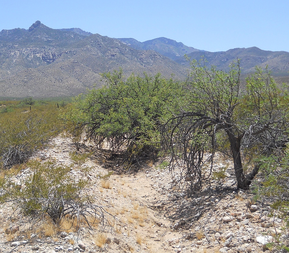
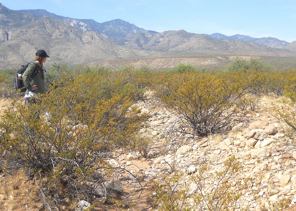
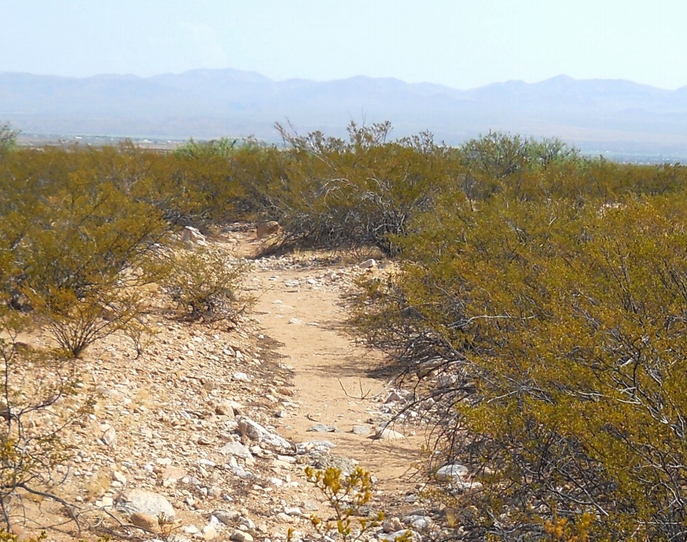
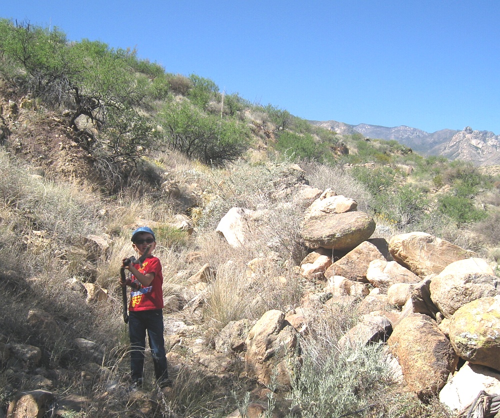
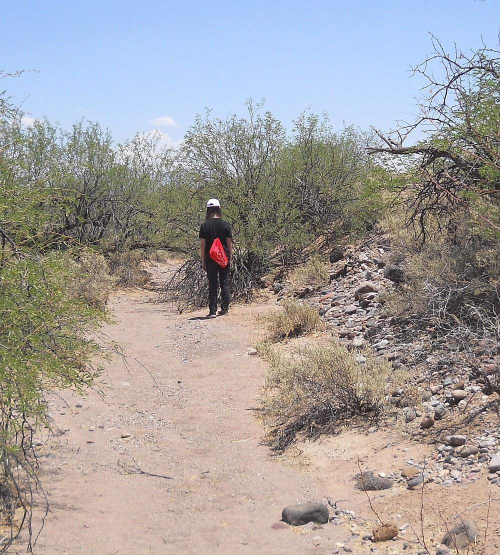
Prime Photo Gallery
deeplink • top • bot • respond
You can click expand these for more detail.
The complete image gallery can be found here.
Discovery Timeline
deeplink • top • bot • respond
Many of our bajada hanging canal discoveries first appeared in our timeline of ongoing yearly blogs....
be found here. And is authored here.
Your Involvement
deeplink • top • bot • respond
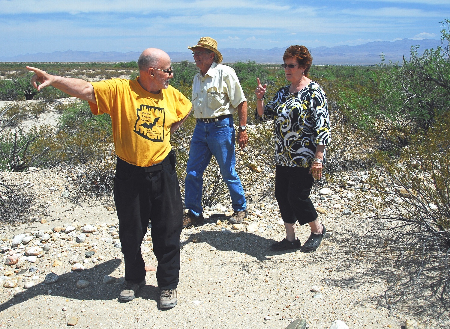
You are invited to participate in this new world class bajada hanging canal research. Specific needs are for GPS literate gonzo hikers and ATV enthusiasts, live video drone operators, and a KML specialist. And perhaps a sedimentologist or climatologist or hydrologist or nearly any other utterly arcane specialist. Plus, of course, cash in small bills.
You are welcome to support us by participating in our eBay offerings
Ongoing current goals are to improve and complete the field notes, produce one or more additional videos, dramatically update and upgrade "flyable" mapping, and convince "them" to set up significant ongoing field schools. Or simply to pick up new hiking partners. Or individuals we can mentor. Please send results to don@tinaja.com. More details on some of these here or via email.
| We Need Your Help On These Projects deeplink • top • bot • respond | |
|
Allen Off Mesa 32.82088 -109.80470 |
Allen Destination 32.83309 -109.80482 |
|
Ash Creek Source 32.78602 -109.85499 |
Deadman East 32.75574 -109.77915 |
| Discovery Park
32.78602 -109.85499 |
Frye Middle
32.75075 -109.83780 |
| Frye Pipeline 32.76889 -109.79317 |
Frye Watershed 32.74526 -109.83888 |
| Golf Course Mid 32.80432 -109.77849 |
Grant Creek 32.59249 -109.96686 |
| Henry's Source 32.73713 -109.74231 |
Hog Canyon 32.59323 -109.95044 |
| Jernigan Gaps 32.84140 -109.81260 |
Lamb Tank Canal 32.81368 -109.92292 |
| Middle Freeman 32.76971 -109.79022 |
Minor Webster 32.80758 -109.86857 |
| Mud Springs Gap 32.79170 -109.85312 |
Mud Springs Dest 32.84785 -109.81104 |
| Spear Ranch Area 32.83613 -109.91437 |
Stockton Wash 32.61429 -109.72799 |
| Taylor Canyon 32.81620 -109.97316 |
Tripp Canyon 32.81133 -110.04680 |
| Tugood North 32.82087 -109.86675 |
Tugood South 32.80923 -109.87116 |
| Veech Canyon 32.64279 -109.74278 |
--- |
The above bajada hike projects could greatly assist the world class research on our hanging canals. Typical total and return lengths are one to three miles, often in very difficult or brushy terrain. Needed are field verification, drone work, photos, and GPS.
Arizona Pinstriping on your vehicle is a must.