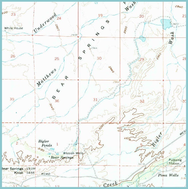
#HC020 bearsprtopo60.jpg image access Older 1960 topo map of Bear Springs Canal area.
"North=up" near N 32.87436 W 109.91823The Bear Springs historic canal appears to have been
abandoned and has vanished from modern topo maps
such as HC018. Shown here is a cropped portion of
historic 1960 topo HC009 where the canal route and
its destination ponds and possible prehistoric fields
are clearly shown.
The nearest dirt road is N 32.85363 W 109.93750.
Click to expand the image.
Possible field notes here.