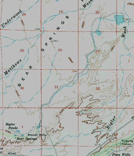
#HC009 AZ_Thatcher...jpg image access 1960 version of USGS Thatcher AZ Topo Map.
One area of interest: N 32.88943 W 109.91175The apparently historic Bear Flat Canal vanished with few
traces some time after this 1960 USGS Safford Basin topo
map. This seemed hugely oversized and may have been some
sort of real estate scam. The underlying artesian source was
unlikely to have been prehistorically ignored. Find some
field notes here.One dirt road access is N 32.75700 W 109.71779.
Click to expand the image.
