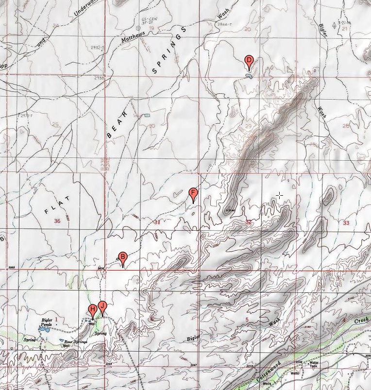
#HC018 bearsprings_topo.jpg access Topo of the Bear Springs historical canal area.
Viewed "north=up" near N 32.87436 W 109.91823.This modern topo map no longer shows the route of the
historic Bear Springs Canal as it apparently has been long
abandoned. See HC009 for a 1960 historic topo map which clearly shows this canal route in blue. The end tanks are
suggestive of a possible prehistoric destination.
The nearest dirt road is N 32.85363 W 109.93750.
Click to expand the image.
Possible field notes here.