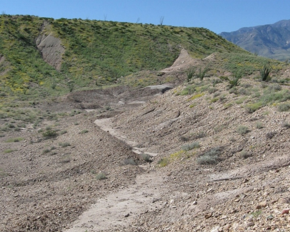
#HC001 allen1.jpg image access Allen Canal between the Dam and the Cuelebra Cut.
Viewed south near N 32.83511 W 109.79795
Portions of the Allen Canal show a white "calichieness" that
is rare but otherwise can be found in similar terrain on the
Mud Springs Canal. Hanging portion is only a few feet
above the base watershed. Minor modern damage is
apparent. Allen Dam failure docs can be found here.The nearest 4WD track is N 32.83581 W 109.79800.
Click to expand the image.
Possible field notes here.