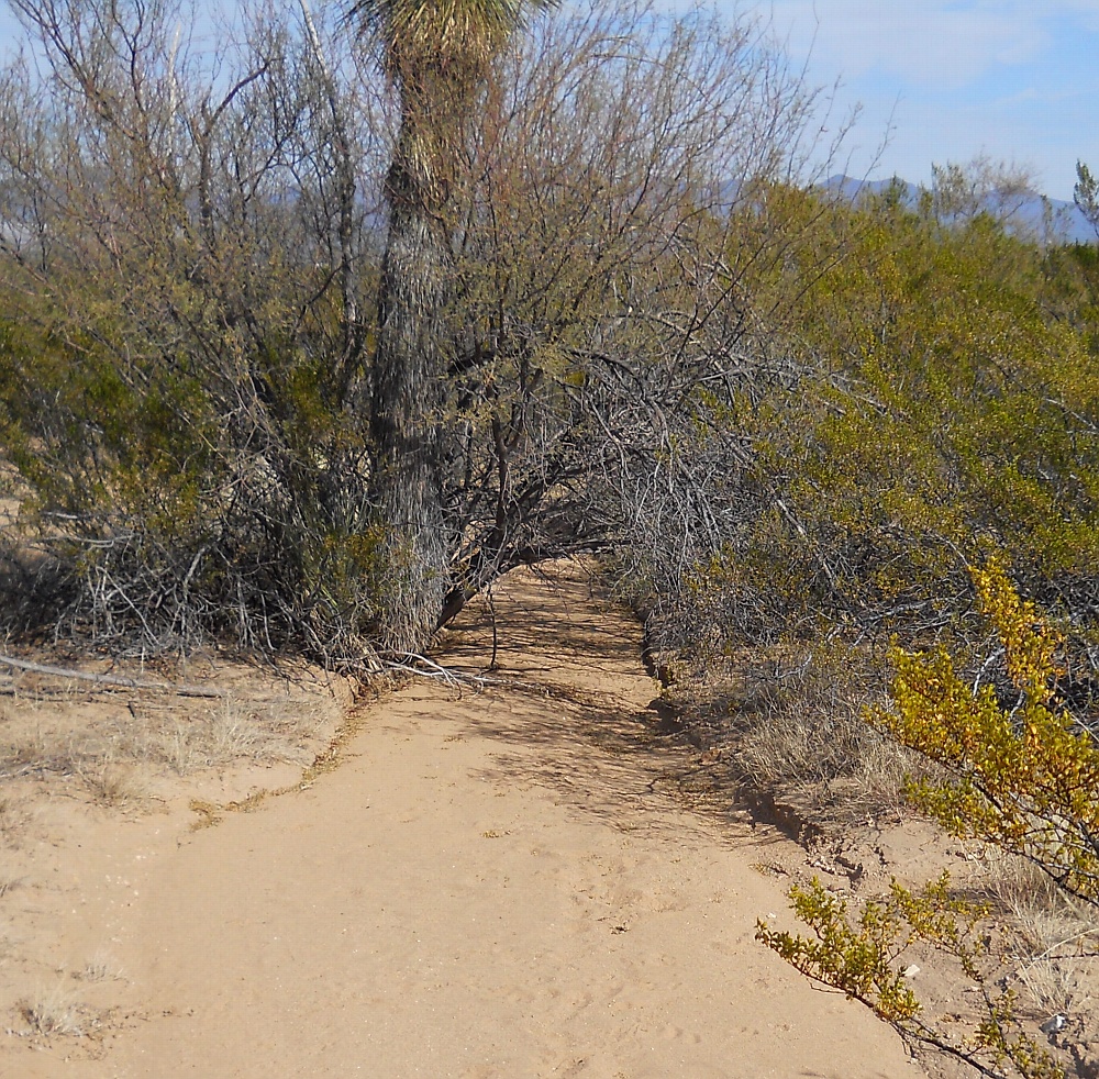
#HC265 mud14.jpg image access Middle Mud Springs Canal.
Viewed north from N 32.83327 W 109.81395.Spoil banks seem absent in this segment of the Mud Springs
canal which seems to depend on largely unmodified natural
drainages. Characteristics of a genuine canal reach do
include an unvarying constant slope near two percent,
a constant width free of braiding, and uniform fill.
Nearest 4WD track is N 32.83225 W 109.81489.
Click to expand the image.
Possible field notes here.