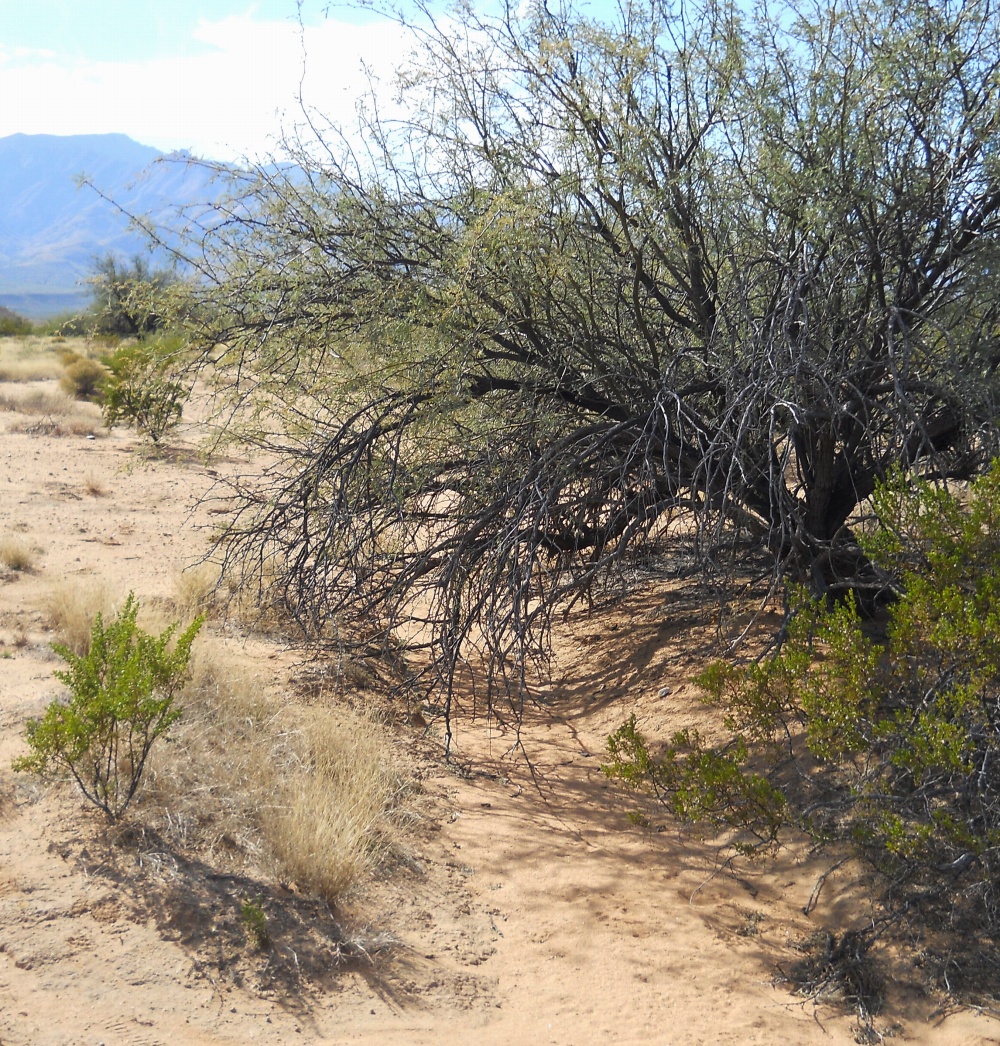
#HC263 mud12.jpg image access Middle Mud Springs Canal.
Viewed south from N 32.83160 W 109.81486.This view differs little from a natural drainage. But
it has perfect slope and consistent width and is most
reasonably sited between more credible sections. A
400 foot section seems to be missing entirely further
to the south but with a defined channel upstream.
Nearest 4WD track is N 32.83265 W 109.81430.
Click to expand the image.
Possible field notes here.