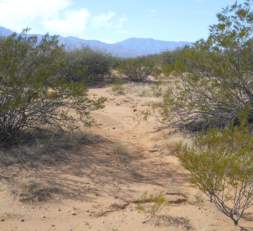
#HC261 mud10.jpg image access Middle Mud Springs Canal.
Viewed south from N 32.83181 W 109.81483.Recent probable mid extension of the Mud Springs Canal.
Approximately 400 feet of route remains unfound from its known
nearest source of N 32.83077 W 109.81547. Canal seems only
moderately defined and requires verification and its missing
portions resolved. West Peak is in the right background.
Nearest 4WD track is N 32.83271 W 109.81432.
Click to expand the image.
Possible field notes here.