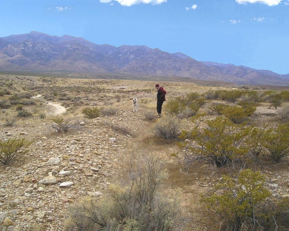
#HC156 mud1.jpg image access Mud Springs Canal mid route.
Viewed west from N 32.82638 W 109.82130.The Mud Springs canal originates in middle Ash Creek and
then does a watershed crossing into the Mud Springs area.
Shown just above the Troll House and before the branch
into the Jernigan Canals. An SCS dam from the 1930's
runs roughshod over the canal without access. Nearly
the entire canal can be seen from several locations,
suggesting that it acted as an early prototype.
Nearest 4WD track is N 32.82693 W 109.82115..
Click to expand the image.
Possible field notes here.