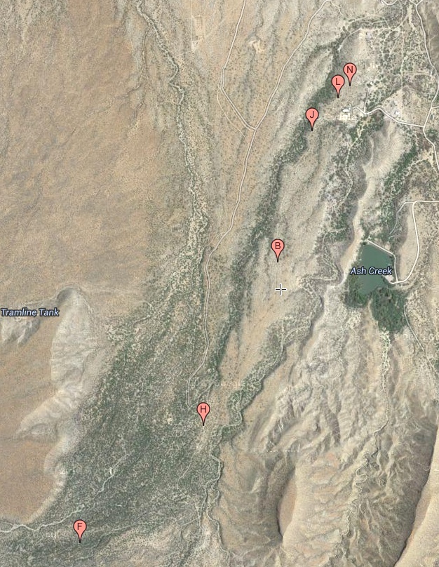
#HC155 minor_map1.jpg access A map of the Minor Webser Ditch.
Viewed down from N 32.80731 W 109.86841.The name and the "gradeall" size of an initial portion
of this canal suggests historical reuse, but the remainder
appears built to prehistoric standards. Reuse usually has an
obvious partial purpose that seems unknown here. The
takein and the destination still remain unverified.
Nearest 4WD track is N 32.79779 W 109.87300.
Click to expand the image.
Possible field notes here.