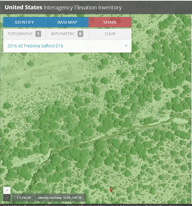
#HC142_ lidar2.jpg image access Lidar search for Reay Canal crossing.
Viewed down at N 32.81479 W 109.77580.
An attempt to use Lidar imaging to verify the purported
Reay Lane Canal crossing of Spring Canyon. This
possible crossing would be the slanty mid-screen
open path trending NNE. Rather disappointing.
Nearest paved road is N 32.82075 W 109.76713.
Click to expand the image.
Possible field notes here.