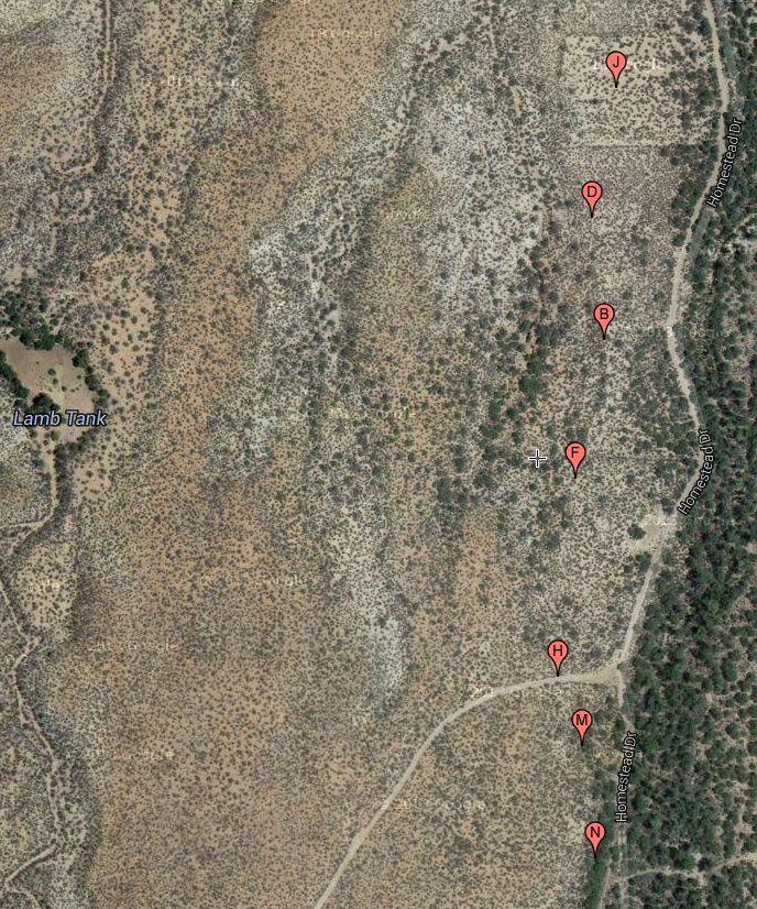
#HC139_ lefthcan1.map.jpg image access Map of a short western Lefthand Canyon Canal.
Seen down from N 32.82363 W 109.91822.
Short canal built to prehistoric standards and laregely
unmodified appears to have been historically reused to
serve up to four cardinal rectangular fields. Several
more canals near Lamb Tank remain unexplored.
4WD access is via N 32.82126 W 109.91826.
Click to expand the image.
Possible field notes here.