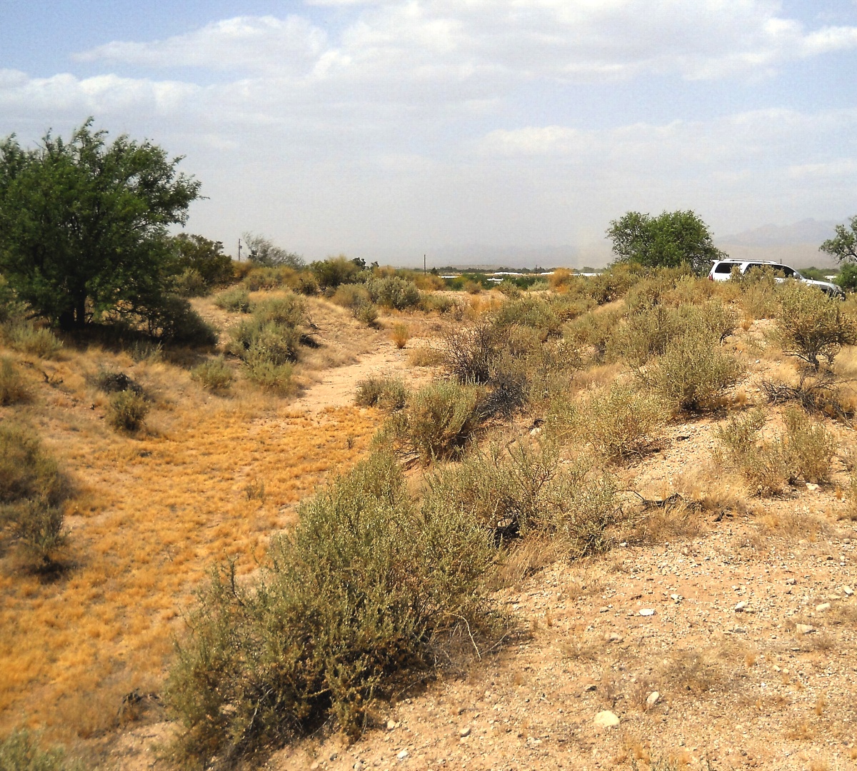
#HC129_ klon1.jpg image access Historical branch of Klondyke Canal System.
Viewed west from N 32.94137 W 109.92110.
A western historical branch of an artesian sourceed
canal system first described by Bandelier. The sheer
size is clearly in excess of any prehistoric original. Its
sourcing lake is now dry. This appears independent
of any direct Mount Graham stream runoff.
Road access at N 32.94174 W 109.92108.
Click to expand the image.
Possible field notes here.