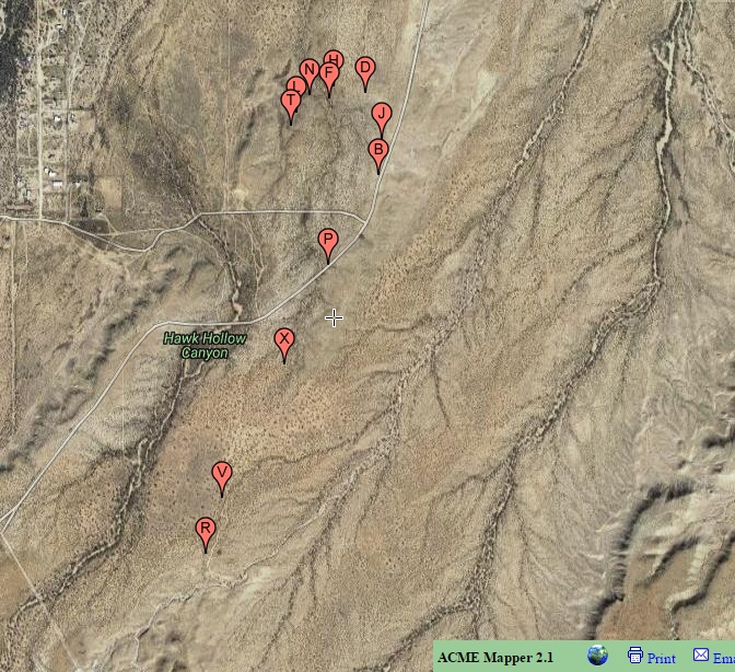
#HC126_ jern_map1.jpg image access Satellite map of South Jernigan canal..
Viewed down from N 32.83517 W 109.81846.
An earlier map showing the main portions of the
Jernigan Canal. Northern branch is not shown here.
Features include no less than four "U" turns, a tree
mid channel, a contraflowing wash crossing, a French
Drain, a significant hanging portion, and a well defined
end field area. Canal starts as a branch of the Mud
Springs Canal and is traceable north till it switches
to natural drainages, crossing North Layton Road
and splitting into two spoil banked channels. .
Nearest 4WD access points shown here.
Click to expand the image.
Possible field notes here.