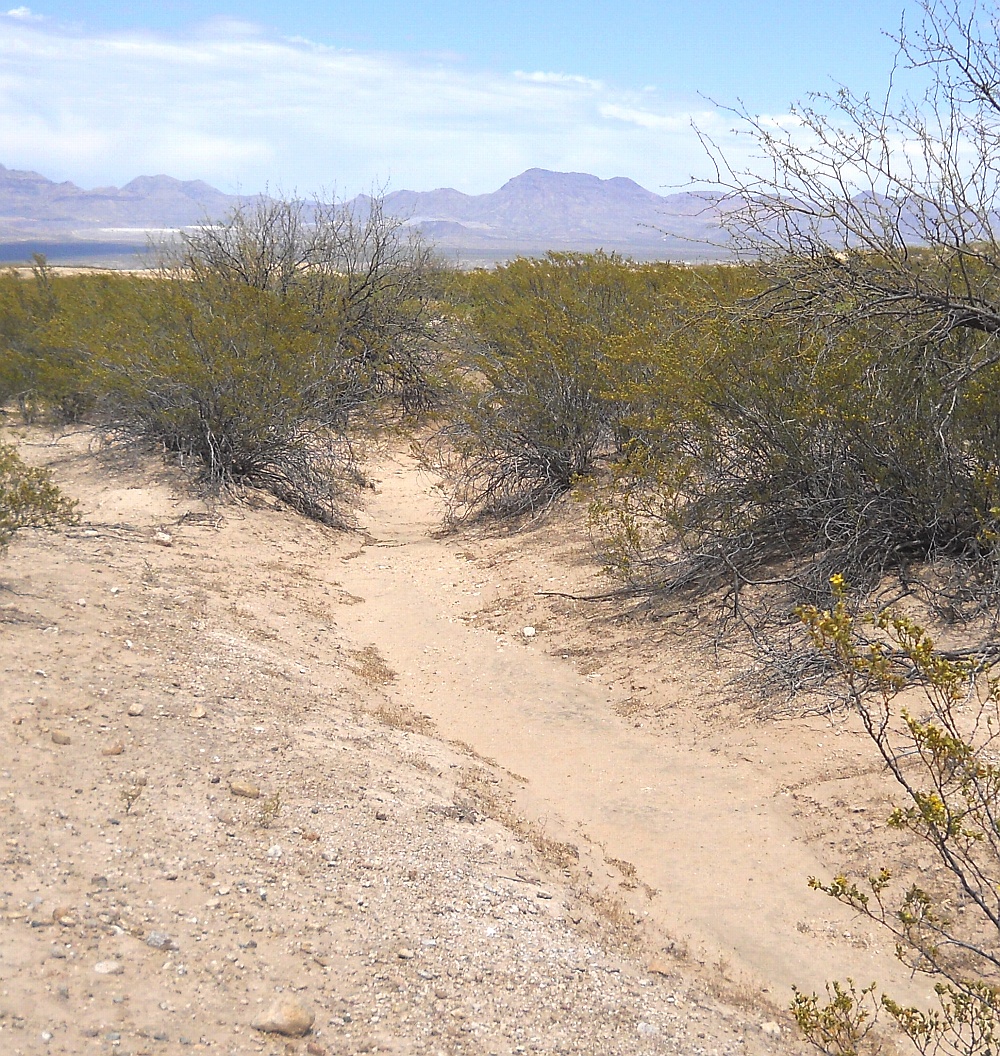
#HC124_ jern30.jpg image access Jernigan Canal South of Grandma Road.
Viewed north from N 32.83784 W 109.81522.
Yet another view before the Jrnigan Canal splits into
its northern and southern branches. The mine and the
Gila Mountains appear in the background. Image
is somewhat north of the Layton Road waterbar.
Nearest road access point: N 32.83885 W 109.81510.
Click to expand the image.
Possible field notes here.