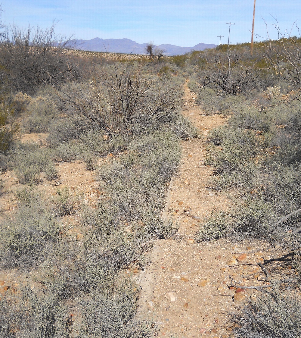
#HC120_ jenn4.jpg image access Another mid-route Jnnings Canal channel.
Viewed east from N 32.74240 W 109.69400.
As is typical, this obviously historic Jennings Canal
routing was apparently destroyed by a major mesa driven
flooding. Outside of the concrete, the size and scope and the
location of this routing appears entirely consistent with a
prehistoric origin from undetermined artesian sources.
Persistent local rumors of other canals do remain
largely unexplored in the area.
Nearest 4WD access point: N 32.74242 W 109.69420.
Click to expand the image.
Possible field notes here.