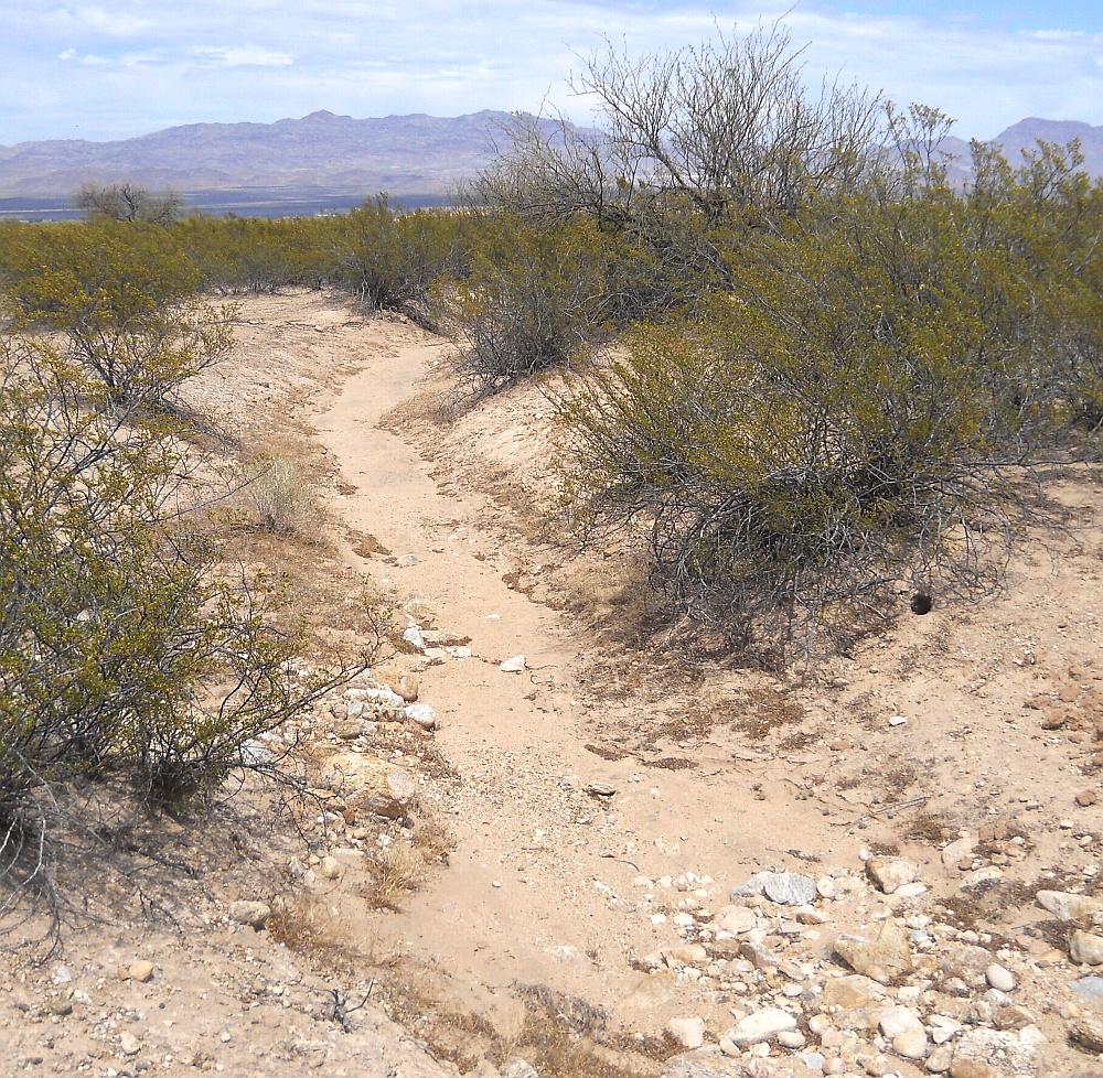
#HC119_ jern27.jpg image access Another mid-route Jernigan Canal channel.
Viewed north from N 32.83801 W 109.81509.
This portion of the Jernigan Canal is singular and quite
well defined. Previous segments apparently made use of
natural drainages, and post portions split into two channels
plus a third mystery construct that may or may not be purely
historic. Destination of the northern split remains unknown.
The Gila Mountains and the mine can be seen to the north.
Nearest 4WD access point: N 32.83881 W 109.81508.
Click to expand the image.
Possible field notes here.