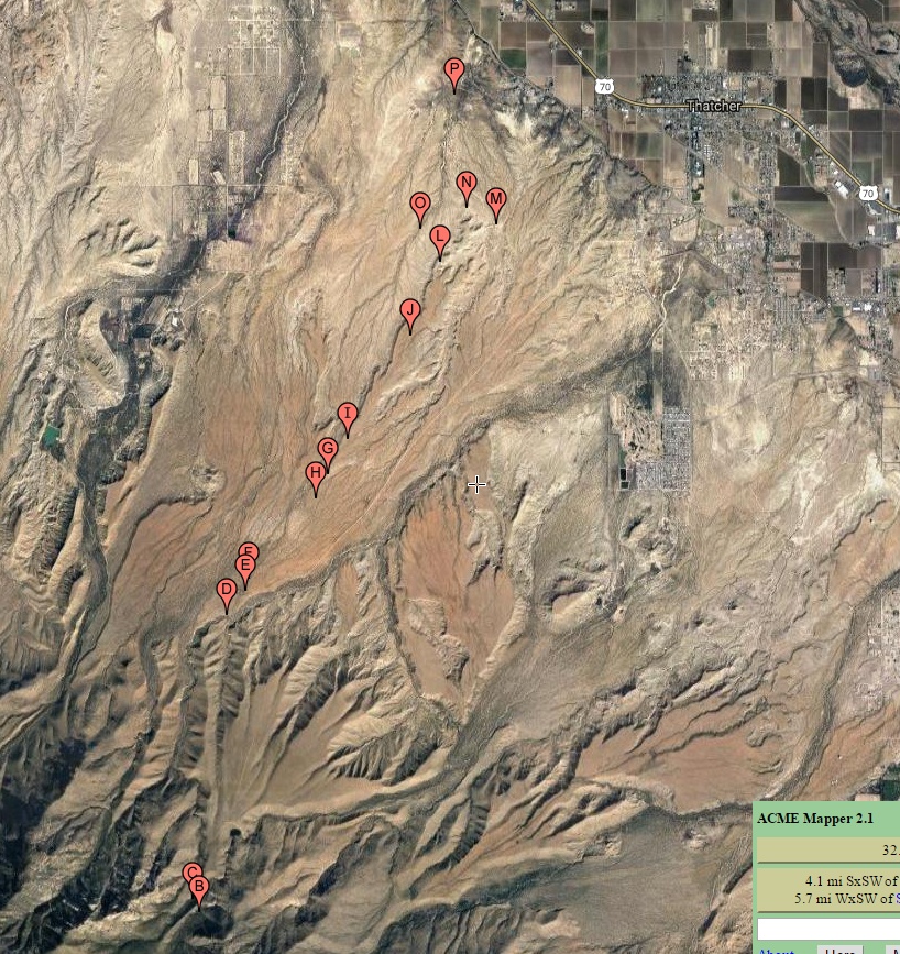
#HC117_ allen_map1.jpg image access Terrain map of the Allen Canal.
Viewed down from N 32.80704 W 109.81502.
The Allen Canal is presumed but not proven to start at
Frye Creek above the falls with a believed watershed
crossing to the Spring in Spring Canyon. Water then
flows down stream over natural channels to a takein
somewhat south of Hawk Hollow Tank. The routing
continues northward along a mesa top to eventually
cascade into the failed Allen Reservoir. Once past
the dam, the canal goes through a major Cuebra Cut
and is presumed but not proven to end up under the
Central Dam.
Nearest 4WD access points are shown here.
Click to expand the image.
Possible field notes here.
