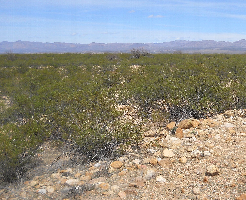
#HC112_ jern21.jpg image access Another example of a Jernigan Canal spoil bank.
Viewed north from N 32.83817 W 109.81499.
The presence of spoil banks is typical over half
of the canal reaches and depends upon how rocky
the terrain is and upon the relative elevation of
the required height of the canal with respect to
the present natural terrain. Spoil banks are
usually quite uniform and non-natural. Area
shown is just south of Grandma Road.
Nearest 4WD access: N 32.83882 W 109.81509.
Click to expand the image.
Possible field notes here.