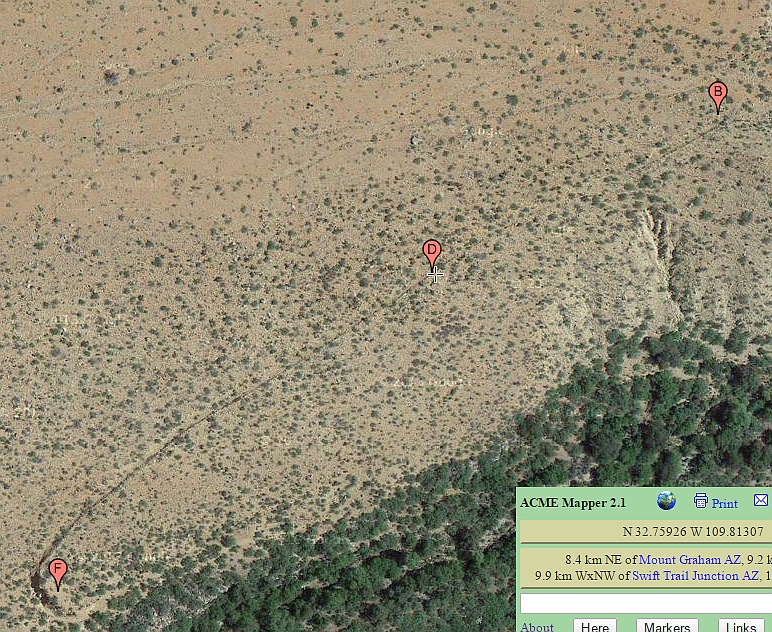
#HC106_ hscan1_map.jpg image access Counterflowing HS Canal.
Viewed north from N 32.75911 W 109.81342.
The mid Frye Mesa braided canals split at this point,
routing horizontally to become the Robinson Canal and
counterflowing back down into Frye Creek by way of the
HS Canal. The latter presumably but still unproven to
become the Golf Course Canal and the Lower Frye
Complex canals. This is a major construct which is
atypically large and steep. Its very presence gives
credibility to an unproven Upper Frye watershed
crossing similar to the one found in Ash Creek.
Nearest 4WD access: N 32.75632 W 109.81528.
Click to expand the image.
Possible field notes here.