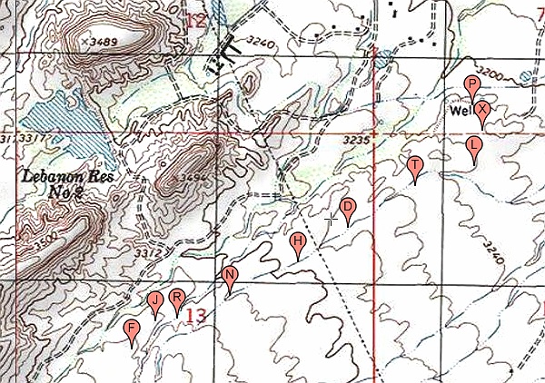
#HC103_ henry_topo1.jpg image access Topo map of Henry's Canal .
Viewed down from N 32.74079 W 109.72859.
This portion of Henry's Canal is large and fairly easily
traced. It appears to be the southernmost of all the
Marijilda Creek derived canals and has a very well
defined mid-route end user area. Access is via the
Lebanon Reservoir road, or a power access road,
or a 4WD trace west from Thunderbird Estates.
Access points: N 32.73822 W 109.74444
or N 32.73978 W 109.73566
or N 32.74359 W 109.72761.
Click to expand the image.
Possible field notes here.