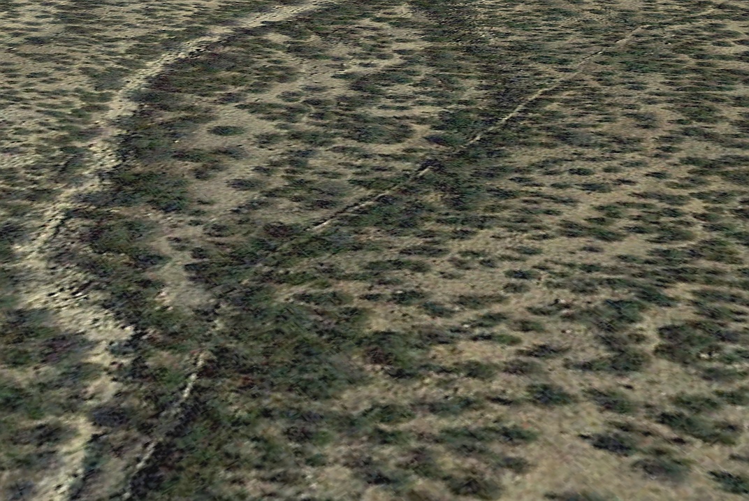
#HC102_ henry9.jpg image access Takein of Henry's Canal from a natural drainage.
Viewed east from N 32.73724 W 109.74222.
This well defined takein is apparently midway along the
Henry's Canal. While there are some hints of canal work
to the west, these are not yet resolved. It has yet to be
determined how natural channels were combined with
purposeful constructs. Original water source seems
to be Marijilda Creek via the Lebganon Canal.
Nearest 4WD track is at N 32.73822 W 109.74444
Click to expand the image.
Possible field notes here.