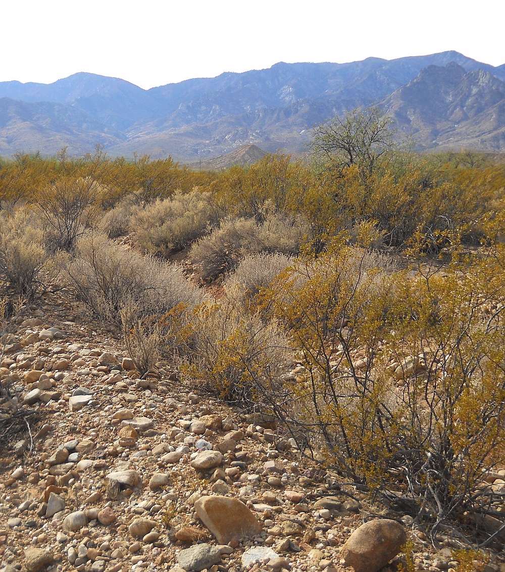
#HC101_ henry35.jpg image access Main route of Henry's Canal in ponding area.
Viewed south from N 32.74339 W 109.72808.
There are two parallel canals midway along the Henry's
Canal. The easternmost canal appears to act as a ponding
area for several well preserved destination fields of
varying styles and sizes. The main canal continues
northward to a presently unresolved destination.
Nearest 4WD track is at N 32.74360 W 109.72765.
Click to expand the image.
Possible field notes here.