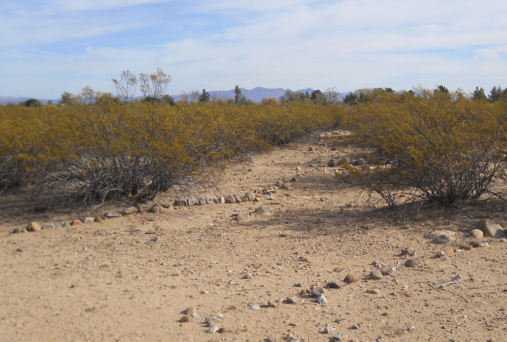
#HC097_ henry30.jpg image access A destination field east of Henry"s Canal .
Viewed southeast from N 32.74339 W 109.72808.
Several different destination field styles seem
associated with a mid canal ponding area which
is fed by Henry's Canal. This one seems rather
unusual in that the rocks appear to be arranged to
mark boundaries rather than evaporation control.
Nearest 4WD track is at N 32.74360 W 109.72765.
Click to expand the image.
Possible field notes here.