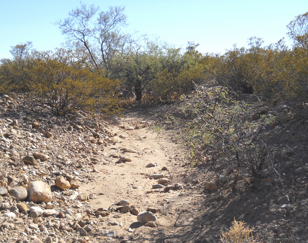
#HC093_ henry10.jpg image access Typical path on Henry's Canal.
Viewed east from N 32.73985 W 109.73646.
Henry's Canal appears to be the southernmost of the
Marijilda Canals. It seems wider and shallower than
many of the others. As the Roper Canal attempts
to "cross" Henry's, this strongly suggests that
Roper is uniquely and historically later.
Nearest 4WD track is at N 32.73985 W 109.73646.
Click to expand the image.
Possible field notes here.