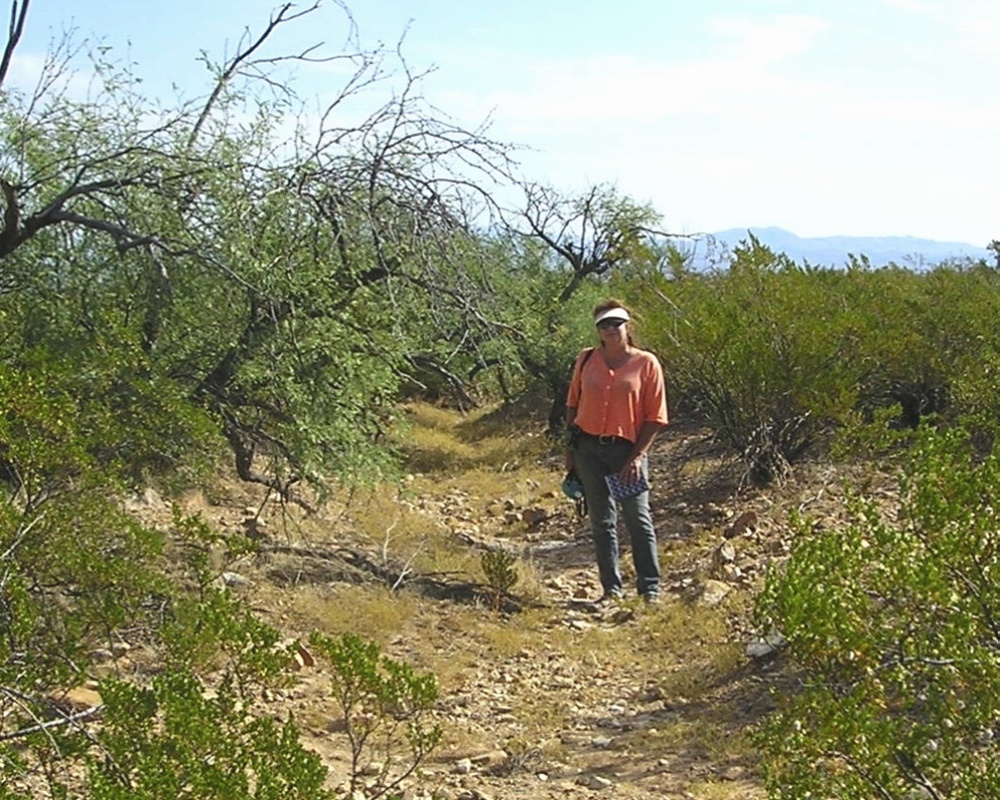
#HC092_ henry1.jpg image access Mid Route on Henry's Canal.
Viewed east from N 32.73743 W 109.74158.
Henry's Canal is Marijilda Creek derived and has
identifiable destination fields, several of which are
mid route. Portions of the reach may be a natural
drainage. Several canal hints remain upstream.
Nearest 4WD track is at N 32.73865 W 109.74402.
Click to expand the image.
Possible field notes here.