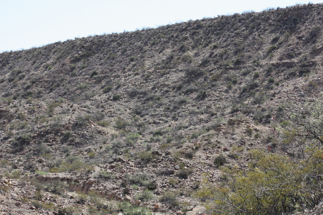
#HC089_hangcan1.jpg image access An early image of the High Lebanon hanging canal.
Viewed southeast from N 32.73693 W 109.75280.
This "hanging" canal is two hundred feet "up" from its
localized drainage! Hanging canals on the sheer edges
of mesas made their slope independent of terrain, and
thus required far less construciton effort. A French Drain
like structure was used to get the water back off the mesa.
Nearest 4WD track is at N 32.73327 W 109.75989.
Click to expand the image.
Possible field notes here.