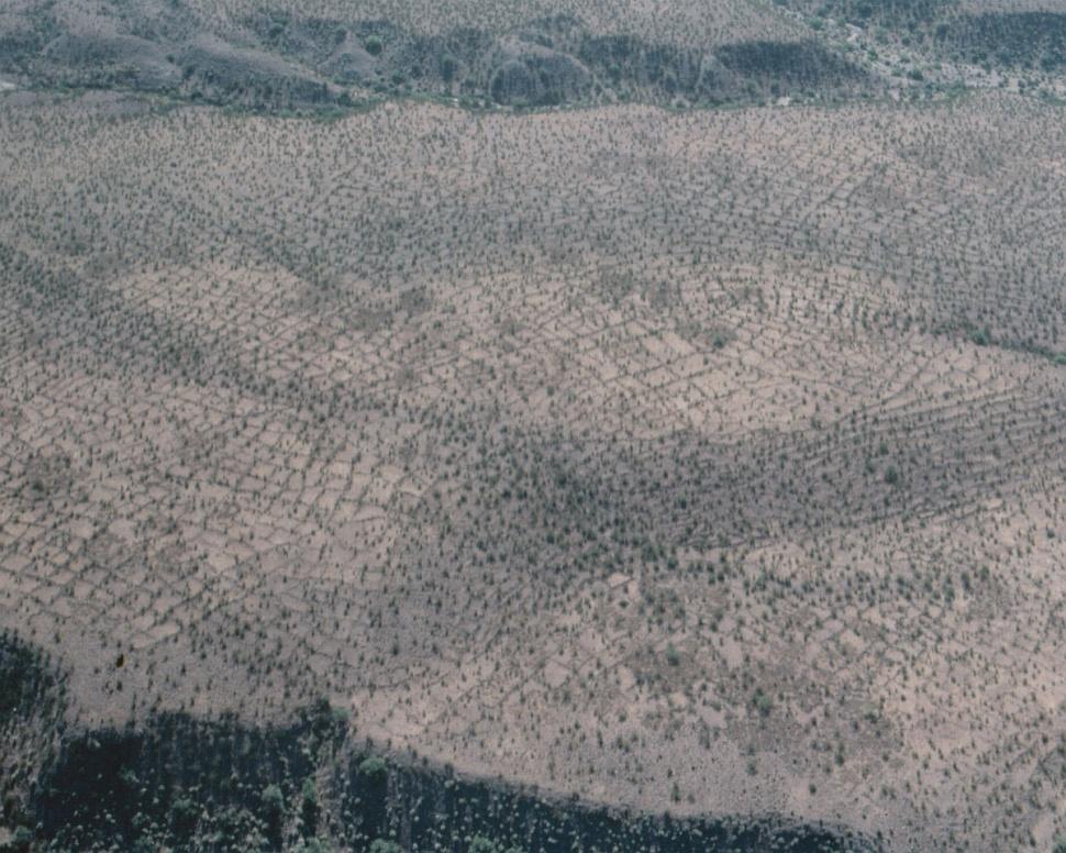
#HC088_grids.jpg image access The northern agricultural grids
Viewed northeast from N 32.93028 W 109.80627.
Tens of thousnds of these agricultural grids exist north
of the Gila River, along with several hundred or so to the
south. Likely crop was aguave, grown under the field
edge rock alignments. These have little to do with
the hanging canals, but are yet another example
of contemporaneous prehistoric cultivation.
Nearest 4WD track is at N 32.93977 W 109.80581.
Click to expand the image.
Possible field notes here.