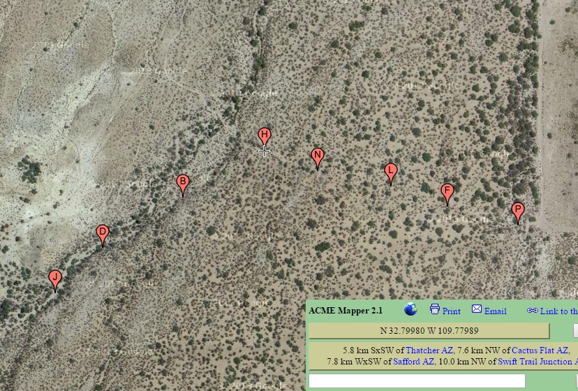
#HC083_golf3.jpg image access Mid Portion of the Golf Course Canal.
Viewed down at N 32.79907 W 109.78146.
Shows the route between the southernmost Daley pond
and includes a significant hanging portion in Riggs Canyon.
The presumed route from Lower Frye Creek through the
Riggs Mesa gap remains unknown. As does a link north
to the Reay Canal. The area is culturally rich.
Nearest 4WD track is also at N 32.79907 W 109.78146.
Click to expand the image.
Possible field notes here.