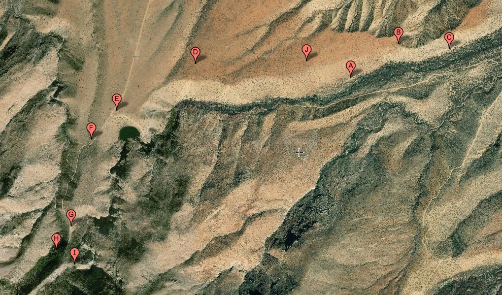
#HC076 fryemesa2_map.jpg access A map of the Upper Frye Mesa Canal Segments.
Viewed down near N 32.75193 W 109.83107.
This series of canal segments is presumed ( but not
proven ) to start above Frye Mesa Falls with a short
watershed crossing canal segment linking to the spring
in Spring Canyon. Water can then be sent down natural
Spring Canyon to become the Allen Canal, or down Frye
mesa to eventually become several other canals. Some
curious CCC interactions can be seen midway here.
The nearest 4WD track is N 32.75507 W 109.83536.
Click to expand the image.
Possible field notes here.