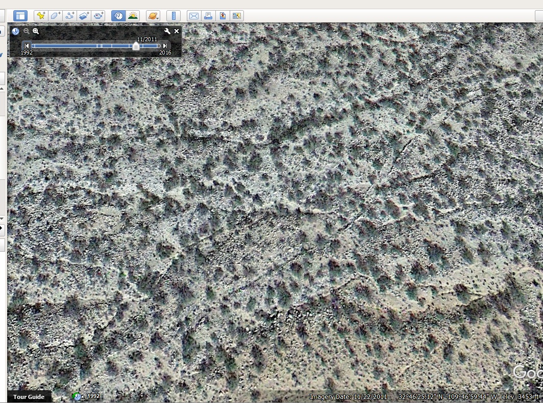
#HC075 frye_lead200.jpg image access An image of missing Lower Frye Complex canal route.
Looking down from N 32.77185 W 109.78130.A significant and hard to reach gap still exists between
the Lower Frye Complex and the Blue Ponds Canal. This
image shows some areas which hint at intermediate canal
routings. Four gaps exist in what could combine Upper
Frye, HS Canal, Lower Fry Complex, Blue Ponds, and
Freeman Canals into a 12.5 mile long entity.
Nearest 4WD track is at N 32.77213 W 109.79211
Foot access is difficult.
Click to expand the image.
Possible field notes here.