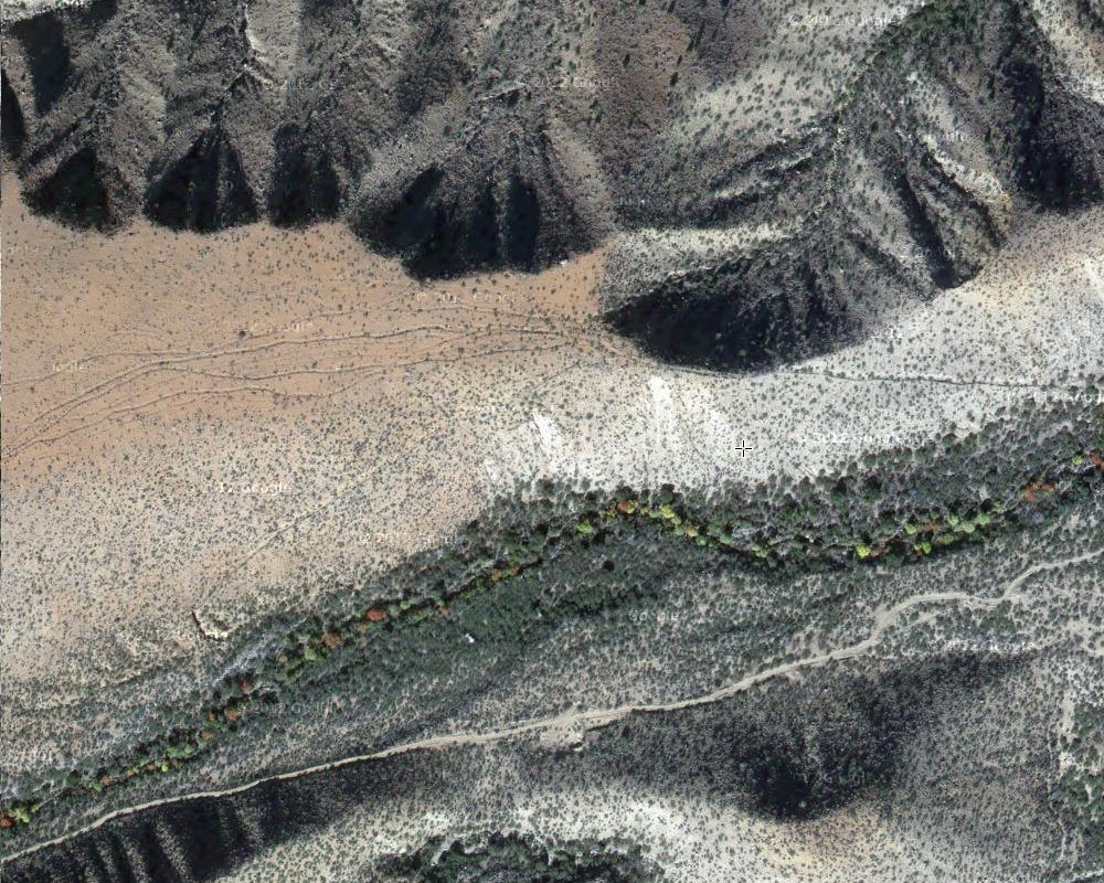
#HC073 frye2.jpg image access Frye Mesa Ponding and Distribution Area.
Looking down from N 32.76010 W 109.81133..Braided Channels apparently CCC modified route to
a small pond where an eastern branch goes to the Robinson
Canal and a downcanyon counterflowing canal creates the HS
Canal, which is believed, but unproven, to be a source for the
Lower Frye Complex, Blue Ponds, Freeman, possible canyon
fields, and the Golf Course Canals.
Nearest 4WD track is at N 32.75653 W 109.81416
Click to expand the image.
Possible field notes here.