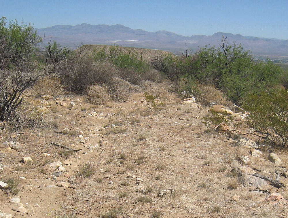
#HC071 frye109.jpg image access More mesa top portion of Lower Frye Complex.
Looking south from N 32.76657 W 109.79358.Although still without proof, this is presumed to be driven
from the HS Canal found two miles upcanyon. Should all
the pieces end up connected, this would be the longest
hanging canal at a staggering 12.5 miles.
"Nearest" 4WD track is at N 32.76899 W 109.79460.
A fence gate at N 32.76398 W 109.79594 might be useful.
Click to expand the image.
Possible field notes here.