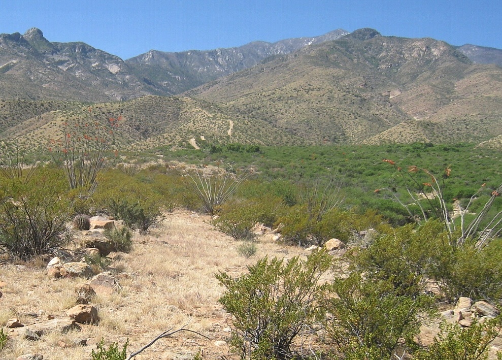
#HC070 frye108.jpg image access Mesa top portion of Lower Frye Complex.
Looking south from N 32.76657 W 109.79358.The mesa top portion of the Lower Frye Complex
canal could be easily confused with a wagon road or a
4WD route, except that its sole purpose appears to be
be a source for the hanging portion of a prehistoric canal.
"Nearest" 4WD track is at N 32.76899 W 109.79460.
This area is mostly foot only and fairly hard to reach.
Click to expand the image.
Possible field notes here.