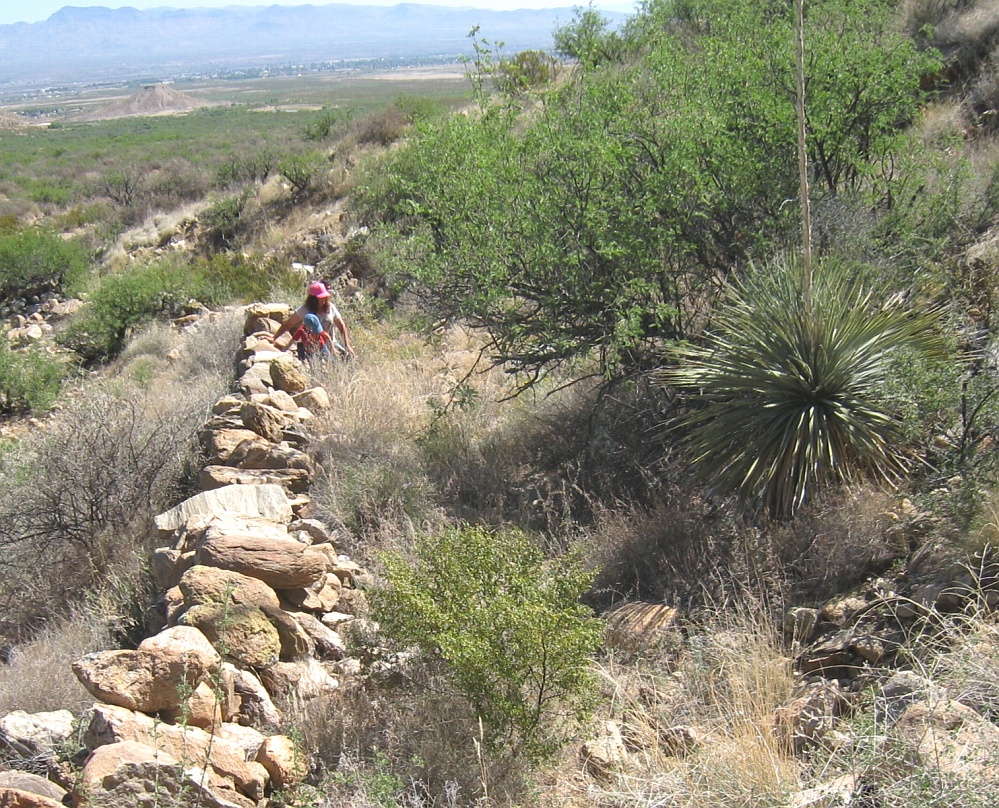
#HC068 frye104.jpg image access Another view of Lower Frye Complex
Looking north from N 32.76761 W 109.79237This construct is much too narrow to be a wagon road
and its slope is far too constant to be anything but a
prehistoric canal route. The spoil banks here appear
exceptinally large. Thanks to Henry Schneiker and
Phyllis Ferringa for their research assistance.
Nearest 4WD track is at N 32.76899 W 109.79460
Click to expand the image.
Possible field notes here.