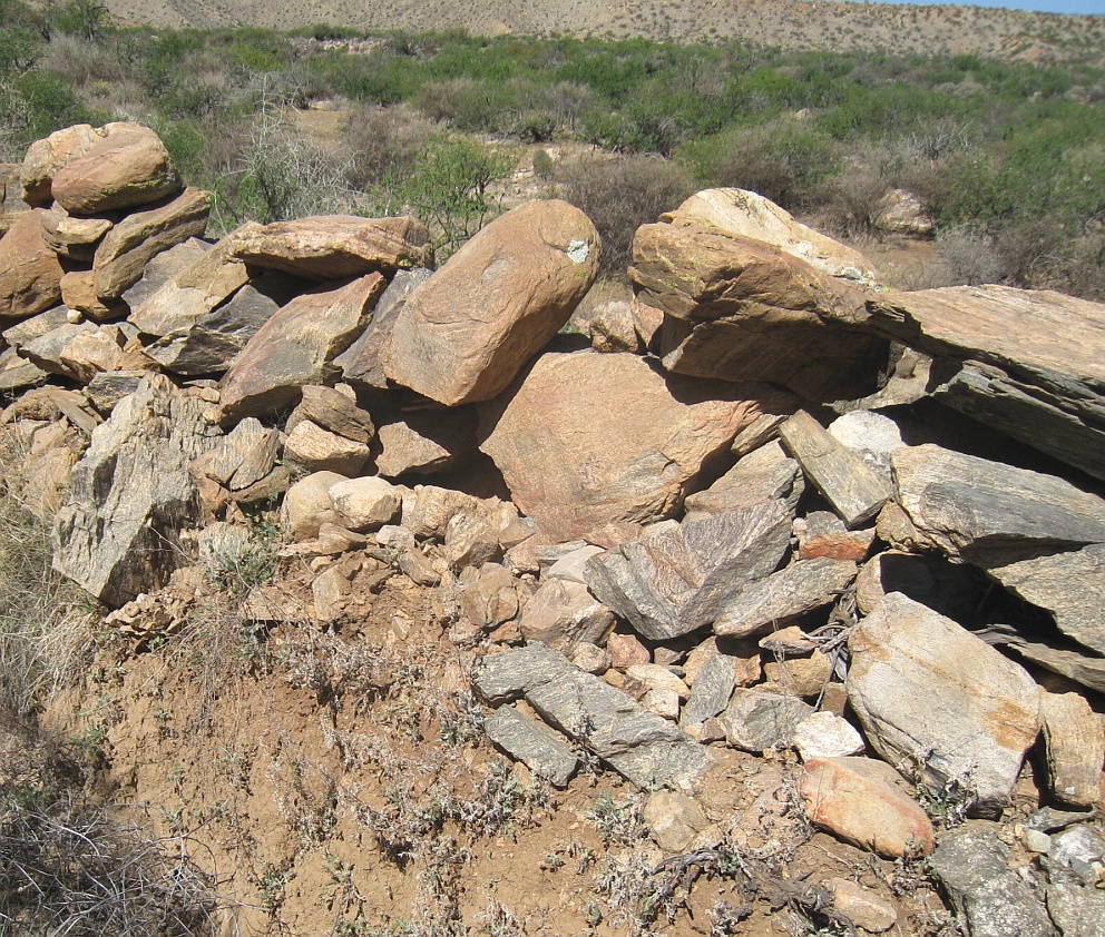
#HC067 frye103.jpg image access Hanging Portion of Lower Frye Complex
Looking west from N 32.76767 W 109.79217This particular area has the largest rocks in its
spoil banks, and, again, seems to be extremely
hostile terrain for canal building. Even at these
sizes, the individual rocks appear human liftable.
Nearest 4WD track is at N 32.76899 W 109.79460
Click to expand the image.
Possible field notes here.