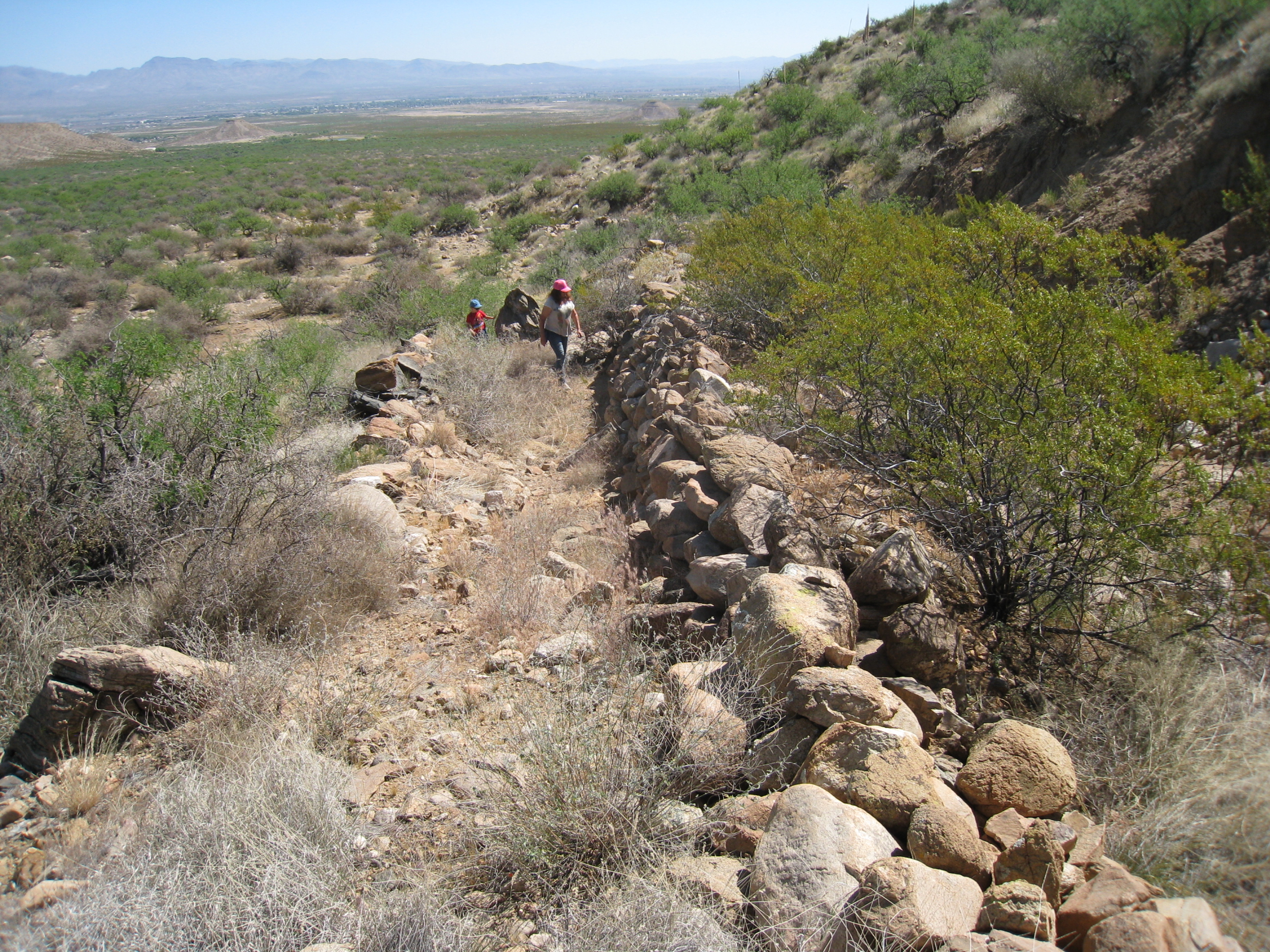
#HC063 frye100.jpg image access "Hanging" portion of the lower Frye Complex..
Shown west from N 32.76765 W 109.79218The hanging portion here is one of four known significant
earthmoving projects that include the Culebra Cut,
the Aqueduct, and the HS Canal. Outside of the
Blue Ponds to the north, there is no historical
rebuilding evidence along much of this route.
Nearest 4WD track is at N 32.76812 W 109.79497
Click to expand the image.
Possible field notes here.