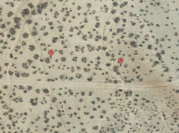
#HC061 freeman_map.jpg image access End access point of the Freeman Canal
Shown northeast at N 32.79824 W 109.75119
Several ponding areas, smaller end use canals, and
numerous rock alignments are in the area of what
is potentially the longest canal in the system. As
is typical, Acme Mapper resolution is marginal
enough to omit key details.
Nearest 4WD track is at N 32.79996 W 109.75059.
Click to expand the image.
Possible field notes here.