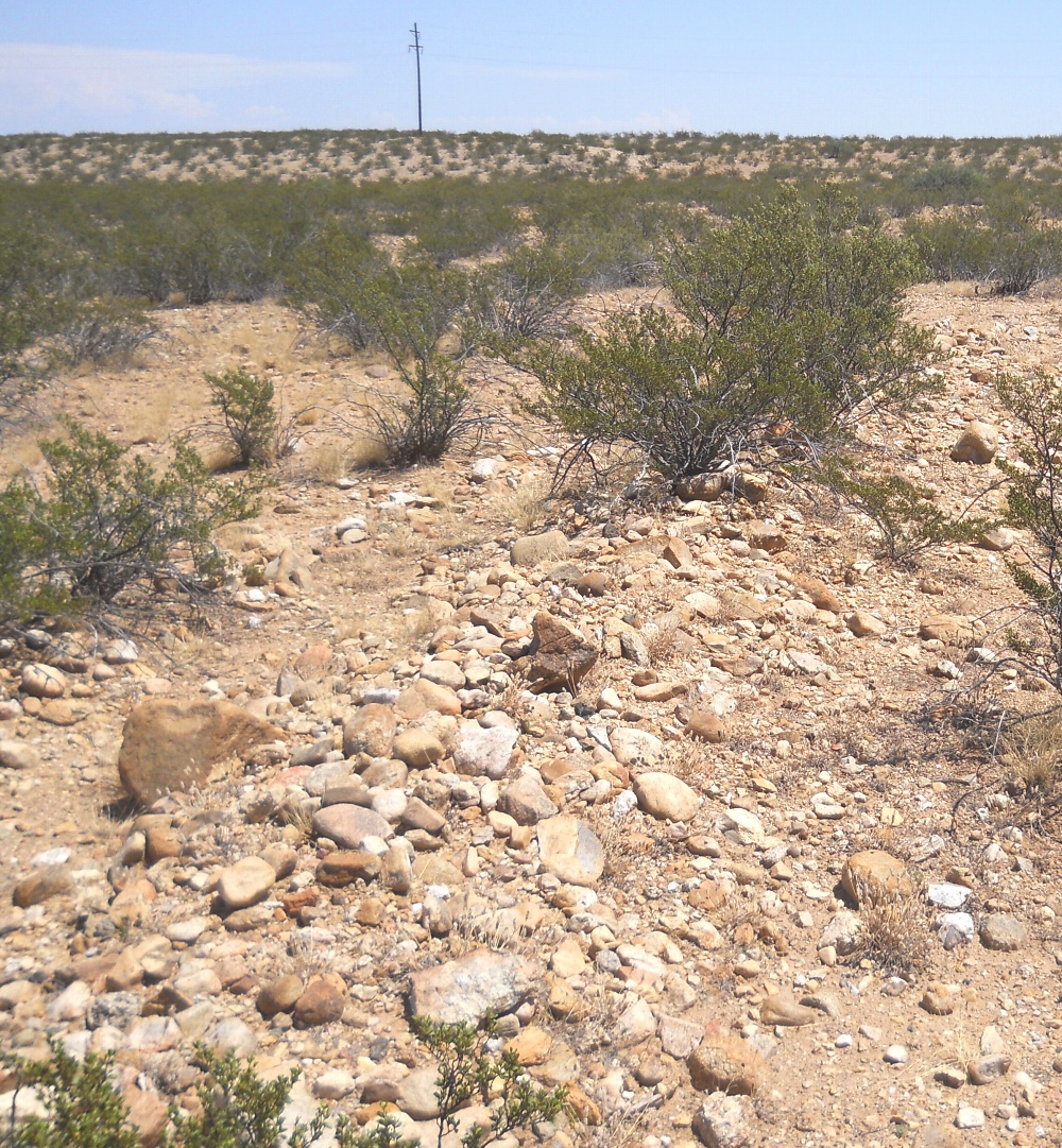
#HC058 freeman7.jpg image access Near the northernmost limit of the Freeman Canal.
Shown northeast at N 32.79824 W 109.75119
Some end use canals in this area are much shorter and
smaller than the main distribution routings. Spoil banks
are often prominent features in the more rocky areas.
Nearest 4WD track is at N 32.79996 W 109.75059.
Click to expand the image.
Possible field notes here.