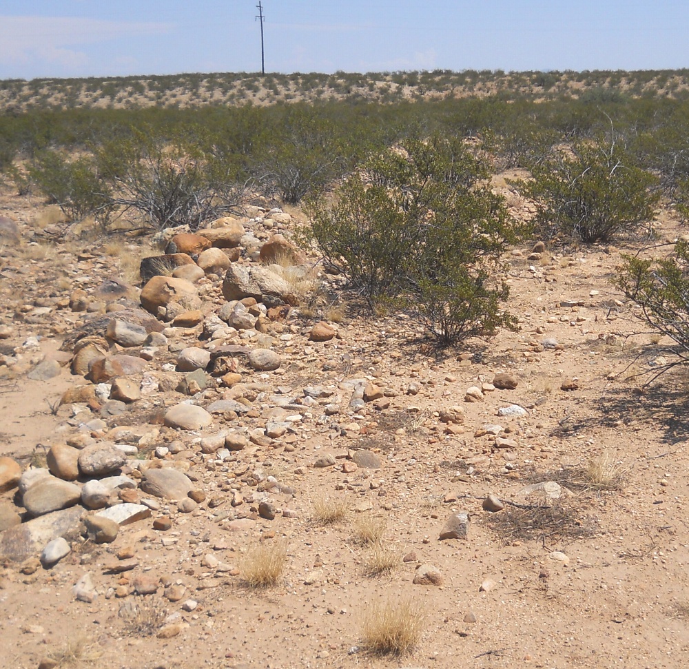
#HC057 freeman6.jpg image access Near the northernmost limit of the Freeman Canal.
Shown northeast at N 32.79824 W 109.75119
Linear alignments are a field defining feature of many
of the hanging canals. Crops were possibly grown inside the
rockpiles which may have acted as water retaining mulch.
Nearest 4WD track is at N 32.79996 W 109.75059.
Click to expand the image.
Possible field notes here.