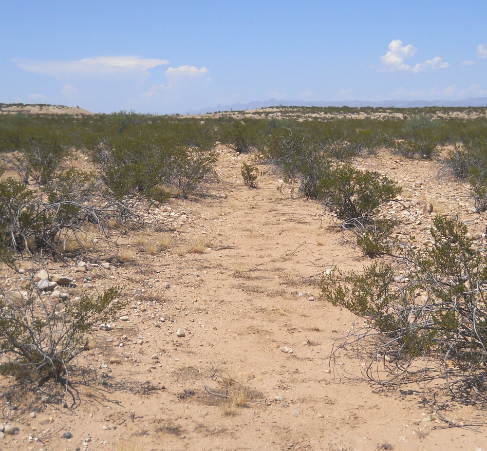
#HC055 freeman4.jpg image access Prehistoric fields just north of Blue Ponds Canal.
Shown east at N 32.78120 W 109.77718
Another view of the "mid route" field diversion of the
blue ponds canal. A large portion between the Lower
Frye and Blue Ponds portions remains unexplored
and of difficult access. A definite drone candidate.
Nearest 4WD track is at N 32.78225 W 109.77830.
Click to expand the image.
Possible field notes here.