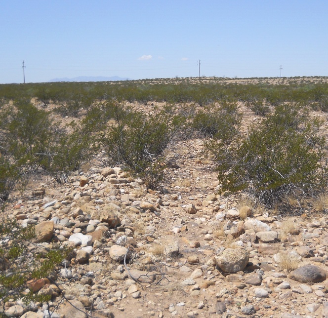
#HC054 freeman3.jpg image access Apparent northerly Freeman Canal terminus.
Shown east at N 32.78120 W 109.77718
Several branches and mixed small fields seem
to be characteristic of the known northern limit of
the Freeman Canal. If in fact all of the segments
of Upper Frye, HS, Lower Frye Complex, Blue
Ponds, and Freeman can be cojoined, the total
length would seem to exceed twelve miles!
Nearest 4WD track is at N 32.79999 W 109.75120.
Click to expand the image.
Possible field notes here.