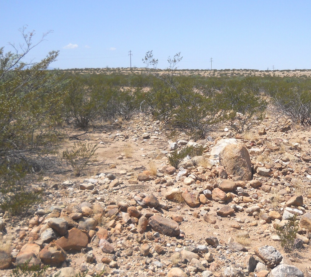
#HC053 freeman2.jpg image access Prehistoric fields just north of Blue Ponds Canal.
Shown south at N 32.78120 W 109.77718
Unusual "mid route" field diversion of the blue ponds
canal, aka the lower frye complex, or the freeman canal.
Gives rather clear evidence that the historic blue ponds
concrete was a "steal the plans" adaption of this
prehistoric original. A significant gap still exists
to the south of the blue ponds diversion.
Nearest 4WD track is at N 32.78225 W 109.77830.
Click to expand the image.
Possible field notes here.