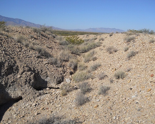
#HC045 culebra2.jpg image access Main portion of the major Allen Canal cut.
Shown west at N 32.83564 W 109.79785.An end-on view of a portion of the Allen Canal below
the dam, seen from a presumed modern washout. This
is believed to be the largest earth moving project in the
entire hanging canal project. Similar major excavations do
include the HS canal, the aqueduct, and the lower frye
complex. The Allen dam failure docs are found here.
Nearest 4WD track is at N 32.83564 W 109.79785.
Reached via Thatcher International Airport.
Click to expand the image.
Possible field notes here.