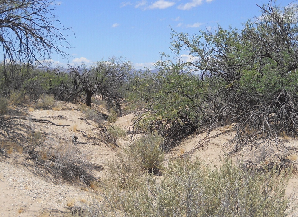
#HC040 cluffnw8.jpg image access Original portion of the CluffNW Canal.
Shown south atN 32.82675 W 109.84629.Portion of the original prehistoric CluffNW Canal just
south of its sandy wash crossing. It seems to have very
extensive erosion and stream piracy issues. The historic
revised version lies several hundred fee easterly. Other
example reaches exist where the prehistoric and historic
routes differ. This canal system provides exceptionally
convincing examples of historic "dig out an old ditch".
Nearest 4WD track is at N 32.82643 W 109.84577.
Click to expand the image.
Possible field notes here.