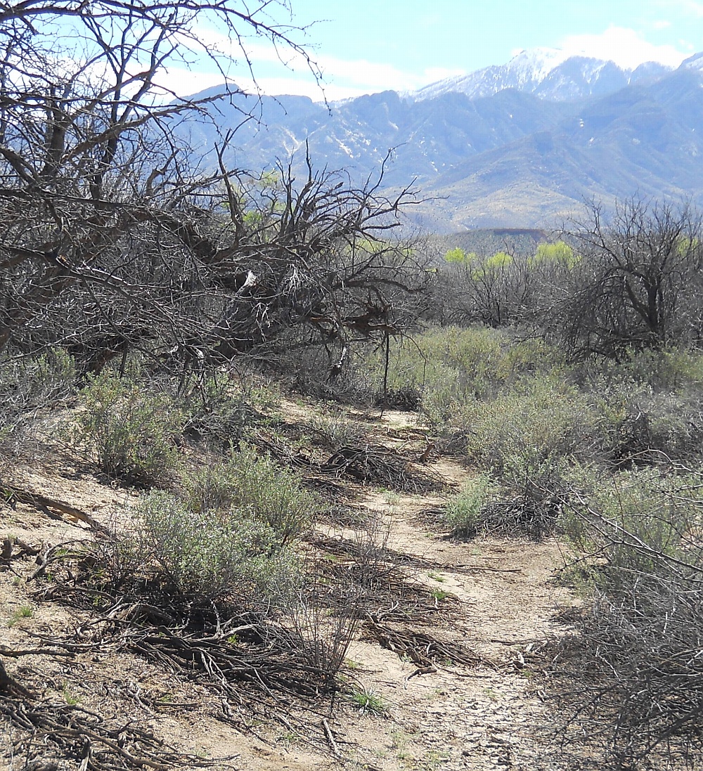
#HC034 cluffnw2.jpg image access Historic Cluff Ponds Northwest Replacement.
Shown south at N 32.82666 W 109.84589.This huge "Gradeall class" canal was intended as a
historic replacement for its prehistoric canal a few
hundred feet to the west. Both apparently derived
their water from Ash Creek. The historic version
added such features as weirs and siphons.This particular canal forms the strongest "proof"
of some ( and possibly nearly all ) historic canals
originating in fact as "dig out an old ditch","steal
the plans", or "borrow the blueprints" of earlier
prehistoric predecessors.
Nearest 4WD track is at N 32.82650 W 109.84575.
Click to expand the image.
Possible field notes here.