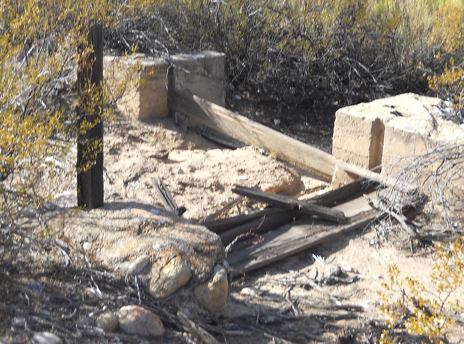
#HC030_bluepond3.jpg image access Headgate of the historic portion of the Blue Ponds Canal.
Shown southwest at N 32.78101 W 109.77853.The Blue Ponds Canal is a historically reworked portion
of the Lower Frye Complex Canal and the Freeman Canal.
Its modified purpose was apparently to switch water routing
from Blue Pond and No Name Pond. Only the headgate area
seems to have bere modified. The canal segment to the south
remains undiscovered and it is not at all clear where the water
came from during its historic and now discontinued use.The Lower Frye Complex portion of the canal shows no
signs of historic flow, so the Blue Ponds portion was
likely derived from a contemporaneous pipeline.
Nearest 4WD track is at N 32.78160 W 109.77962.
Click to expand the image.
Possible field notes here.