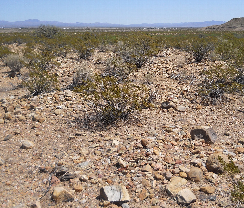
#HC027 bluepmulchrings.jpg image Mulch rings in the Blue Ponds Canal area.
Shown east at N 32.78831 W 109.76683.A large collection of dozens of mulch rings appears to be in
association north of the Blue Ponds area of the combined
Lower Frye Complex and Freeman Canals. These are
single layered rock rings sometimes incorrectly called
"cairns". These rock groupings presumably reduced
rainfall evaporation. This is the largest of several
known occurances. A northern grid lies nearby.Nearest rough 4WD track is at N 32.78844 W 109.76700.
Click to expand the image.
Possible field notes here.