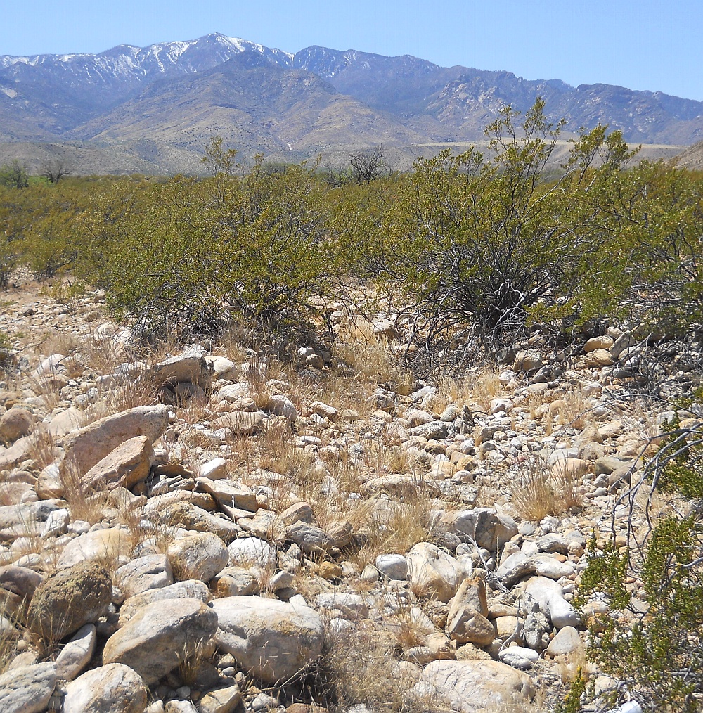
#HC026 bluep1.jpg image access Reversion view of the Blue Ponds Canal portion.
Shown southwest at N 32.78101 W 109.77668.The Blue Ponds Canal was a historically reworked section
of the Lower Frye Complex and Freeman Canals. Shown
here is somewhat north of the headgated portion where
construction seems reverted to prehistoric standards.Nearest rough 4WD track at N 32.78199 W 109.77510
Click to expand the image.
Possible field notes here.