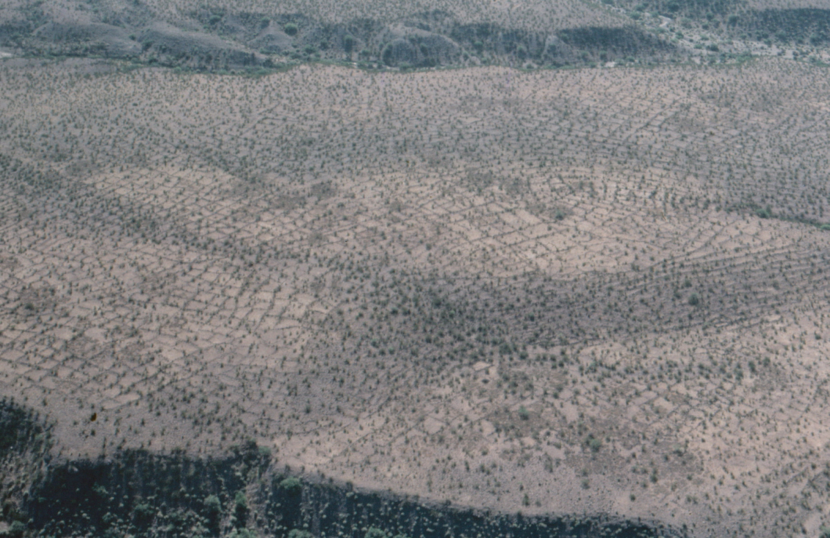
#HC024 bestgrid.jpg image access Dry Farmed Agraian Grids.
Shown northeast near N 32.93719 W 109.80258.An extensive number of dry farmed grids also form a unique
feature of the Gila Valley. Water was collected in the "inside"
areas and stored under the border rocks. Agave was the most
likely crop and these may have served as giant mescal booze
factories. There are thousands of grids north of the Gila River
and a few hundred to the south. While often contemporaneous, these grids do appear largely unrelated to the canals.Nearest of many roads at N 32.93979 W 109.80632
Click to expand the image.
The definitive book here.